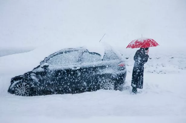
The UK is bracing for a snowstorm post-Christmas as the country shivers in freezing temperatures. Weather maps and charts, based on Met Desk data by WX Charts, reveal that only one area will escape the snowfall set to hit England.
The worst of the weather will occur on January 2, with up to 24cm - or nine inches - of snow expected in the hardest-hit areas. The Scottish Highlands will bear the brunt of it, with snowy conditions also predicted across the north of England, including Yorkshire and the North East and North West. The maps indicate that snowfall between 1cm and 3cm will be widespread in England - but one area is set to dodge it. Early forecasts suggest that the central and west Midlands, particularly around Birmingham, are unlikely to see any snow at all.

The early Met Office forecast describes the Christmas week as "cloudy and mild over the next few days."
The Boxing Day forecast adds: "Rain will affect central and southern Scotland and parts of Northern Ireland on Boxing Day. Mostly dry and mild, though rather cloudy, further south. Brighter, but colder, across northern Scotland," reports Birmingham Live.
"Remaining cloudy for most overnight with outbreaks of rain and drizzle across parts of central and northern Scotland, with clearer spells in the far north of Scotland. Mild."
Looking ahead to Friday (December 27), it explains: "Another mild and mostly cloudy day on Friday with patchy rain across parts of Scotland and northern Ireland. Brighter and chilly in the far northwest with isolated showers."
Additionally, the first forecast for Saturday to Monday - December 28-30 - says: "Rain in the northwest clearing southeastwards through Saturday. Then brighter, but colder, with blustery showers, and later rain and hill snow in north on Sunday and Monday."


