Grid reference SK6978
near to Eaton, Nottinghamshire, England
Coverage
We have
8 images
in grid square SK6978
Contribute
Explore gridsquare SK6978
Surrounding area
We have
8 images
for SK6978

|
Track and Houses
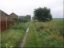
The houses are on the edge of Ordsall. The track is clearly used for the local fly tippers. The trees on the horizon to the right is Breck Plantation in the SE corner of this square.
|

|
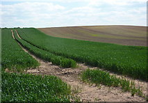
Open field south of Retford golf course
by Andrew Hill
A view across gently undulating farmland. The lower parts of the track were very sandy, it was like walking on a beach. The line of the footpath shown on the map was very hard to follow on the ground.
|

|
Farm track south of Retford
by JThomas
|

|
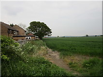
The south edge of Ordsall |

|
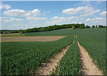
Open farmland towards Whisker Hill
by Andrew Hill
Looking along track lines in the cereal crop.
|

|
Drainage ditch south of Retford
by JThomas
|

|
Breck Plantation Ahead
by Neil Theasby
West of Eaton, Notts
|

|
Brecks Road
by Graham Hogg
Well, that's what it says on the OS map. Looks more like a drainage ditch now.
|
|
