Quick filters:
Political map of nevada Stock Photos and Images
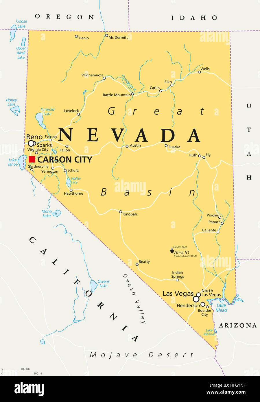 Nevada political map with capital Carson City. State in the Western, Mountain West and Southwestern regions of USA. Stock Photohttps://www.alamy.com/image-license-details/?v=1https://www.alamy.com/stock-photo-nevada-political-map-with-capital-carson-city-state-in-the-western-130065419.html
RFHFGYNF–Nevada political map with capital Carson City. State in the Western, Mountain West and Southwestern regions of USA.
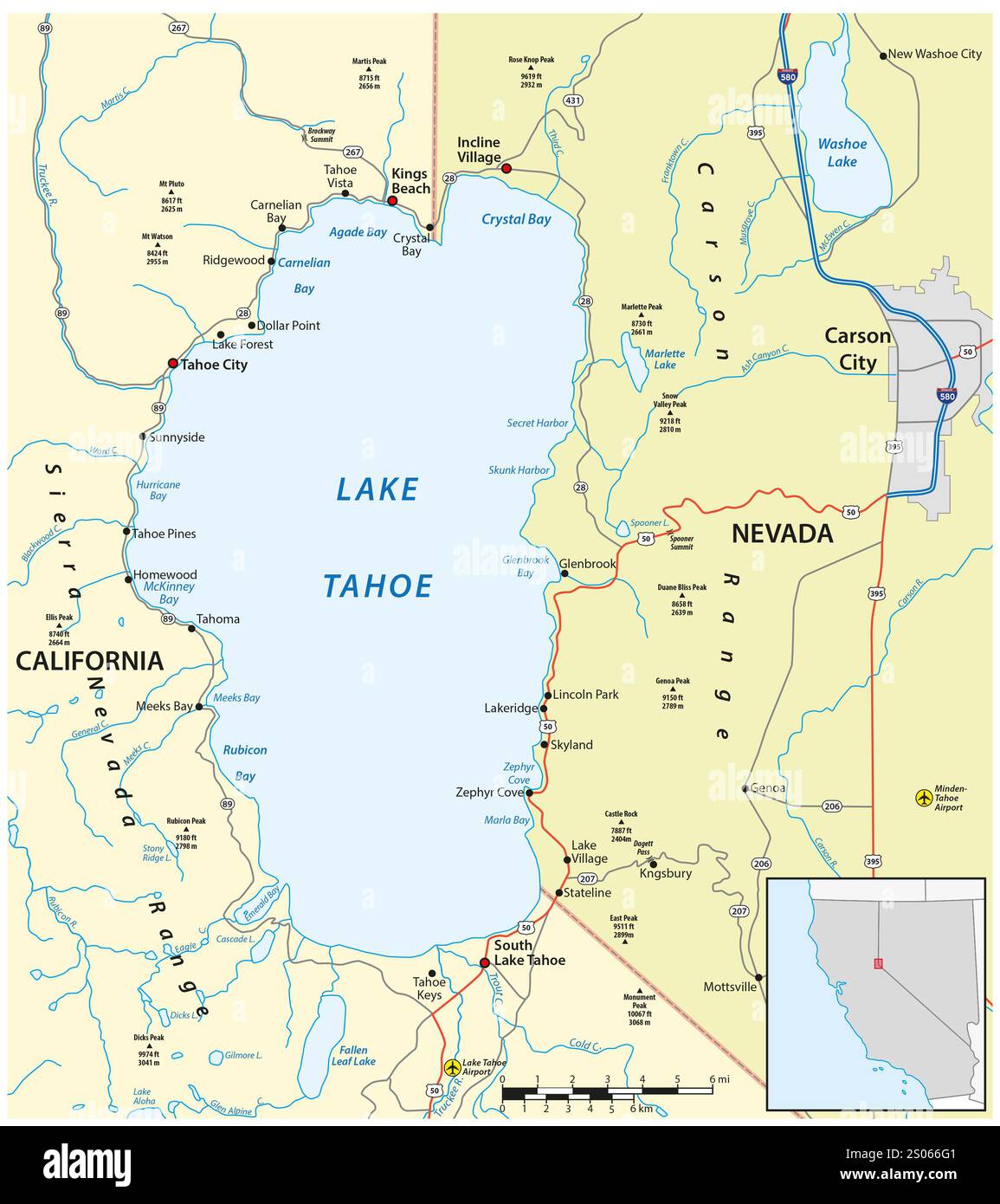 Map of Lake Tahoe, California, Nevada, USA Stock Photohttps://www.alamy.com/image-license-details/?v=1https://www.alamy.com/map-of-lake-tahoe-california-nevada-usa-image636920481.html
RF2S066G1–Map of Lake Tahoe, California, Nevada, USA
 Glasses on a map of USA - Nevada Stock Photohttps://www.alamy.com/image-license-details/?v=1https://www.alamy.com/stock-photo-glasses-on-a-map-of-usa-nevada-84985334.html
RFEX7BJE–Glasses on a map of USA - Nevada
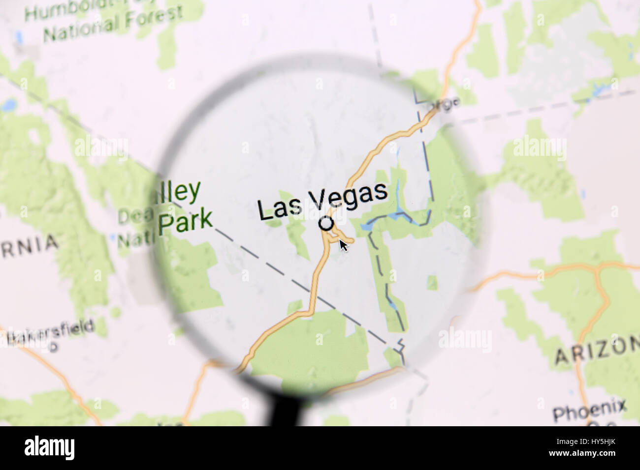 Las vegas map. Map of Las Vegas on Google Maps under a magnifying glass. Las Vegas is the most populated city in the state of Nevada. Stock Photohttps://www.alamy.com/image-license-details/?v=1https://www.alamy.com/stock-photo-las-vegas-map-map-of-las-vegas-on-google-maps-under-a-magnifying-glass-137191899.html
RFHY5HJK–Las vegas map. Map of Las Vegas on Google Maps under a magnifying glass. Las Vegas is the most populated city in the state of Nevada.
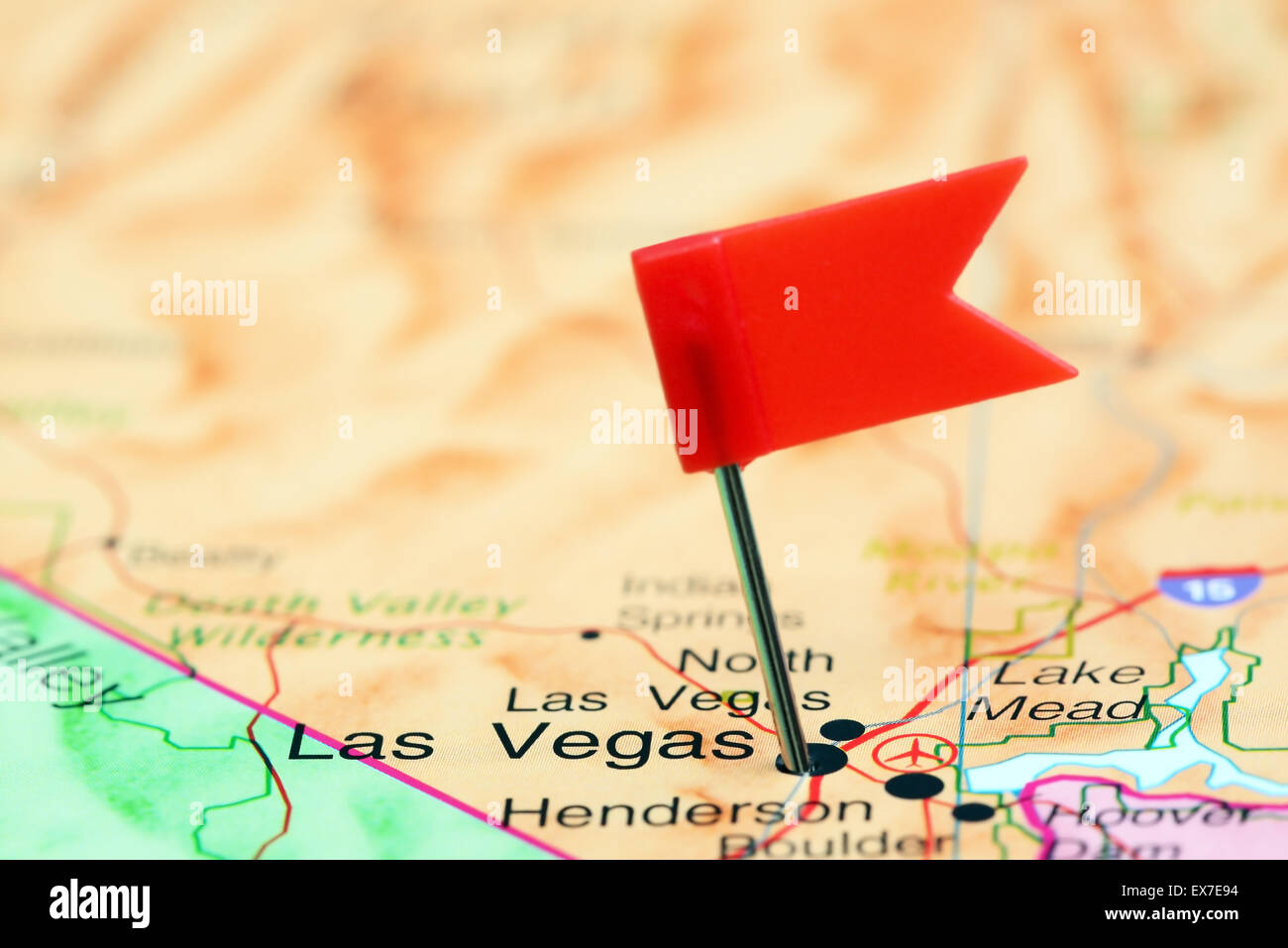 Las Vegas pinned on a map of USA Stock Photohttps://www.alamy.com/image-license-details/?v=1https://www.alamy.com/stock-photo-las-vegas-pinned-on-a-map-of-usa-84987424.html
RFEX7E94–Las Vegas pinned on a map of USA
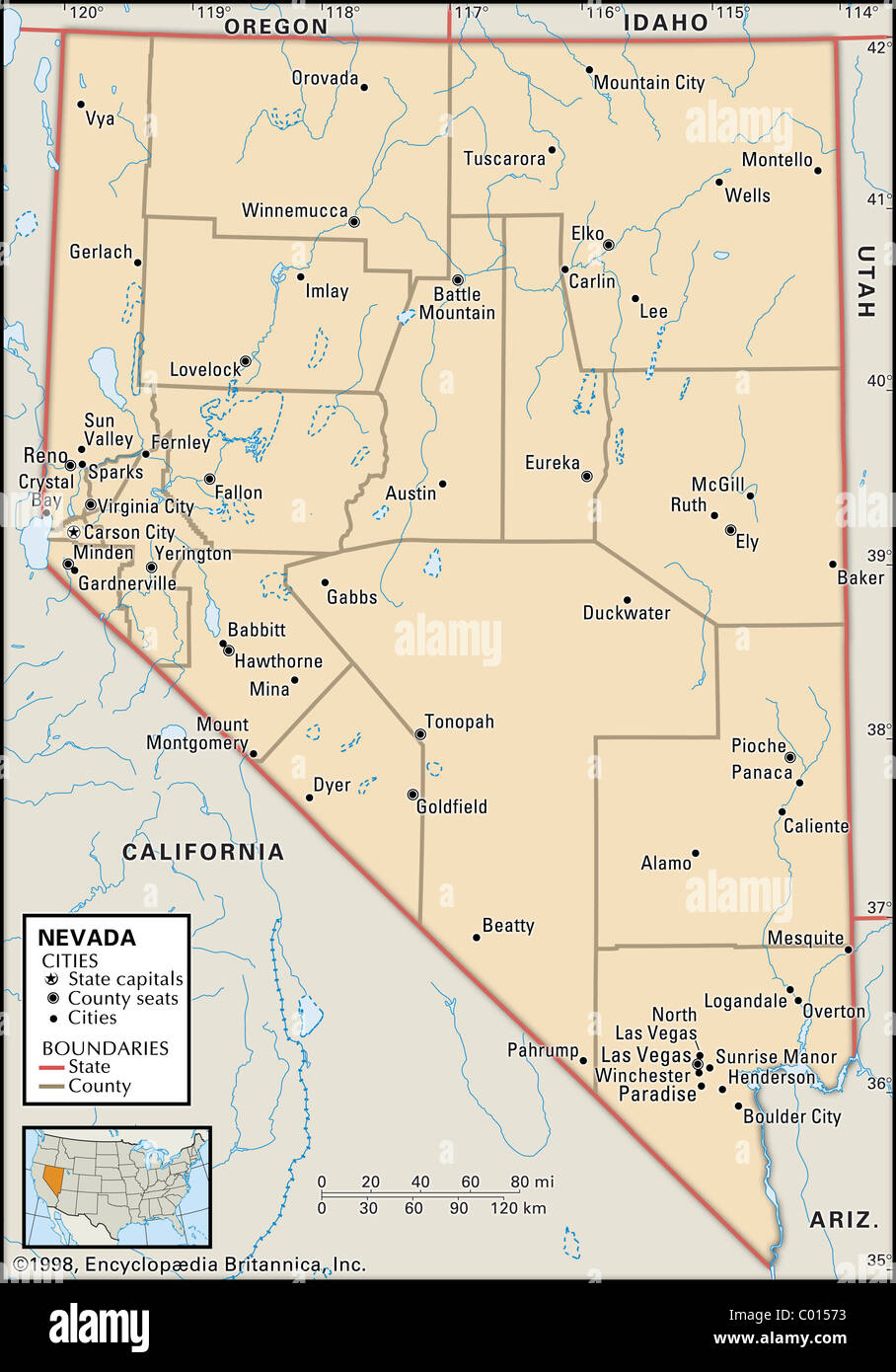 Political map of Nevada Stock Photohttps://www.alamy.com/image-license-details/?v=1https://www.alamy.com/stock-photo-political-map-of-nevada-34446807.html
RMC01573–Political map of Nevada
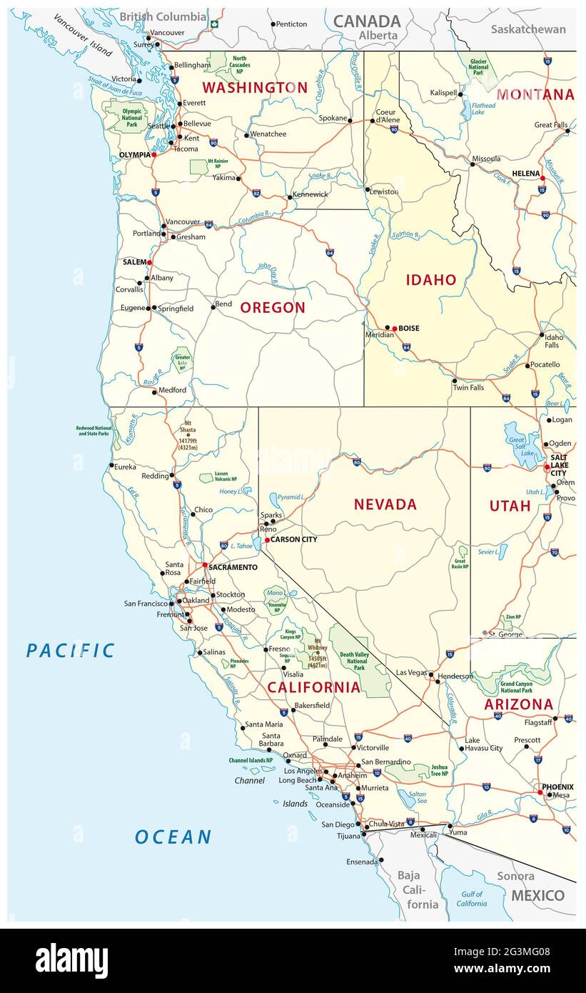 Roads, political and administrative map of the Western United States of America with National Parks Stock Photohttps://www.alamy.com/image-license-details/?v=1https://www.alamy.com/roads-political-and-administrative-map-of-the-western-united-states-of-america-with-national-parks-image432554760.html
RF2G3MG08–Roads, political and administrative map of the Western United States of America with National Parks
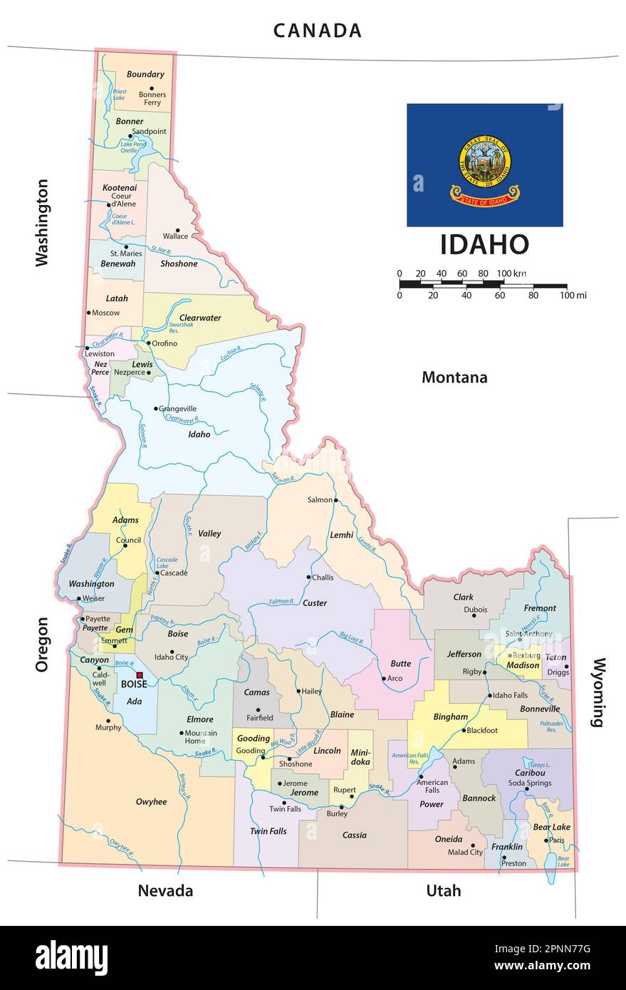 administrative vector map of the us american state of idaho Stock Photohttps://www.alamy.com/image-license-details/?v=1https://www.alamy.com/administrative-vector-map-of-the-us-american-state-of-idaho-image546895876.html
RF2PNN77G–administrative vector map of the us american state of idaho
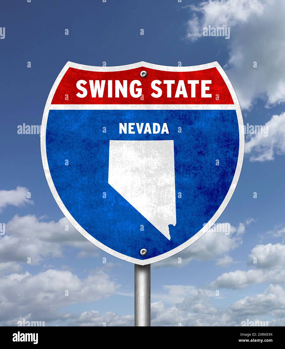 Swing State Nevada - traffic sign message Stock Photohttps://www.alamy.com/image-license-details/?v=1https://www.alamy.com/swing-state-nevada-traffic-sign-message-image616928310.html
RF2XRKE9X–Swing State Nevada - traffic sign message
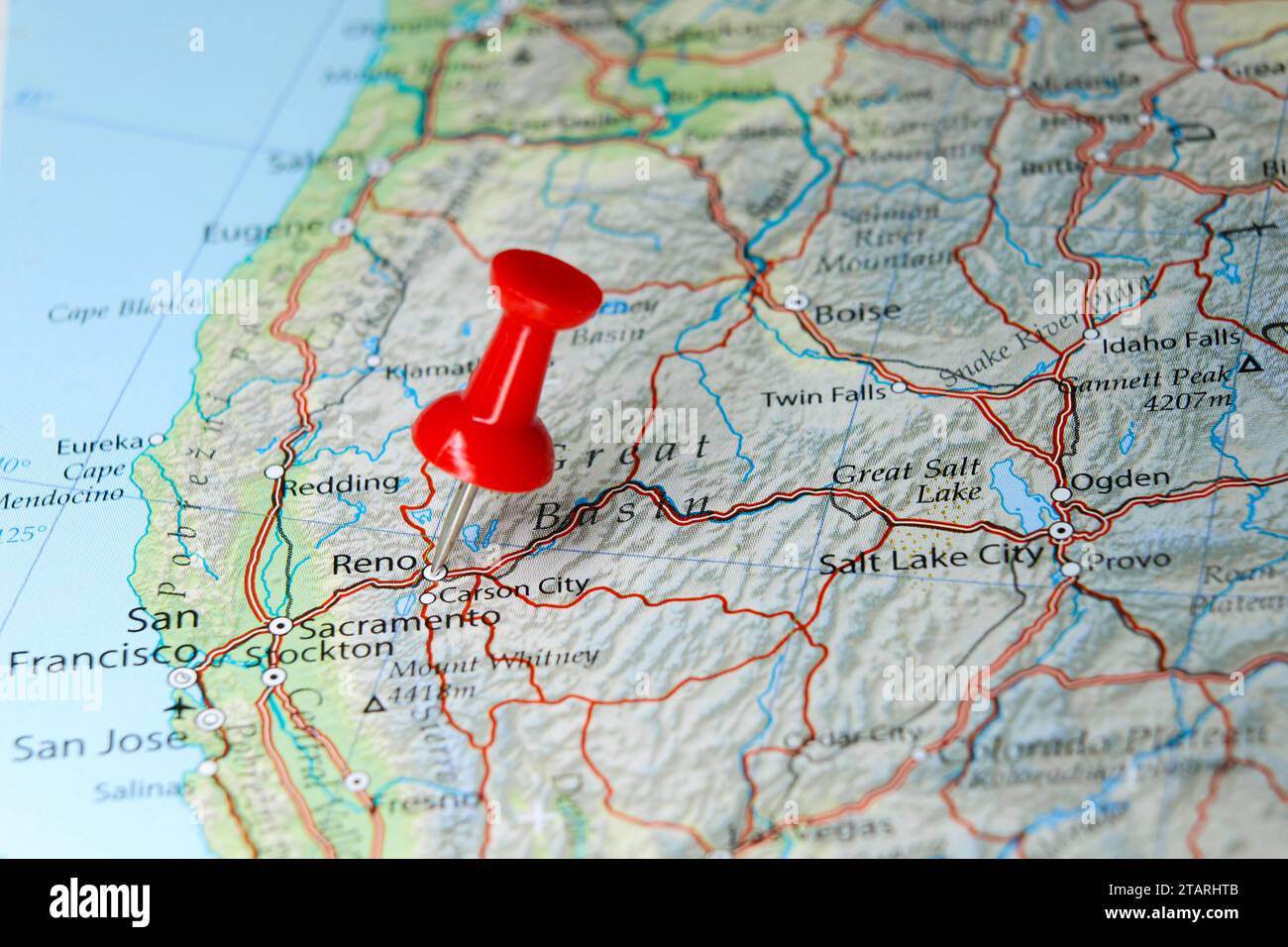 Reno, Nevada pin on map Stock Photohttps://www.alamy.com/image-license-details/?v=1https://www.alamy.com/reno-nevada-pin-on-map-image574607611.html
RF2TARHTB–Reno, Nevada pin on map
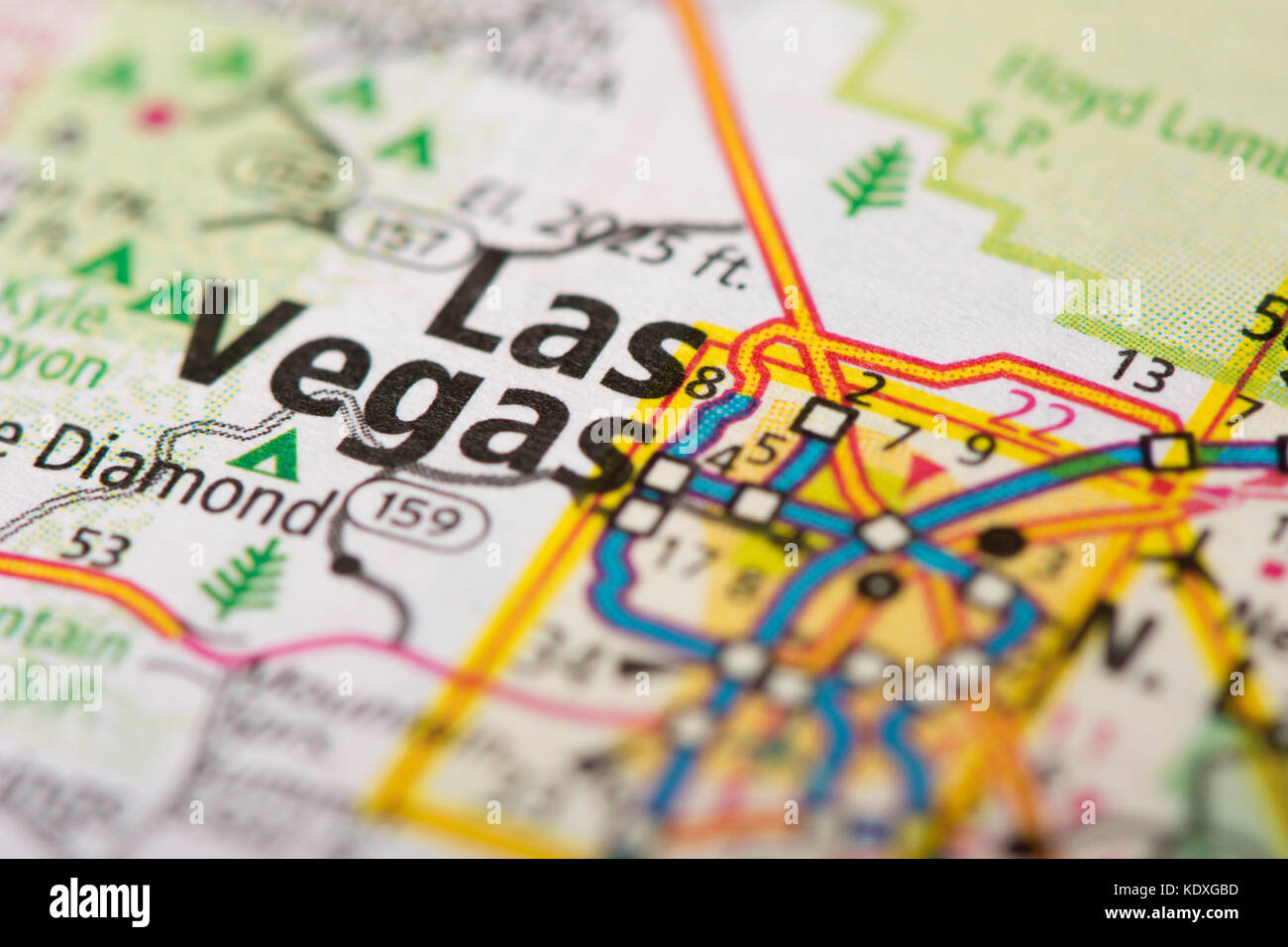 Closeup of Las Vegas, Nevada on a road map of the United States. Stock Photohttps://www.alamy.com/image-license-details/?v=1https://www.alamy.com/stock-image-closeup-of-las-vegas-nevada-on-a-road-map-of-the-united-states-163467457.html
RFKDXGBD–Closeup of Las Vegas, Nevada on a road map of the United States.
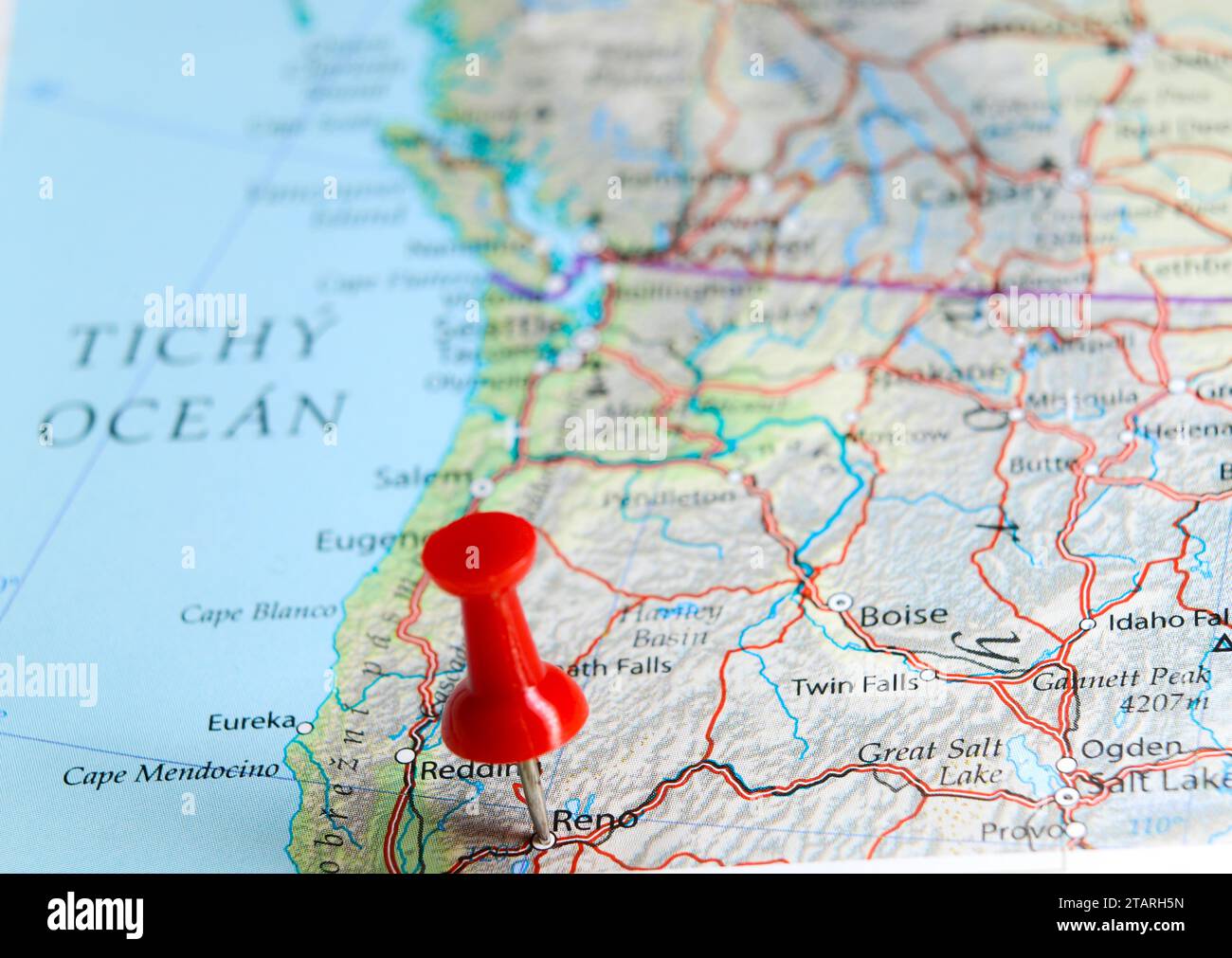 Reno, Nevada pin on map Stock Photohttps://www.alamy.com/image-license-details/?v=1https://www.alamy.com/reno-nevada-pin-on-map-image574607089.html
RF2TARH5N–Reno, Nevada pin on map
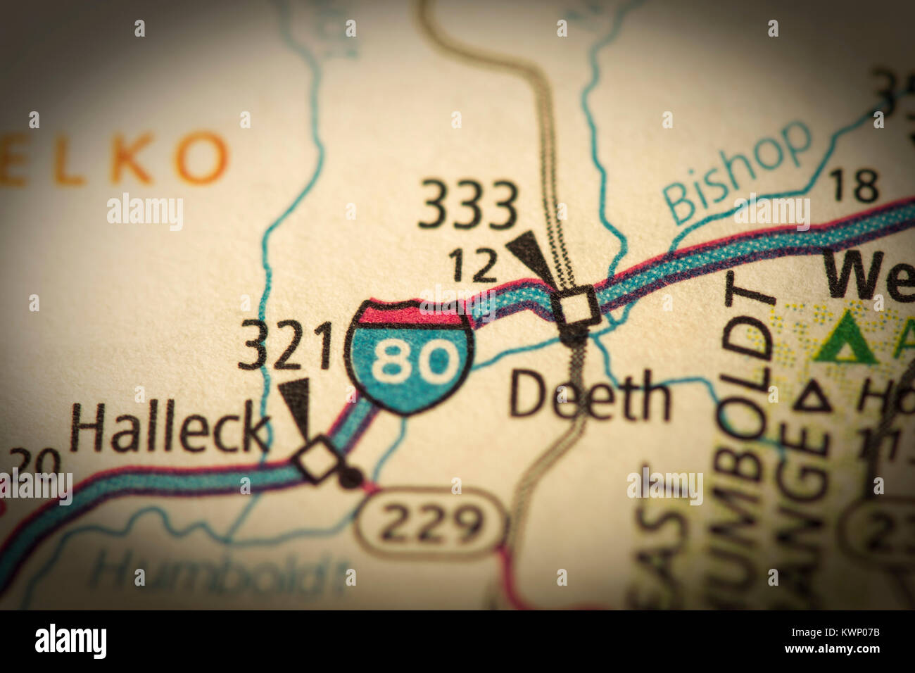 Closeup of Interstate 80 in Nevada on a road map of the United States. Stock Photohttps://www.alamy.com/image-license-details/?v=1https://www.alamy.com/stock-photo-closeup-of-interstate-80-in-nevada-on-a-road-map-of-the-united-states-170742863.html
RFKWP07B–Closeup of Interstate 80 in Nevada on a road map of the United States.
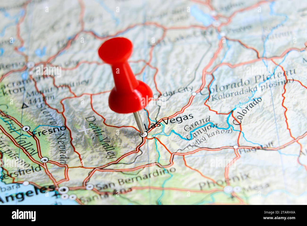 Las Vegas, Nevada pin on map Stock Photohttps://www.alamy.com/image-license-details/?v=1https://www.alamy.com/las-vegas-nevada-pin-on-map-image574607666.html
RF2TARHXA–Las Vegas, Nevada pin on map
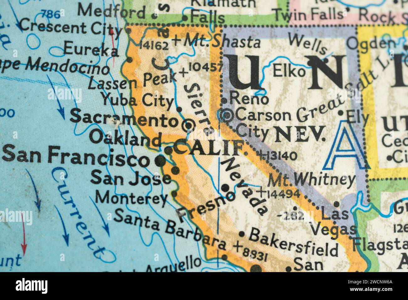 Map of California and Nevada from 1976 Globe Stock Photohttps://www.alamy.com/image-license-details/?v=1https://www.alamy.com/map-of-california-and-nevada-from-1976-globe-image593009154.html
RF2WCNW6A–Map of California and Nevada from 1976 Globe
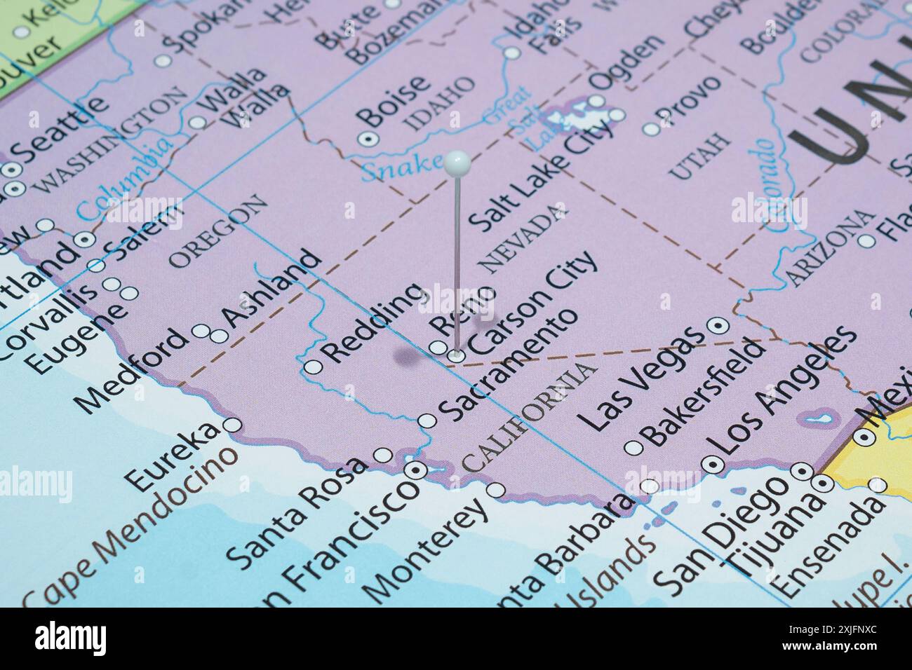 Close up to a Carson city with a white pin needle into United States of America country political map Stock Photohttps://www.alamy.com/image-license-details/?v=1https://www.alamy.com/close-up-to-a-carson-city-with-a-white-pin-needle-into-united-states-of-america-country-political-map-image613773172.html
RF2XJFNXC–Close up to a Carson city with a white pin needle into United States of America country political map
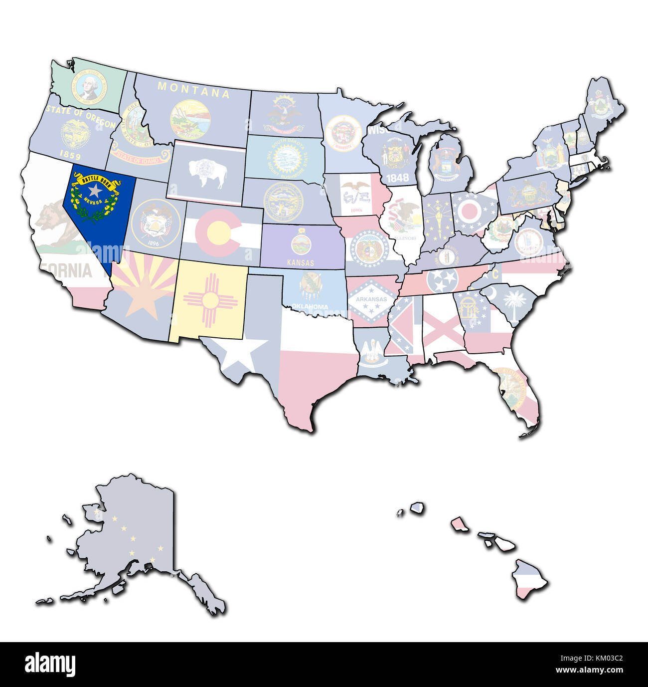 nevada on isolated map of united states of america with state borders Stock Photohttps://www.alamy.com/image-license-details/?v=1https://www.alamy.com/stock-image-nevada-on-isolated-map-of-united-states-of-america-with-state-borders-167189122.html
RFKM03C2–nevada on isolated map of united states of america with state borders
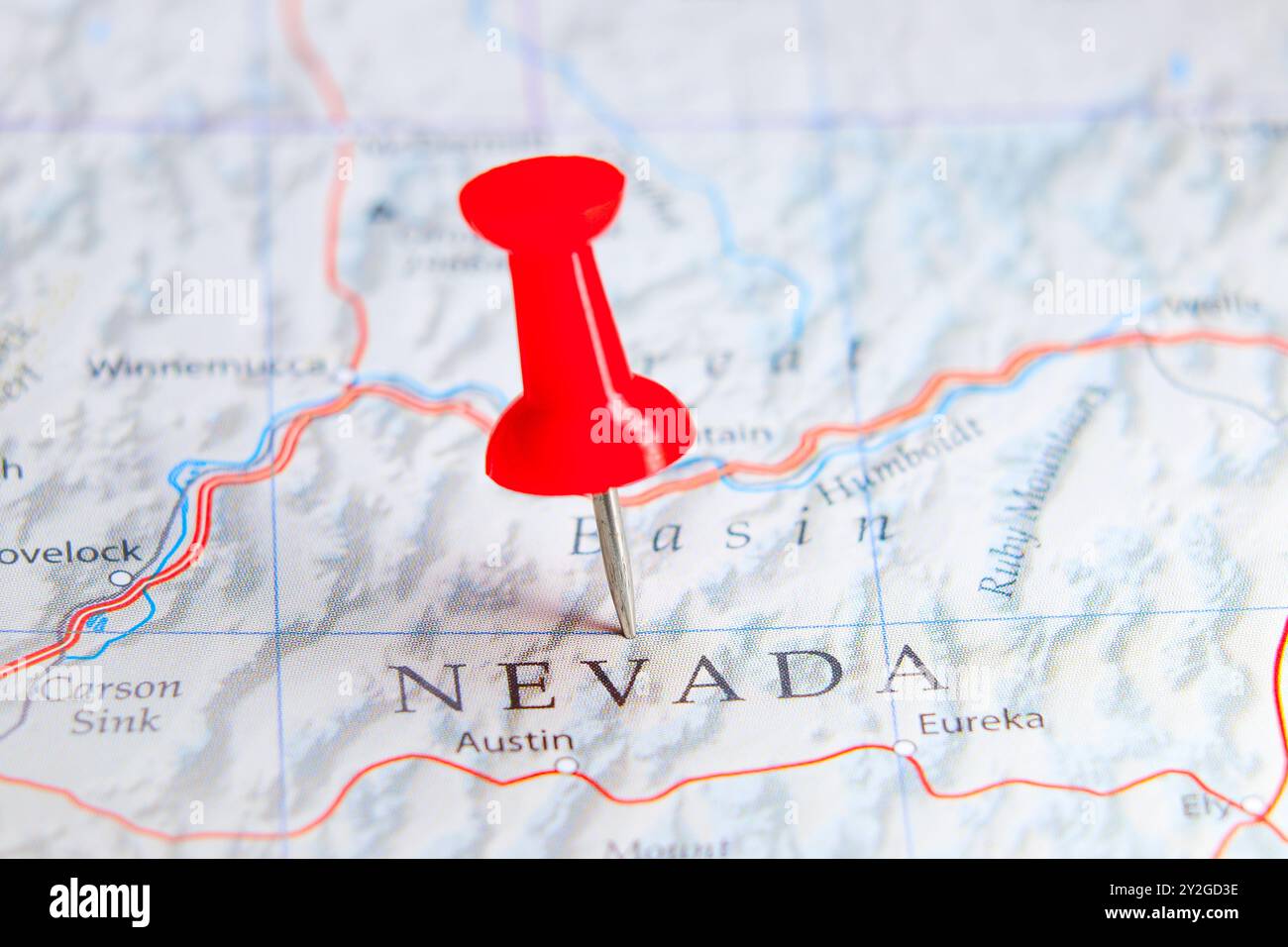 Nevada state, USA pin on map Stock Photohttps://www.alamy.com/image-license-details/?v=1https://www.alamy.com/nevada-state-usa-pin-on-map-image621164082.html
RF2Y2GD3E–Nevada state, USA pin on map
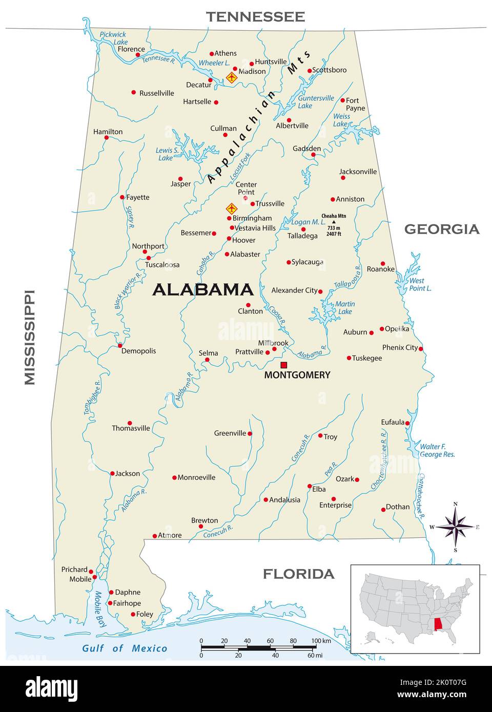 Highly detailed physical map of the US state of Alabama Stock Photohttps://www.alamy.com/image-license-details/?v=1https://www.alamy.com/highly-detailed-physical-map-of-the-us-state-of-alabama-image482417364.html
RF2K0T07G–Highly detailed physical map of the US state of Alabama
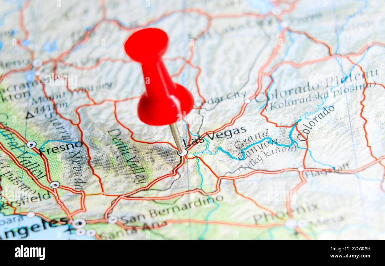 Las Vegas, Nevada pin on map of USA. Stock Photohttps://www.alamy.com/image-license-details/?v=1https://www.alamy.com/las-vegas-nevada-pin-on-map-of-usa-image621172149.html
RF2Y2GRBH–Las Vegas, Nevada pin on map of USA.
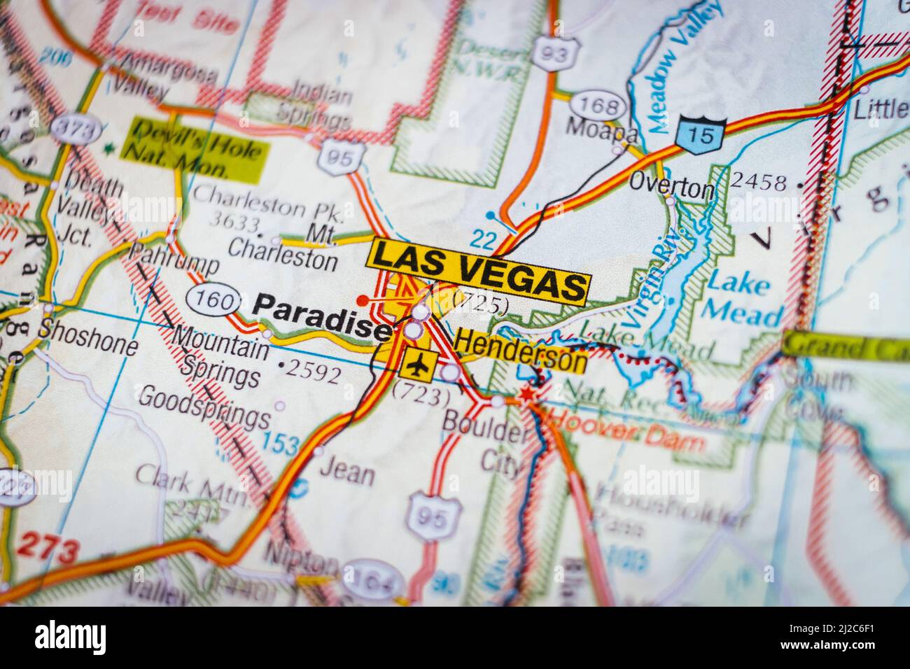 Geographical view of Las Vegas, Paradise and nearby places. Location of cities and towns of USA Stock Photohttps://www.alamy.com/image-license-details/?v=1https://www.alamy.com/geographical-view-of-las-vegas-paradise-and-nearby-places-location-of-cities-and-towns-of-usa-image466177797.html
RF2J2C6F1–Geographical view of Las Vegas, Paradise and nearby places. Location of cities and towns of USA
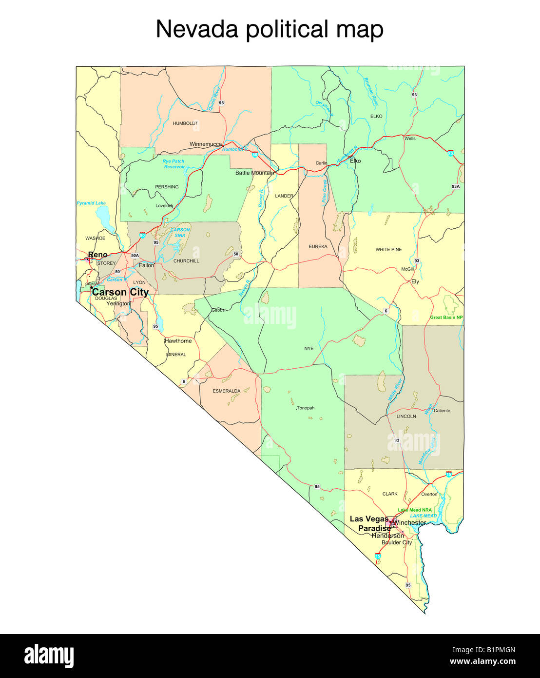 Nevada state political map Stock Photohttps://www.alamy.com/image-license-details/?v=1https://www.alamy.com/stock-photo-nevada-state-political-map-18324117.html
RFB1PMGN–Nevada state political map
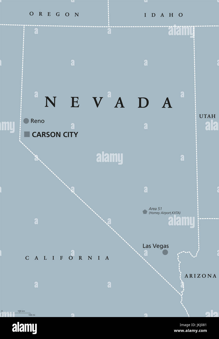 Nevada political map with Las Vegas, Reno and capital Carson City. State in the Western, Mountain West, and Southwestern regions of the United States. Stock Photohttps://www.alamy.com/image-license-details/?v=1https://www.alamy.com/stock-photo-nevada-political-map-with-las-vegas-reno-and-capital-carson-city-state-149756769.html
RFJKJ081–Nevada political map with Las Vegas, Reno and capital Carson City. State in the Western, Mountain West, and Southwestern regions of the United States.
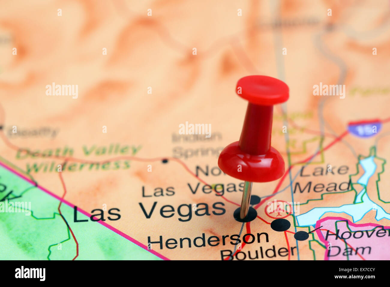 Las Vegas pinned on a map of USA Stock Photohttps://www.alamy.com/image-license-details/?v=1https://www.alamy.com/stock-photo-las-vegas-pinned-on-a-map-of-usa-84985963.html
RFEX7CCY–Las Vegas pinned on a map of USA
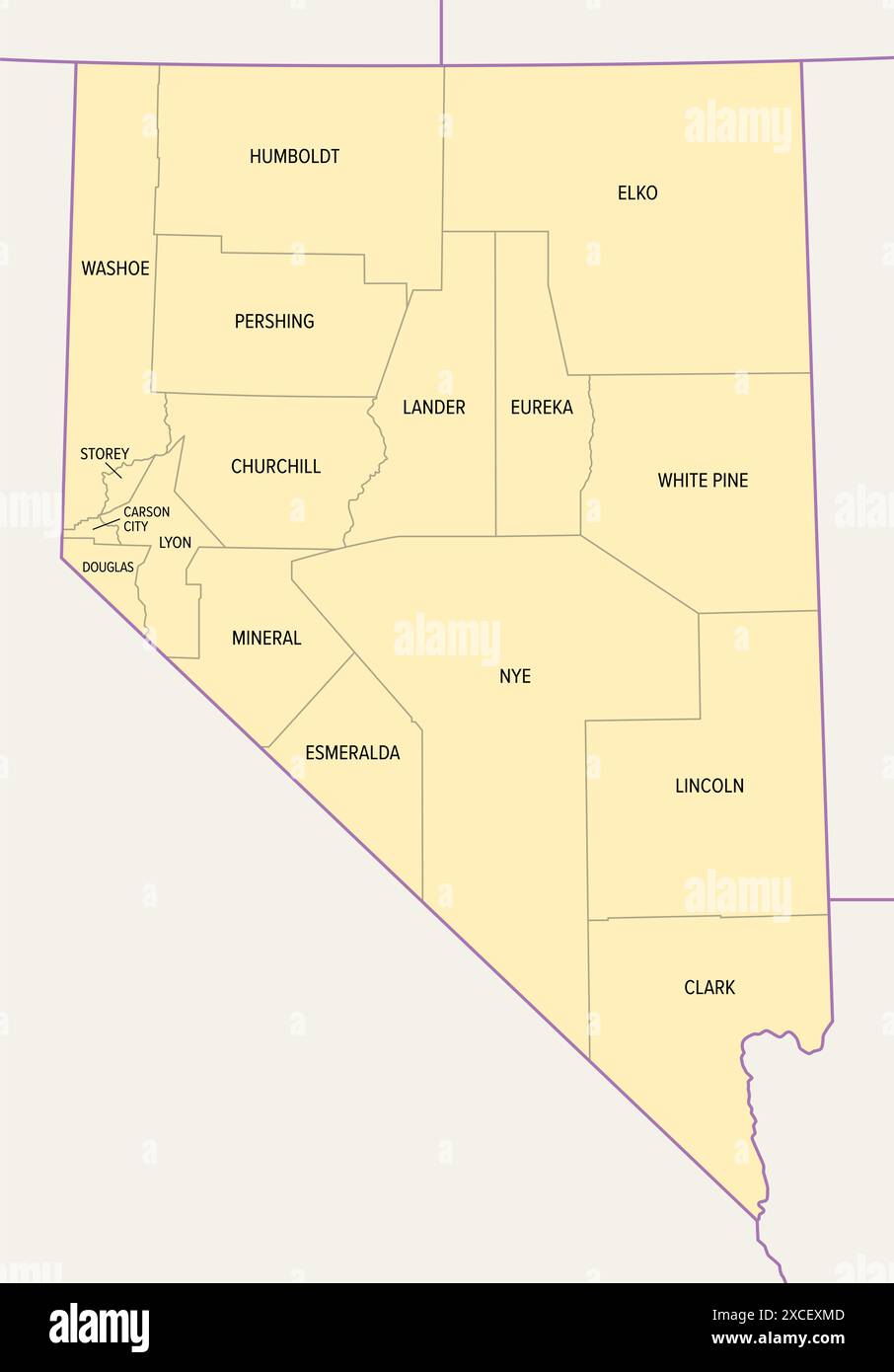 Nevada state counties, political map. Landlocked state in the Western region of United States, subdivided into 16 counties and 1 independent city. Stock Photohttps://www.alamy.com/image-license-details/?v=1https://www.alamy.com/nevada-state-counties-political-map-landlocked-state-in-the-western-region-of-united-states-subdivided-into-16-counties-and-1-independent-city-image610067037.html
RF2XCEXMD–Nevada state counties, political map. Landlocked state in the Western region of United States, subdivided into 16 counties and 1 independent city.
 Map of Nevada, colorful background, copy space Stock Photohttps://www.alamy.com/image-license-details/?v=1https://www.alamy.com/map-of-nevada-colorful-background-copy-space-image409803661.html
RF2EPM4N1–Map of Nevada, colorful background, copy space
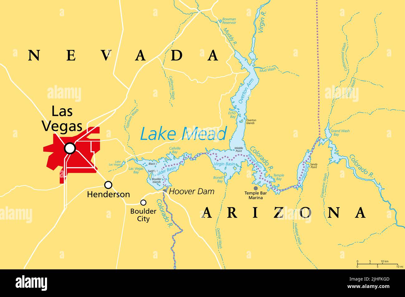 Las Vegas and Lake Mead, political map. Vegas, most populous city in Nevada, known primarily for its gambling and entertainment, left of Lake Mead. Stock Photohttps://www.alamy.com/image-license-details/?v=1https://www.alamy.com/las-vegas-and-lake-mead-political-map-vegas-most-populous-city-in-nevada-known-primarily-for-its-gambling-and-entertainment-left-of-lake-mead-image475473725.html
RF2JHFKGD–Las Vegas and Lake Mead, political map. Vegas, most populous city in Nevada, known primarily for its gambling and entertainment, left of Lake Mead.
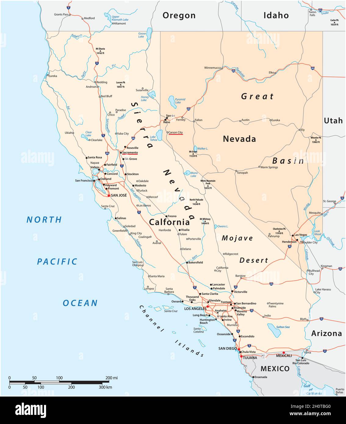 Vector road map of US states California and Nevada Stock Vectorhttps://www.alamy.com/image-license-details/?v=1https://www.alamy.com/vector-road-map-of-us-states-california-and-nevada-image448005488.html
RF2H0TBG0–Vector road map of US states California and Nevada
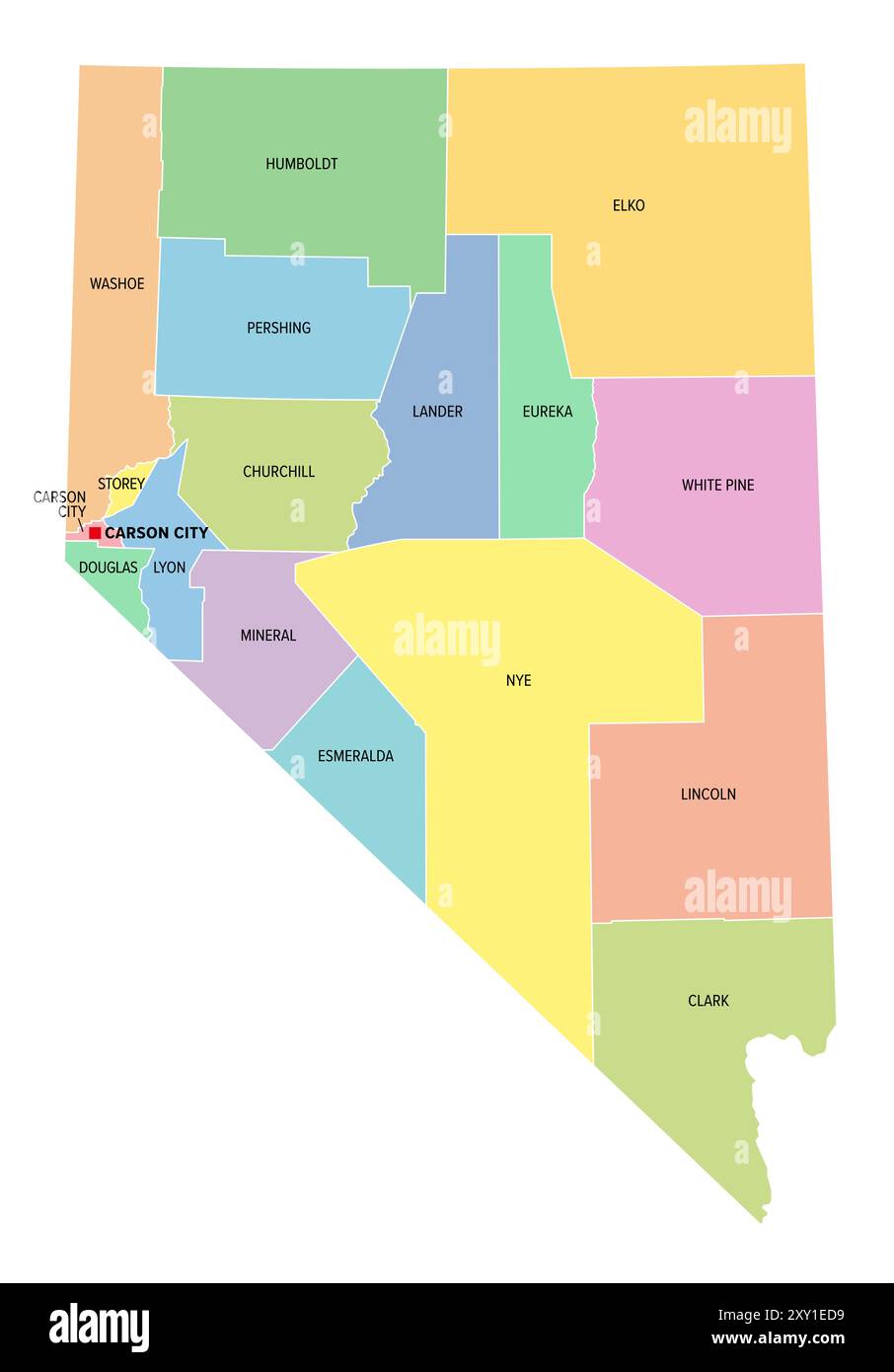 Nevada, U.S. state, colored political map with borders and counties. State in the Western region of USA, subdivided into 16 counties and Carson City. Stock Photohttps://www.alamy.com/image-license-details/?v=1https://www.alamy.com/nevada-us-state-colored-political-map-with-borders-and-counties-state-in-the-western-region-of-usa-subdivided-into-16-counties-and-carson-city-image618991893.html
RF2XY1ED9–Nevada, U.S. state, colored political map with borders and counties. State in the Western region of USA, subdivided into 16 counties and Carson City.
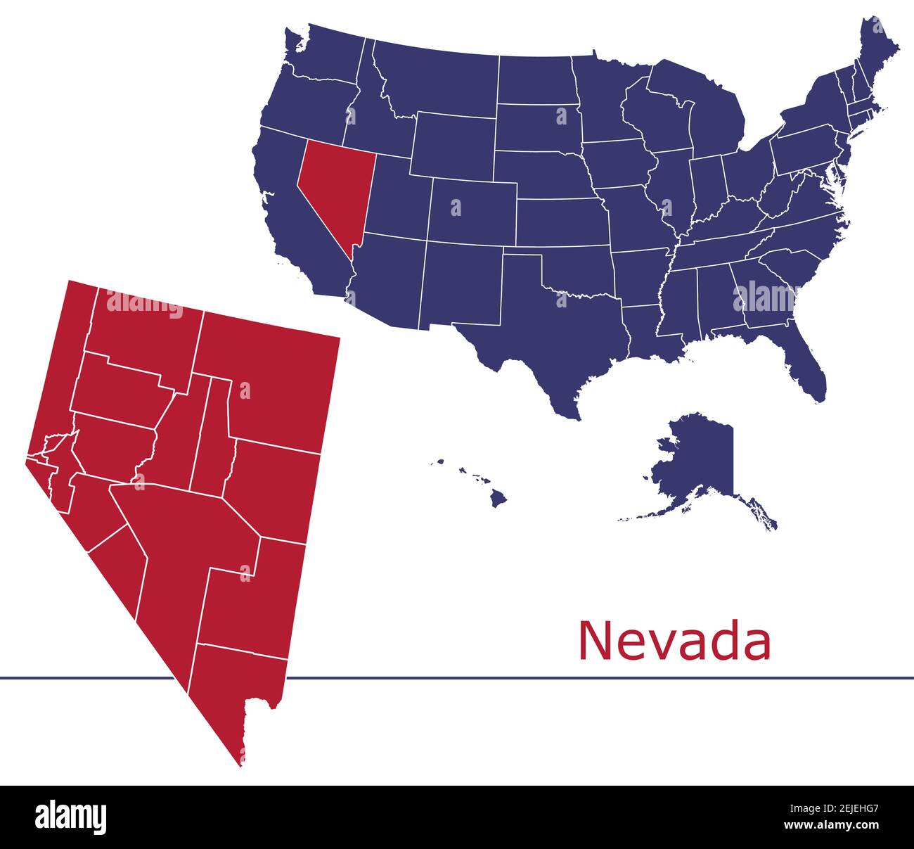 Nevada counties vector map outline with USA map colors national flag Stock Vectorhttps://www.alamy.com/image-license-details/?v=1https://www.alamy.com/nevada-counties-vector-map-outline-with-usa-map-colors-national-flag-image407223383.html
RF2EJEHG7–Nevada counties vector map outline with USA map colors national flag
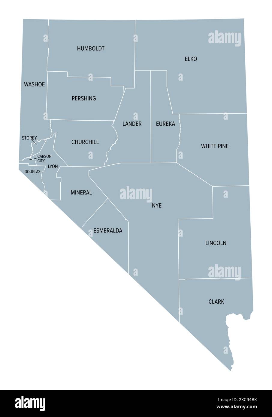 Nevada state counties, gray political map. Landlocked state in the Western region of the United States. Stock Photohttps://www.alamy.com/image-license-details/?v=1https://www.alamy.com/nevada-state-counties-gray-political-map-landlocked-state-in-the-western-region-of-the-united-states-image610247111.html
RF2XCR4BK–Nevada state counties, gray political map. Landlocked state in the Western region of the United States.
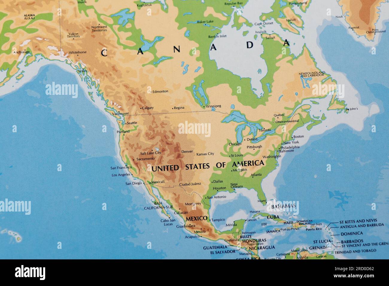 world map of north america continent with united states of america, canada and mexico with all border lines Stock Photohttps://www.alamy.com/image-license-details/?v=1https://www.alamy.com/world-map-of-north-america-continent-with-united-states-of-america-canada-and-mexico-with-all-border-lines-image558732666.html
RF2RD0D62–world map of north america continent with united states of america, canada and mexico with all border lines
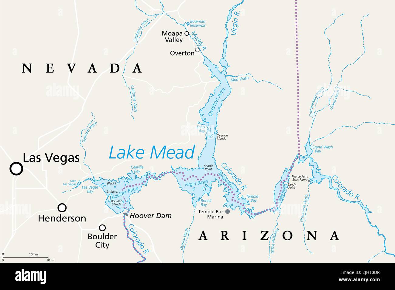 Lake Mead, largest reservoir in the US, political map. Formed by the Hoover Dam on the Colorado River in the Southwestern United States. Stock Photohttps://www.alamy.com/image-license-details/?v=1https://www.alamy.com/lake-mead-largest-reservoir-in-the-us-political-map-formed-by-the-hoover-dam-on-the-colorado-river-in-the-southwestern-united-states-image475656323.html
RF2JHT0DR–Lake Mead, largest reservoir in the US, political map. Formed by the Hoover Dam on the Colorado River in the Southwestern United States.
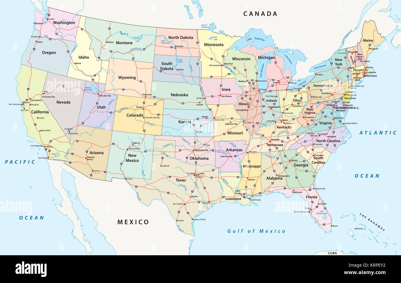 us interstate highway, administrative and political vector map Stock Vectorhttps://www.alamy.com/image-license-details/?v=1https://www.alamy.com/stock-image-us-interstate-highway-administrative-and-political-vector-map-169525078.html
RFKRPEY2–us interstate highway, administrative and political vector map
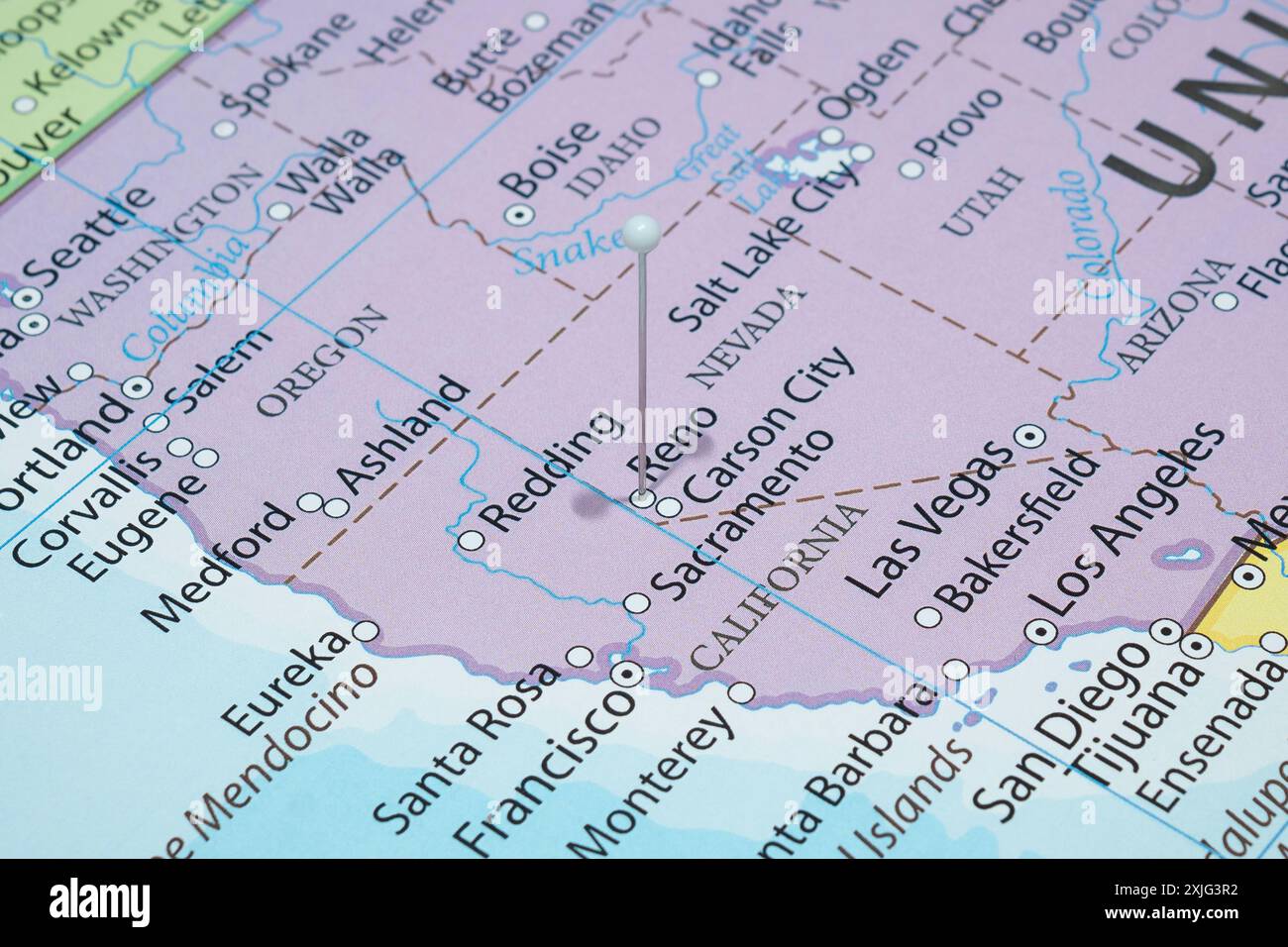 Close up to a Reno city with a white pin needle into United States of America country political map Stock Photohttps://www.alamy.com/image-license-details/?v=1https://www.alamy.com/close-up-to-a-reno-city-with-a-white-pin-needle-into-united-states-of-america-country-political-map-image613780918.html
RF2XJG3R2–Close up to a Reno city with a white pin needle into United States of America country political map
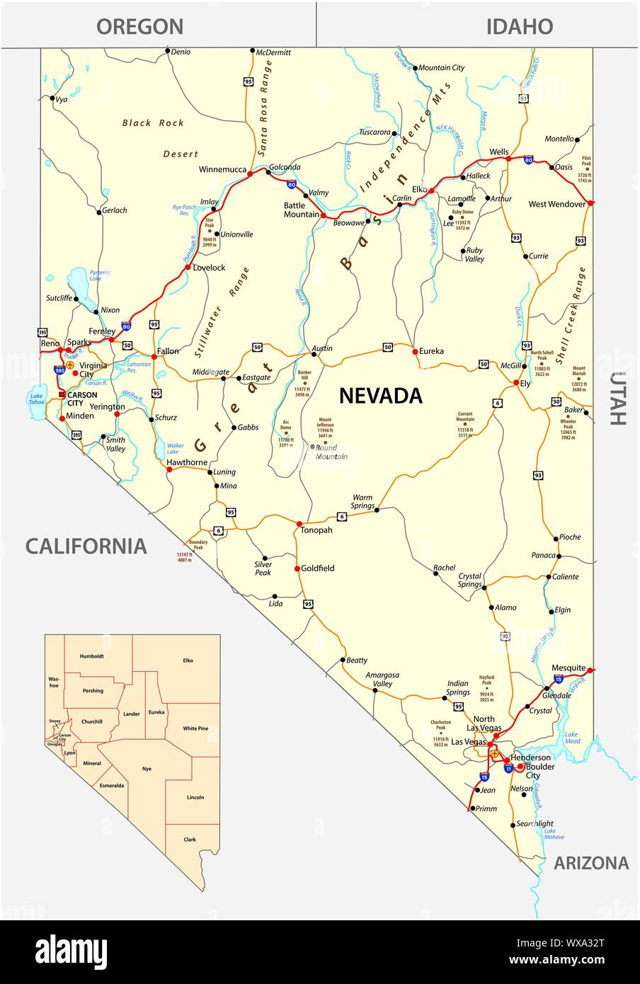 Nevada streets and administrative map with interstate US highways and main roads Stock Vectorhttps://www.alamy.com/image-license-details/?v=1https://www.alamy.com/nevada-streets-and-administrative-map-with-interstate-us-highways-and-main-roads-image274358528.html
RFWXA32T–Nevada streets and administrative map with interstate US highways and main roads
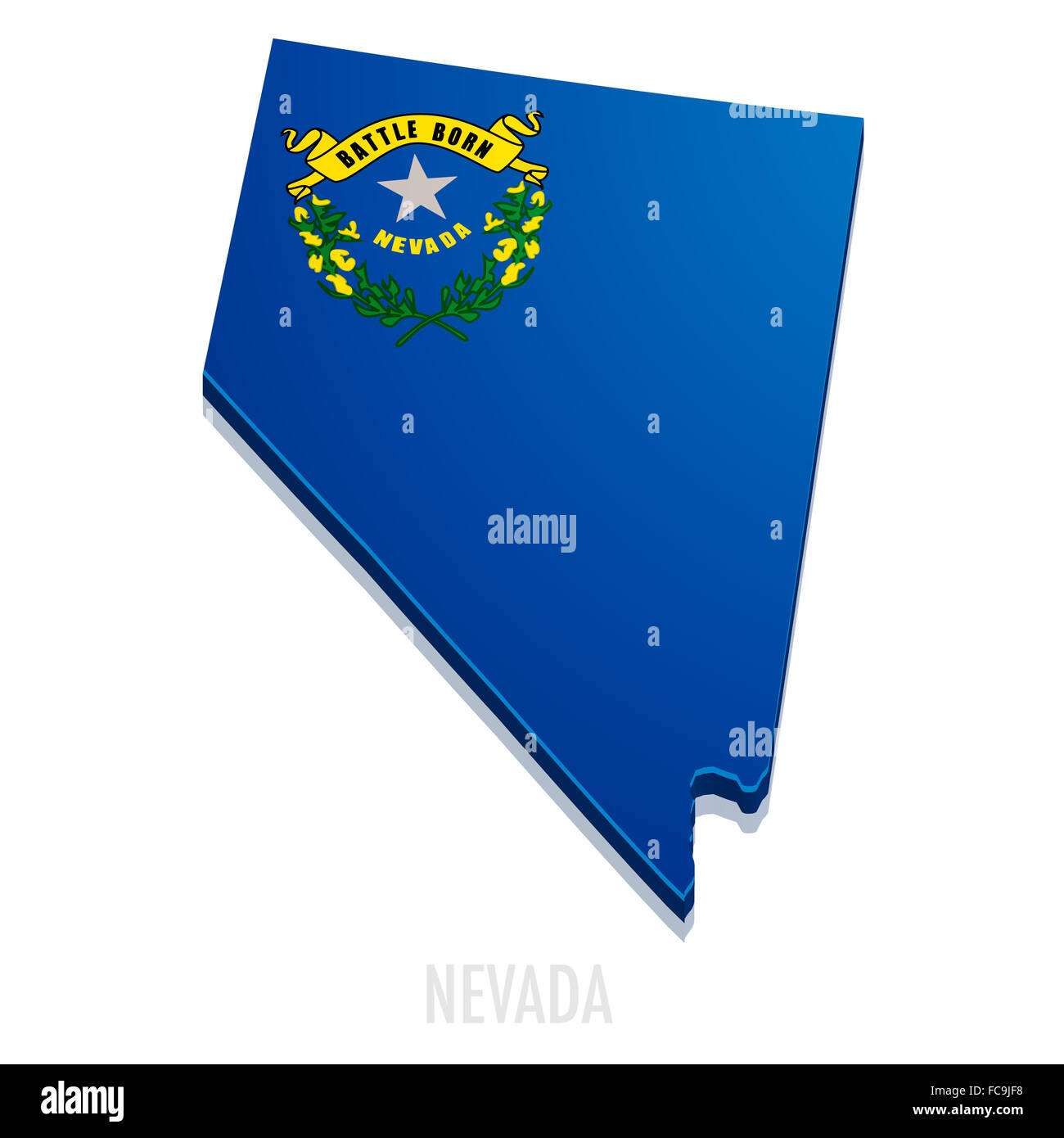 Map Nevada Stock Photohttps://www.alamy.com/image-license-details/?v=1https://www.alamy.com/stock-photo-map-nevada-93639820.html
RFFC9JF8–Map Nevada
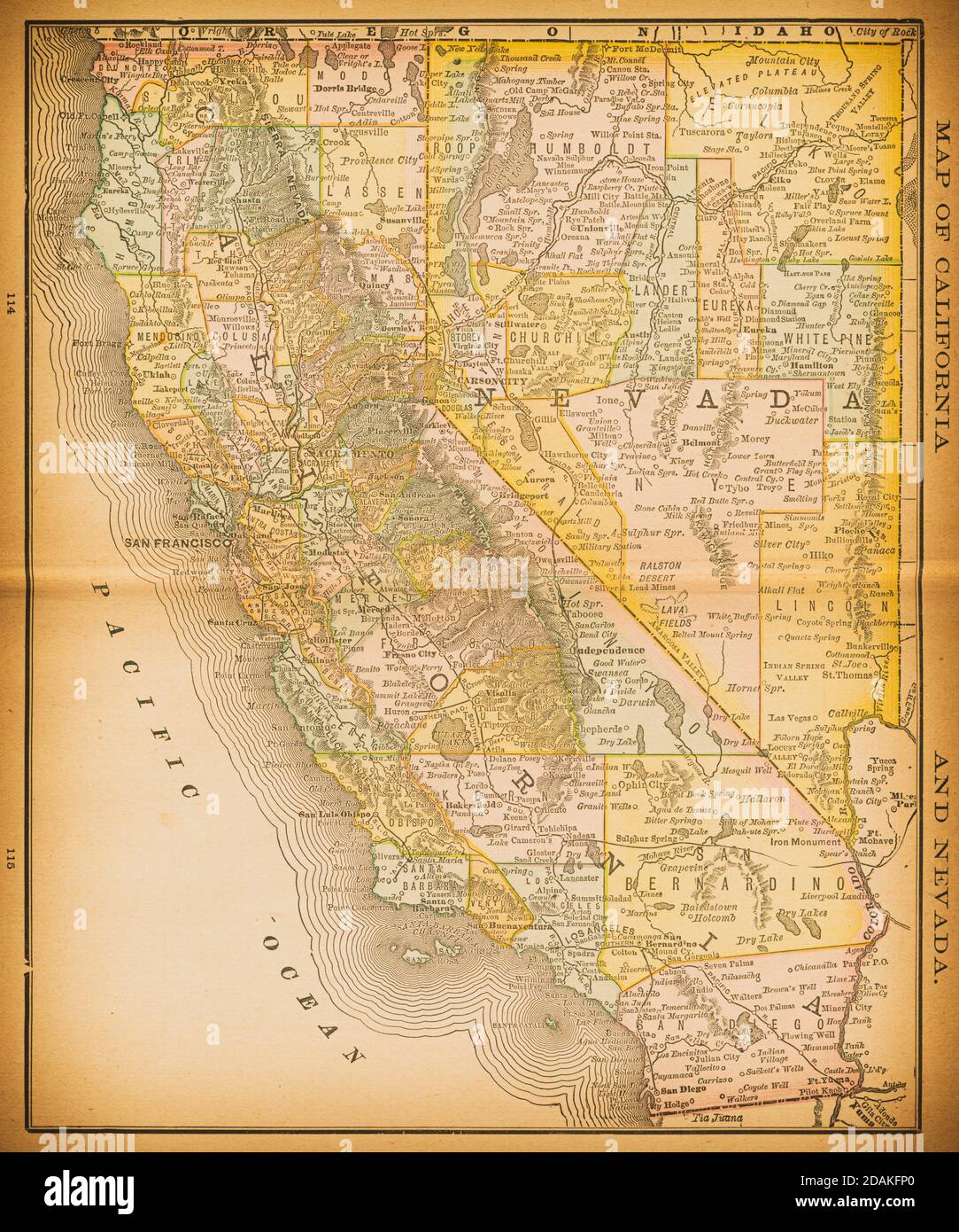 19th century map of California and Nevada. Published in New Dollar Atlas of the United States and Dominion of Canada. (Rand McNally & Co's, Chicago, 1 Stock Photohttps://www.alamy.com/image-license-details/?v=1https://www.alamy.com/19th-century-map-of-california-and-nevada-published-in-new-dollar-atlas-of-the-united-states-and-dominion-of-canada-rand-mcnally-cos-chicago-1-image385204120.html
RF2DAKFP0–19th century map of California and Nevada. Published in New Dollar Atlas of the United States and Dominion of Canada. (Rand McNally & Co's, Chicago, 1
 Shallow depth of field focus on geographical map location of Las Vegas city United States of America USA continent on atlas Stock Photohttps://www.alamy.com/image-license-details/?v=1https://www.alamy.com/shallow-depth-of-field-focus-on-geographical-map-location-of-las-vegas-city-united-states-of-america-usa-continent-on-atlas-image360185918.html
RF2BWYTPP–Shallow depth of field focus on geographical map location of Las Vegas city United States of America USA continent on atlas
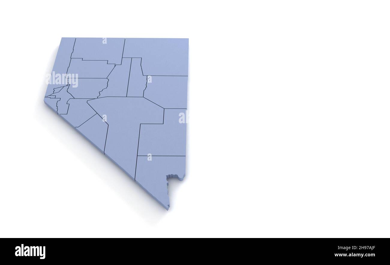 Nevada State Map 3d. State 3D rendering set in the United States. Stock Photohttps://www.alamy.com/image-license-details/?v=1https://www.alamy.com/nevada-state-map-3d-state-3d-rendering-set-in-the-united-states-image453163495.html
RF2H97AJF–Nevada State Map 3d. State 3D rendering set in the United States.
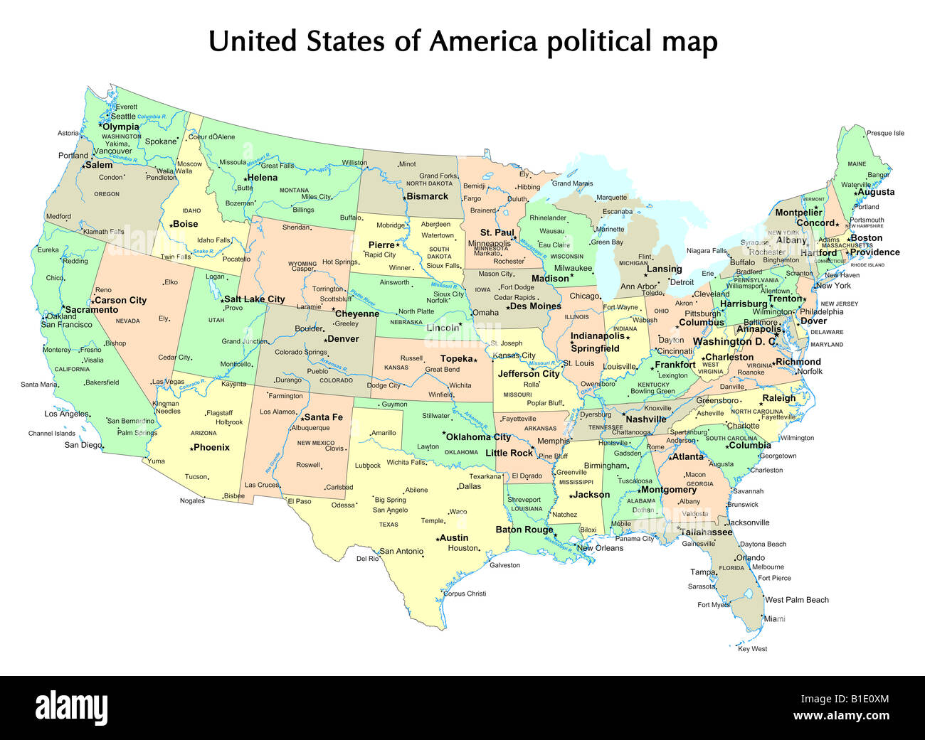 United States of America political map with states and capital city Stock Photohttps://www.alamy.com/image-license-details/?v=1https://www.alamy.com/stock-photo-united-states-of-america-political-map-with-states-and-capital-city-18133100.html
RFB1E0XM–United States of America political map with states and capital city
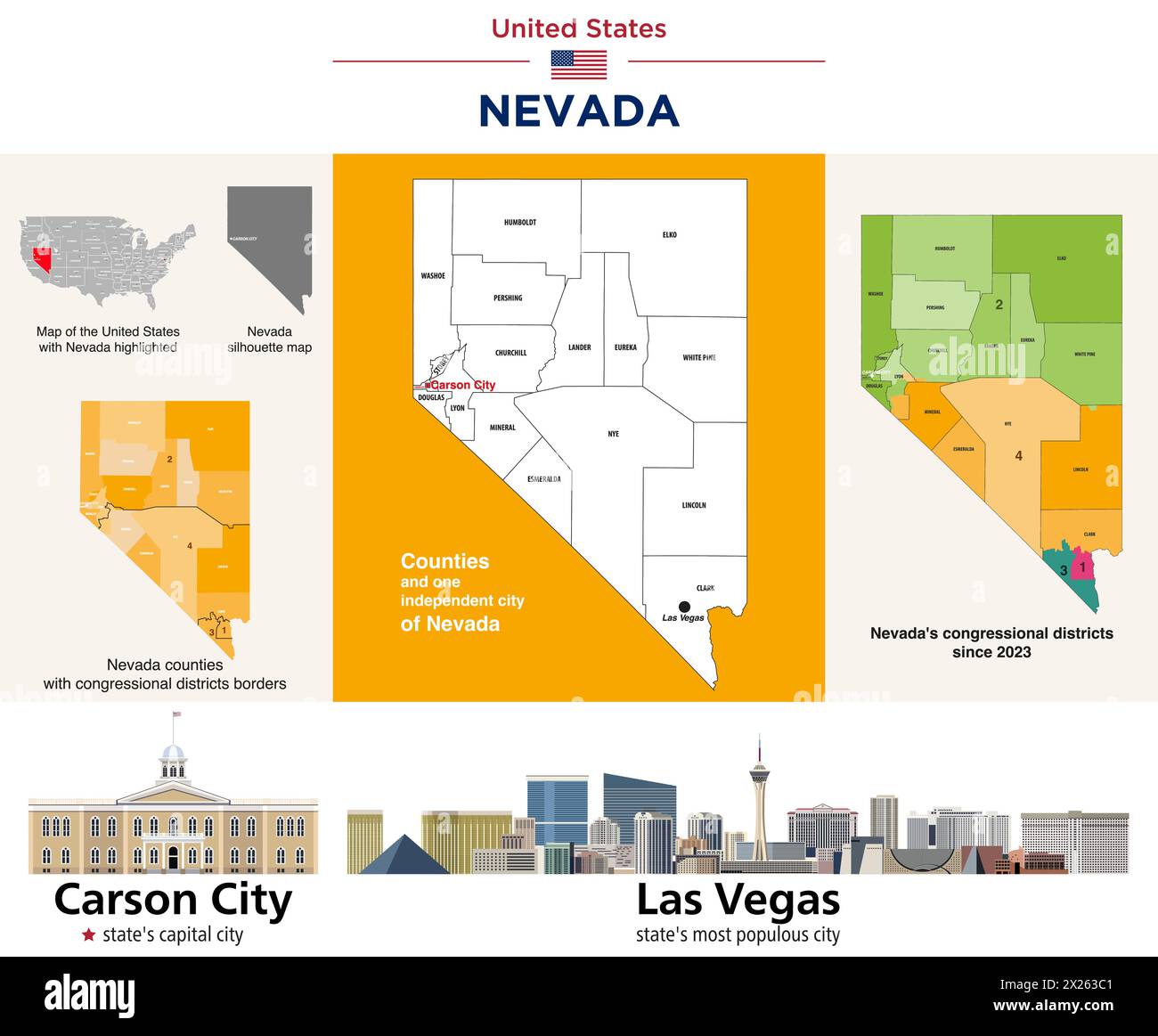 Nevada counties map and congressional districts since 2023 map. Carson City (state's capital city) and Las Vegas (state's most populous city) skylines Stock Vectorhttps://www.alamy.com/image-license-details/?v=1https://www.alamy.com/nevada-counties-map-and-congressional-districts-since-2023-map-carson-city-states-capital-city-and-las-vegas-states-most-populous-city-skylines-image603726593.html
RF2X263C1–Nevada counties map and congressional districts since 2023 map. Carson City (state's capital city) and Las Vegas (state's most populous city) skylines
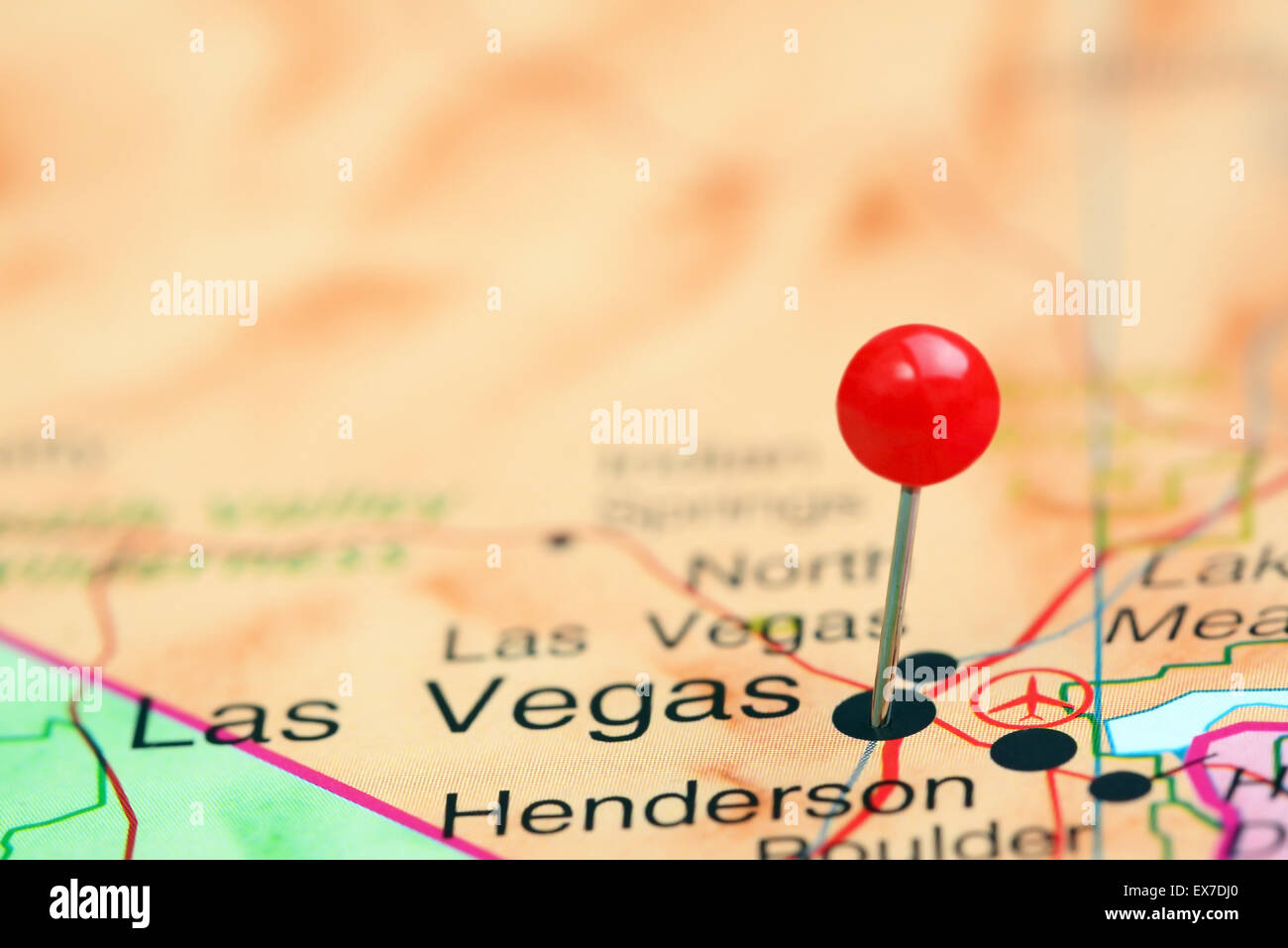 Las Vegas pinned on a map of USA Stock Photohttps://www.alamy.com/image-license-details/?v=1https://www.alamy.com/stock-photo-las-vegas-pinned-on-a-map-of-usa-84986888.html
RFEX7DJ0–Las Vegas pinned on a map of USA
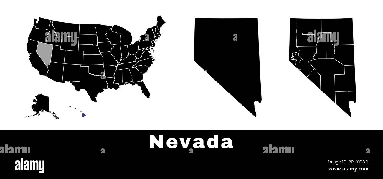 Nevada state map, USA. Set of Nevada maps with outline border, counties and US states map. Black and white color vector illustration. Stock Vectorhttps://www.alamy.com/image-license-details/?v=1https://www.alamy.com/nevada-state-map-usa-set-of-nevada-maps-with-outline-border-counties-and-us-states-map-black-and-white-color-vector-illustration-image544551433.html
RF2PHXCWD–Nevada state map, USA. Set of Nevada maps with outline border, counties and US states map. Black and white color vector illustration.
 Sustainable habitat Map of Nevada, Environment concept Stock Photohttps://www.alamy.com/image-license-details/?v=1https://www.alamy.com/sustainable-habitat-map-of-nevada-environment-concept-image482414423.html
RF2K0RTEF–Sustainable habitat Map of Nevada, Environment concept
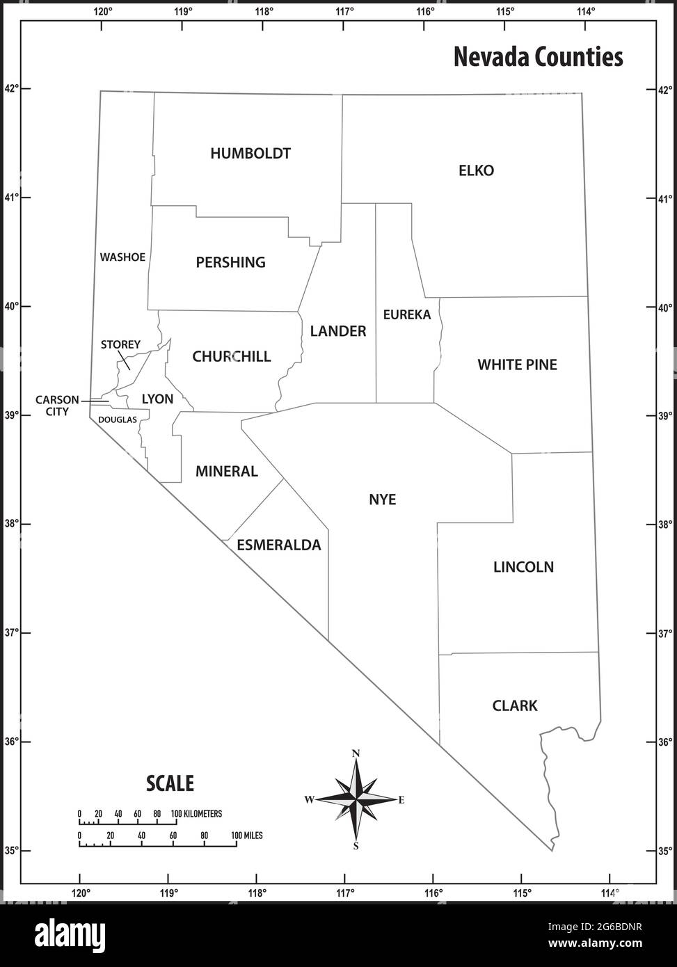 nevada state outline administrative and political vector map in black and white Stock Vectorhttps://www.alamy.com/image-license-details/?v=1https://www.alamy.com/nevada-state-outline-administrative-and-political-vector-map-in-black-and-white-image434199411.html
RF2G6BDNR–nevada state outline administrative and political vector map in black and white
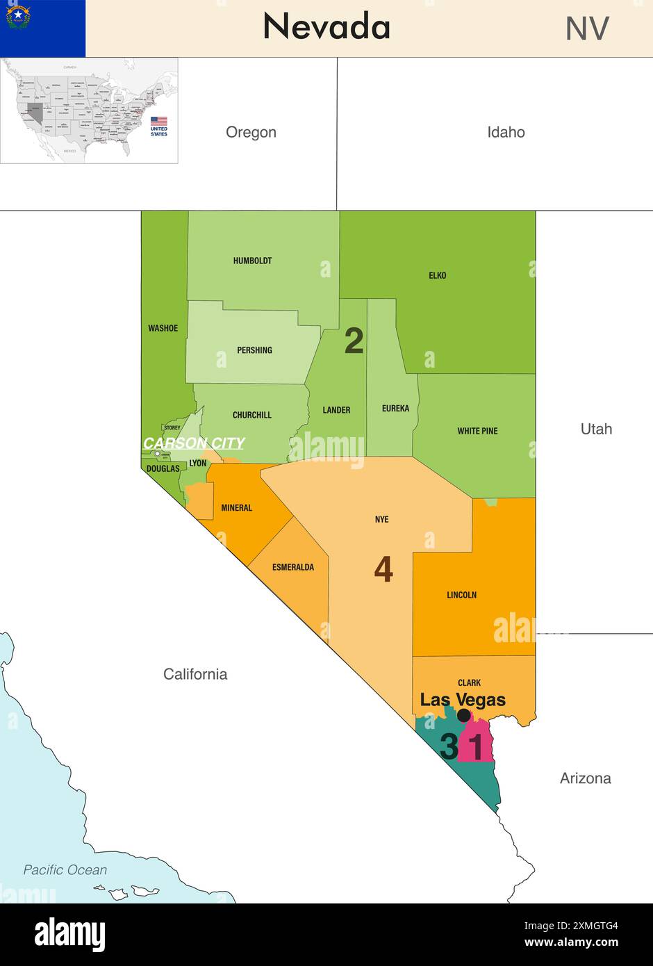 Nevada state map with counties borders and colored congressional districts boundaries due to The 2020 United States census and which is valid since 20 Stock Vectorhttps://www.alamy.com/image-license-details/?v=1https://www.alamy.com/nevada-state-map-with-counties-borders-and-colored-congressional-districts-boundaries-due-to-the-2020-united-states-census-and-which-is-valid-since-20-image615026500.html
RF2XMGTG4–Nevada state map with counties borders and colored congressional districts boundaries due to The 2020 United States census and which is valid since 20
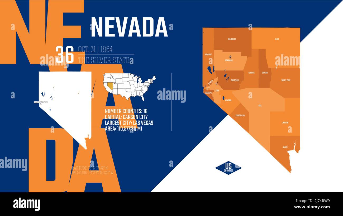 36 of 50 states of the United States, divided into counties with territory nicknames, Detailed vector Nevada Map with name and date admitted to the Un Stock Vectorhttps://www.alamy.com/image-license-details/?v=1https://www.alamy.com/36-of-50-states-of-the-united-states-divided-into-counties-with-territory-nicknames-detailed-vector-nevada-map-with-name-and-date-admitted-to-the-un-image469089077.html
RF2J74RW9–36 of 50 states of the United States, divided into counties with territory nicknames, Detailed vector Nevada Map with name and date admitted to the Un
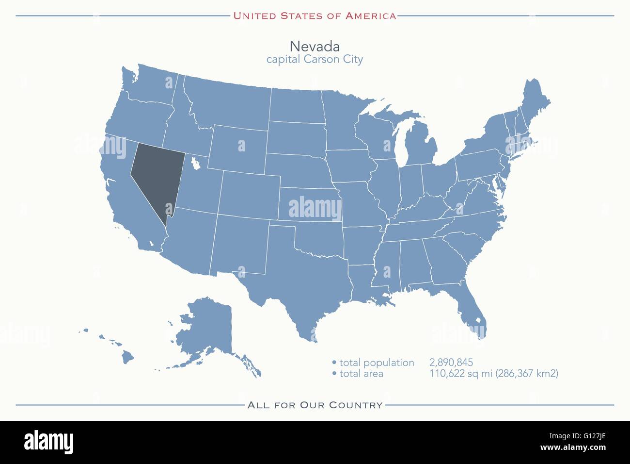 United States of America isolated map and Nevada State territory. vector USA political map. geographic banner template Stock Vectorhttps://www.alamy.com/image-license-details/?v=1https://www.alamy.com/stock-photo-united-states-of-america-isolated-map-and-nevada-state-territory-vector-103926774.html
RFG127JE–United States of America isolated map and Nevada State territory. vector USA political map. geographic banner template
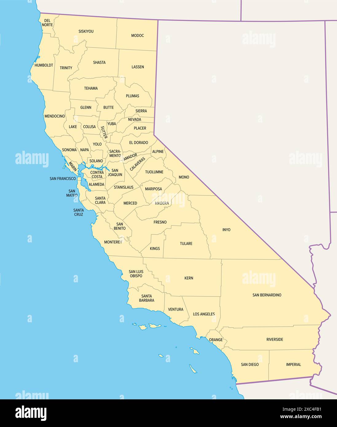 State of California counties, political map. U.S. state of California, subdivided into 58 counties. Stock Photohttps://www.alamy.com/image-license-details/?v=1https://www.alamy.com/state-of-california-counties-political-map-us-state-of-california-subdivided-into-58-counties-image609838629.html
RF2XC4FB1–State of California counties, political map. U.S. state of California, subdivided into 58 counties.
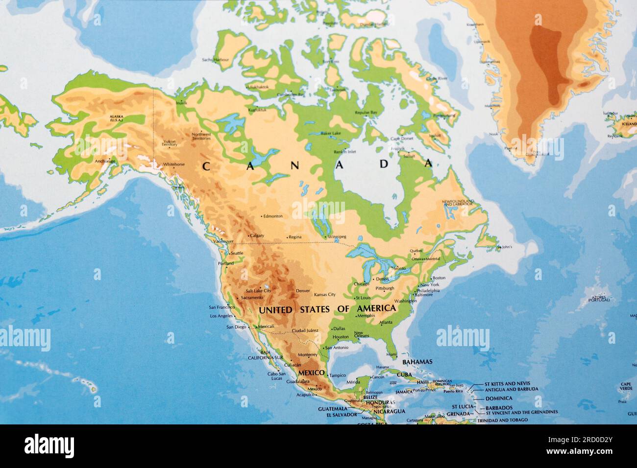 world map of north america continent with united states of america, canada and mexico with all border lines Stock Photohttps://www.alamy.com/image-license-details/?v=1https://www.alamy.com/world-map-of-north-america-continent-with-united-states-of-america-canada-and-mexico-with-all-border-lines-image558732579.html
RF2RD0D2Y–world map of north america continent with united states of america, canada and mexico with all border lines
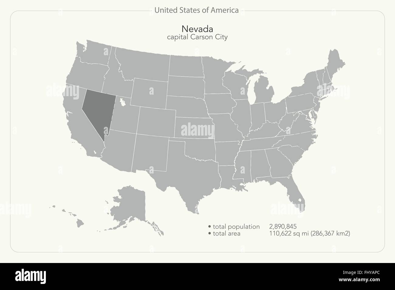 United States of America isolated map and Nevada State territory. vector USA political map. geographic banner template Stock Vectorhttps://www.alamy.com/image-license-details/?v=1https://www.alamy.com/stock-photo-united-states-of-america-isolated-map-and-nevada-state-territory-vector-97102164.html
RFFHYAPC–United States of America isolated map and Nevada State territory. vector USA political map. geographic banner template
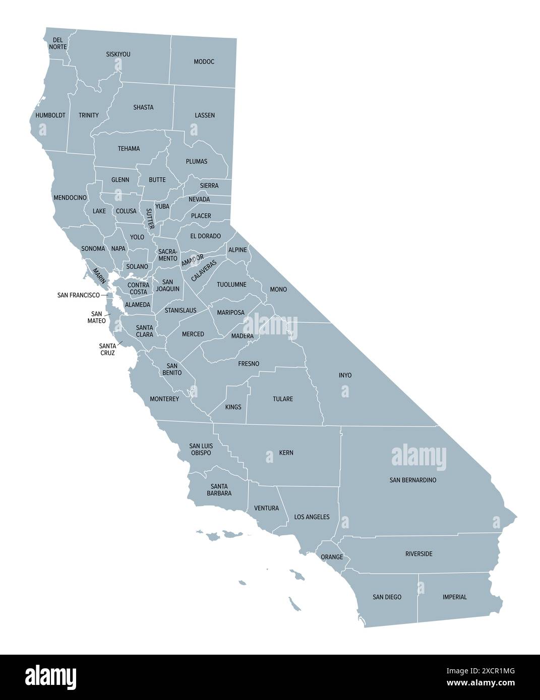 California state counties, gray political map. U.S. state of California subdivided into 58 counties. Stock Photohttps://www.alamy.com/image-license-details/?v=1https://www.alamy.com/california-state-counties-gray-political-map-us-state-of-california-subdivided-into-58-counties-image610245008.html
RF2XCR1MG–California state counties, gray political map. U.S. state of California subdivided into 58 counties.
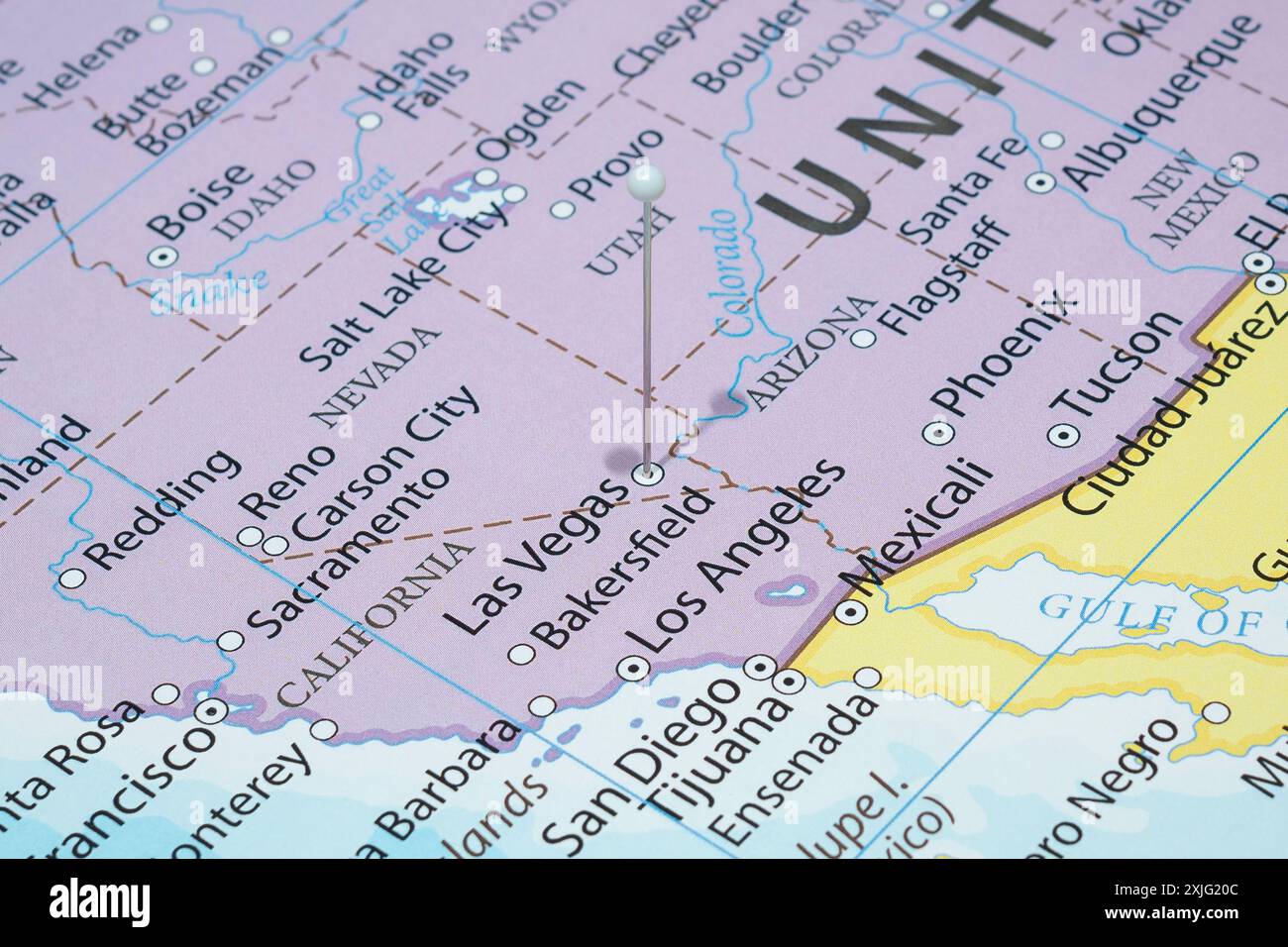 Close up to a Las Vegas city with a white pin needle into United States of America country political map Stock Photohttps://www.alamy.com/image-license-details/?v=1https://www.alamy.com/close-up-to-a-las-vegas-city-with-a-white-pin-needle-into-united-states-of-america-country-political-map-image613779500.html
RF2XJG20C–Close up to a Las Vegas city with a white pin needle into United States of America country political map
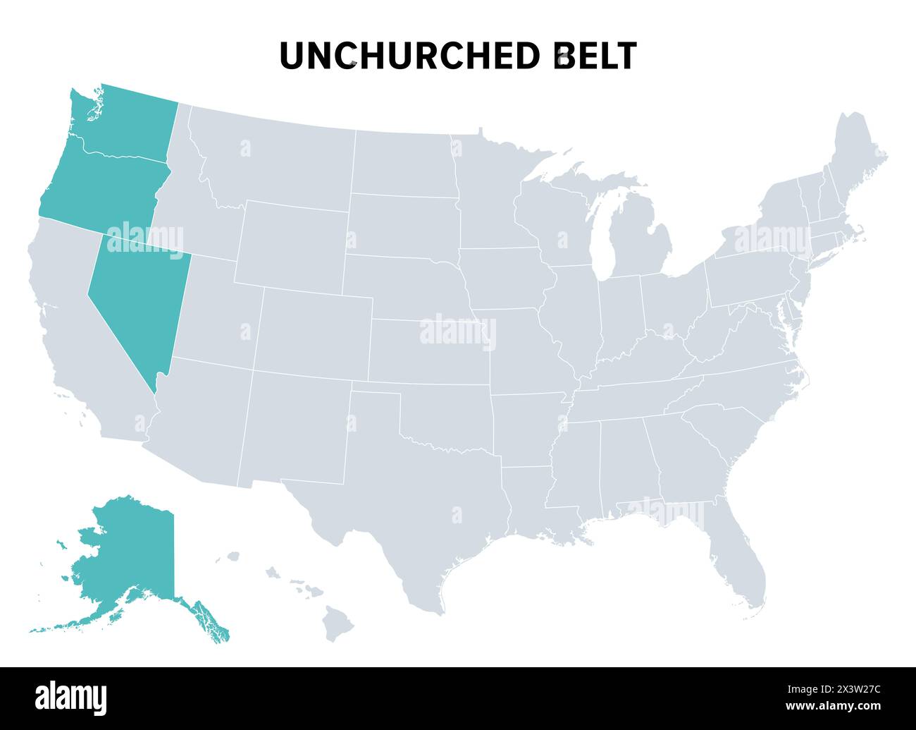 Unchurched Belt, a region in the northwest of the United States, political map. Region with lowest rate of religious participation. Stock Photohttps://www.alamy.com/image-license-details/?v=1https://www.alamy.com/unchurched-belt-a-region-in-the-northwest-of-the-united-states-political-map-region-with-lowest-rate-of-religious-participation-image604757424.html
RF2X3W27C–Unchurched Belt, a region in the northwest of the United States, political map. Region with lowest rate of religious participation.
 Ballotbox Map Nevada Stock Photohttps://www.alamy.com/image-license-details/?v=1https://www.alamy.com/stock-photo-ballotbox-map-nevada-93639818.html
RFFC9JF6–Ballotbox Map Nevada
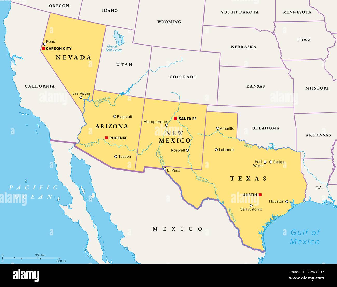 Southwest region of the United States, political map. States of the American Southwest or simply Southwest. Geographical and cultural region. Stock Photohttps://www.alamy.com/image-license-details/?v=1https://www.alamy.com/southwest-region-of-the-united-states-political-map-states-of-the-american-southwest-or-simply-southwest-geographical-and-cultural-region-image598636787.html
RF2WNX797–Southwest region of the United States, political map. States of the American Southwest or simply Southwest. Geographical and cultural region.
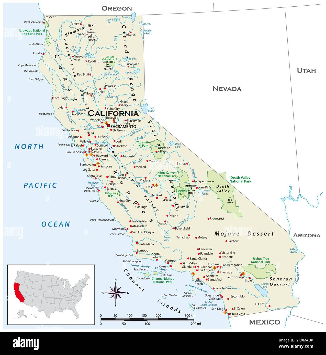 Highly detailed physical map of the US state of California Stock Photohttps://www.alamy.com/image-license-details/?v=1https://www.alamy.com/highly-detailed-physical-map-of-the-us-state-of-california-image482332867.html
RF2K0M4DR–Highly detailed physical map of the US state of California
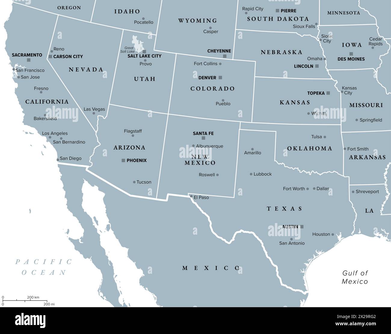 Southwest region of the United States, gray political map. States of American Southwest, simply Southwest. Geographical and cultural region. Stock Photohttps://www.alamy.com/image-license-details/?v=1https://www.alamy.com/southwest-region-of-the-united-states-gray-political-map-states-of-american-southwest-simply-southwest-geographical-and-cultural-region-image603808242.html
RF2X29RG2–Southwest region of the United States, gray political map. States of American Southwest, simply Southwest. Geographical and cultural region.
 Nevada maps vector outline counties, townships, regions, municipalities, departments, borders Stock Vectorhttps://www.alamy.com/image-license-details/?v=1https://www.alamy.com/nevada-maps-vector-outline-counties-townships-regions-municipalities-departments-borders-image358303298.html
RF2BPX3EA–Nevada maps vector outline counties, townships, regions, municipalities, departments, borders
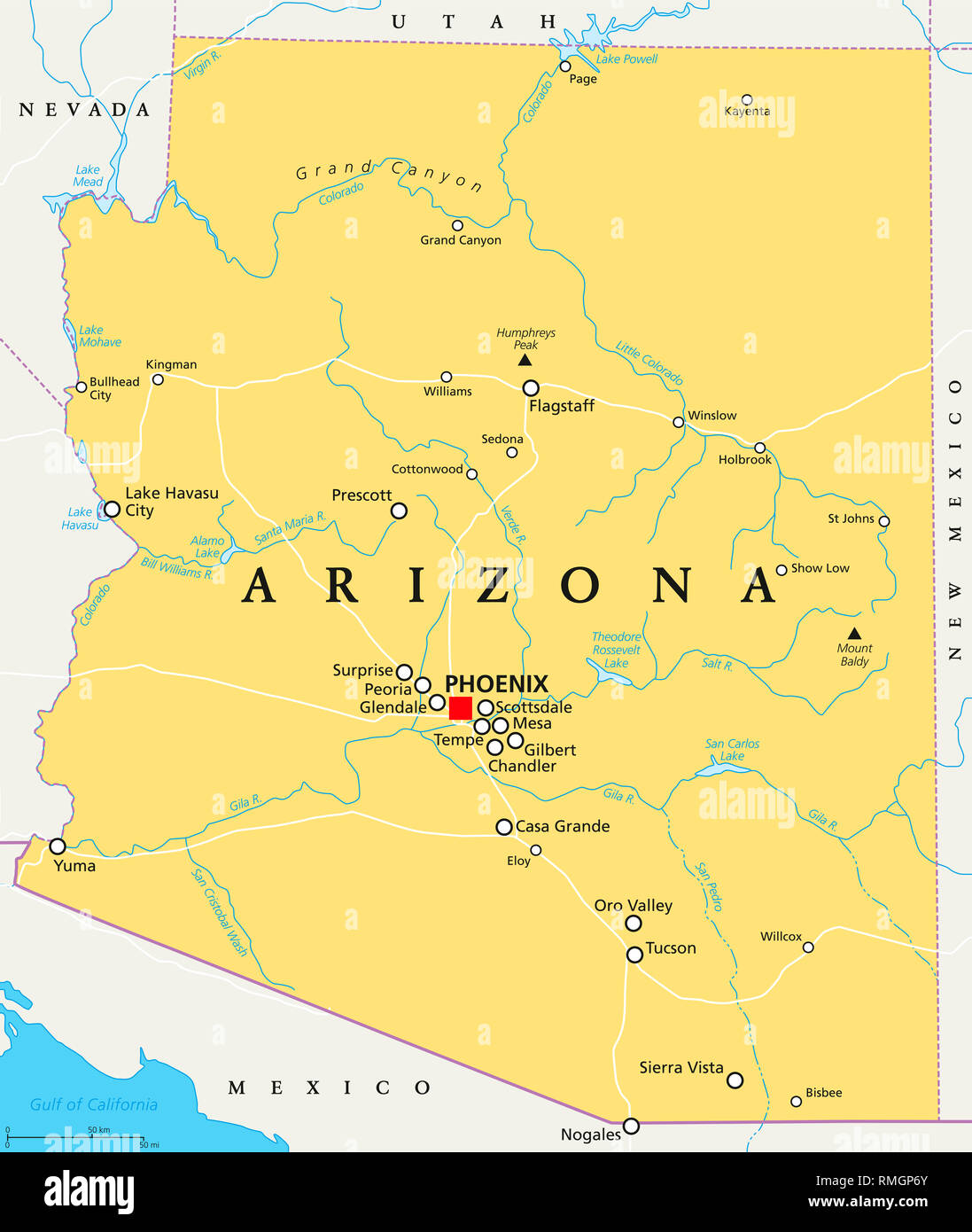 Arizona political map with capital Phoenix, important cities, rivers, lakes. State in southwestern region of United States. Illustration. Stock Photohttps://www.alamy.com/image-license-details/?v=1https://www.alamy.com/arizona-political-map-with-capital-phoenix-important-cities-rivers-lakes-state-in-southwestern-region-of-united-states-illustration-image236396579.html
RFRMGP6Y–Arizona political map with capital Phoenix, important cities, rivers, lakes. State in southwestern region of United States. Illustration.
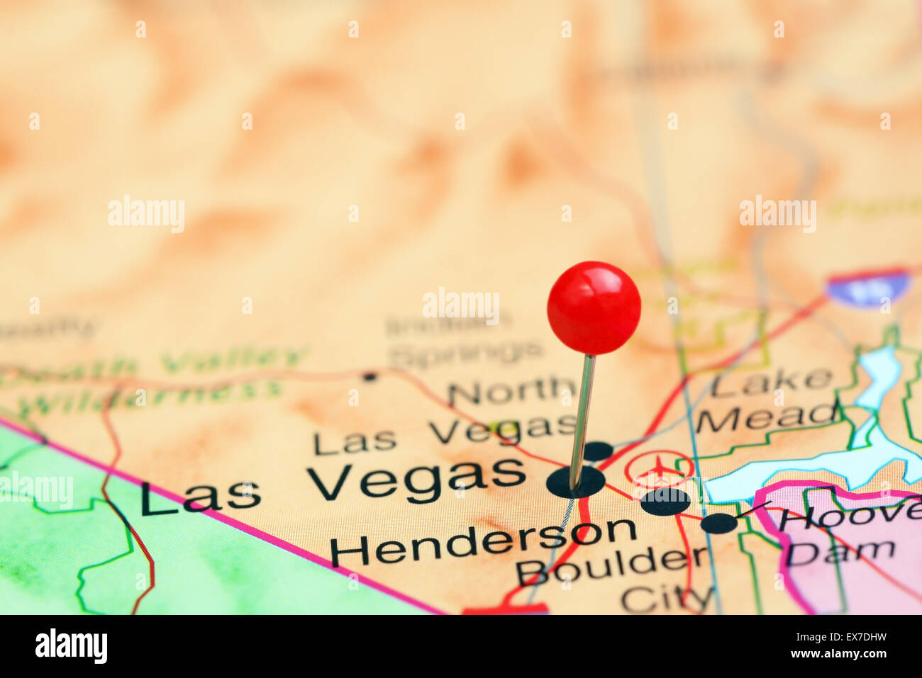 Las Vegas pinned on a map of USA Stock Photohttps://www.alamy.com/image-license-details/?v=1https://www.alamy.com/stock-photo-las-vegas-pinned-on-a-map-of-usa-84986885.html
RFEX7DHW–Las Vegas pinned on a map of USA
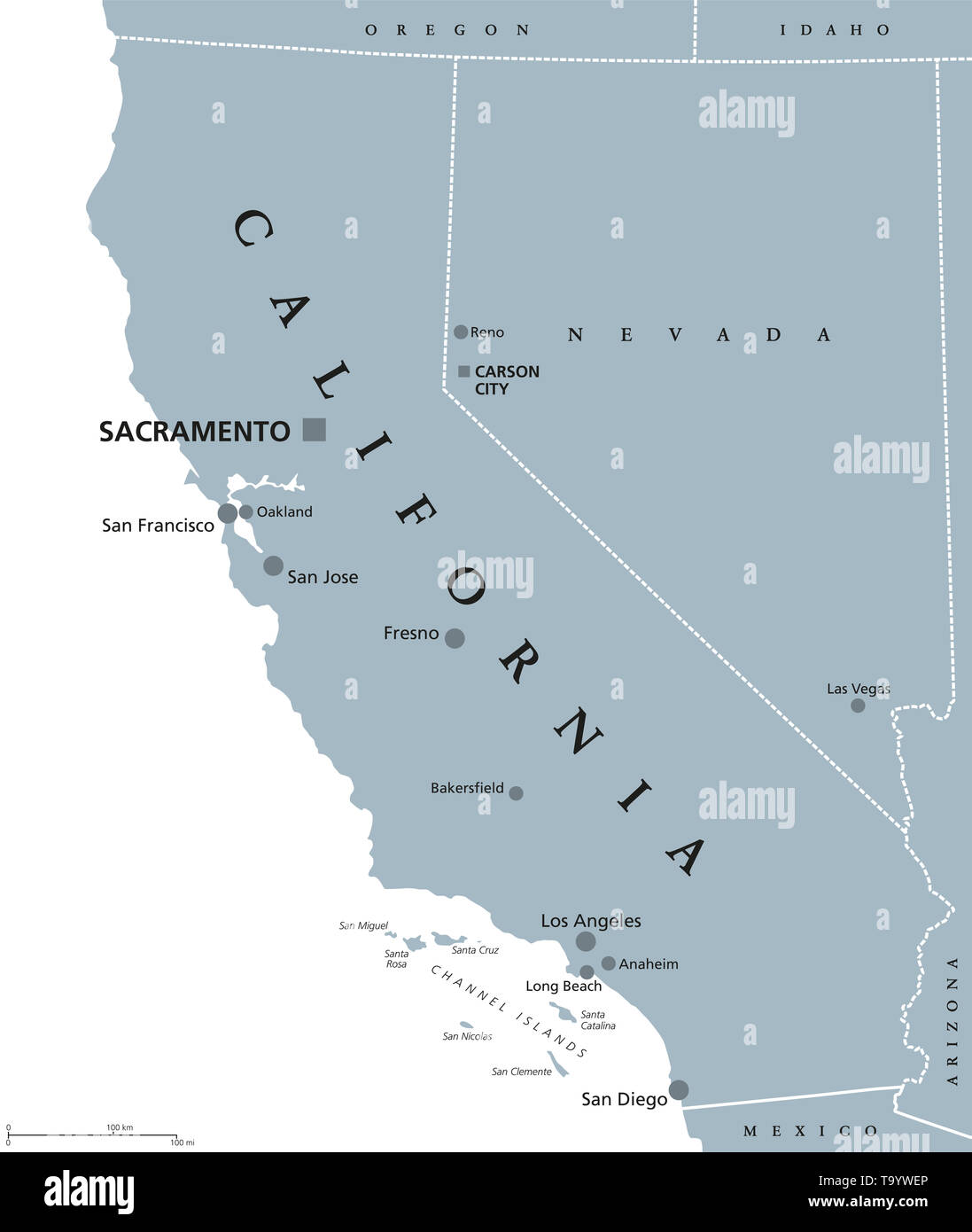 California political map with capital Sacramento, the largest cities and borders. State in the Pacific Region of the United States. The Golden State. Stock Photohttps://www.alamy.com/image-license-details/?v=1https://www.alamy.com/california-political-map-with-capital-sacramento-the-largest-cities-and-borders-state-in-the-pacific-region-of-the-united-states-the-golden-state-image247089774.html
RFT9YWEP–California political map with capital Sacramento, the largest cities and borders. State in the Pacific Region of the United States. The Golden State.
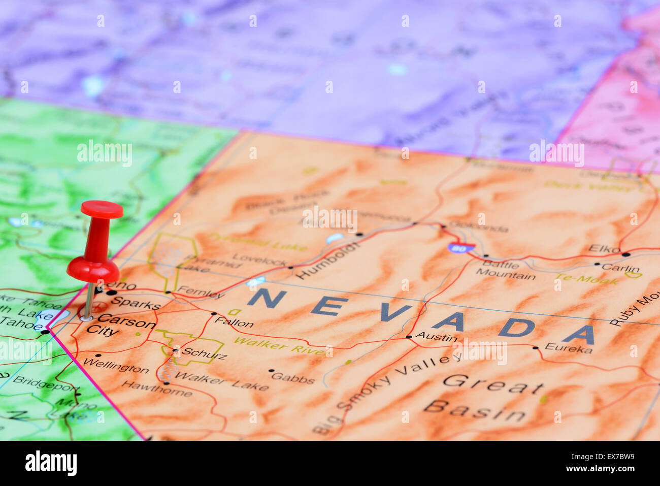 Carson City pinned on a map of USA Stock Photohttps://www.alamy.com/image-license-details/?v=1https://www.alamy.com/stock-photo-carson-city-pinned-on-a-map-of-usa-84985525.html
RFEX7BW9–Carson City pinned on a map of USA
 Green Forest Map of Nevada, on white background Stock Photohttps://www.alamy.com/image-license-details/?v=1https://www.alamy.com/green-forest-map-of-nevada-on-white-background-image453367051.html
RF2H9GJ8B–Green Forest Map of Nevada, on white background
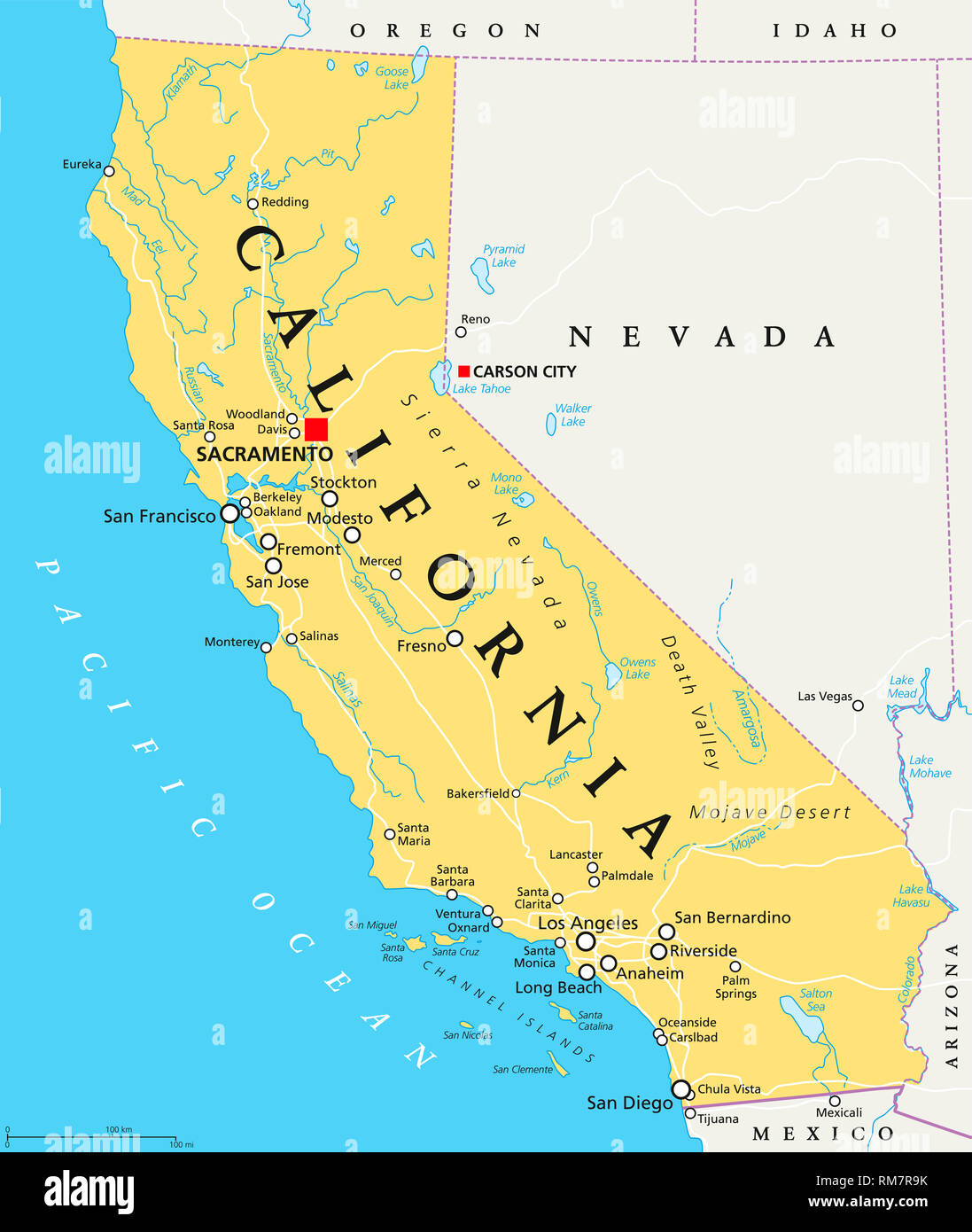 California political map with capital Sacramento, important cities, rivers, lakes. State in the Pacific Region of the United States. Illustration. Stock Photohttps://www.alamy.com/image-license-details/?v=1https://www.alamy.com/california-political-map-with-capital-sacramento-important-cities-rivers-lakes-state-in-the-pacific-region-of-the-united-states-illustration-image236199871.html
RFRM7R9K–California political map with capital Sacramento, important cities, rivers, lakes. State in the Pacific Region of the United States. Illustration.
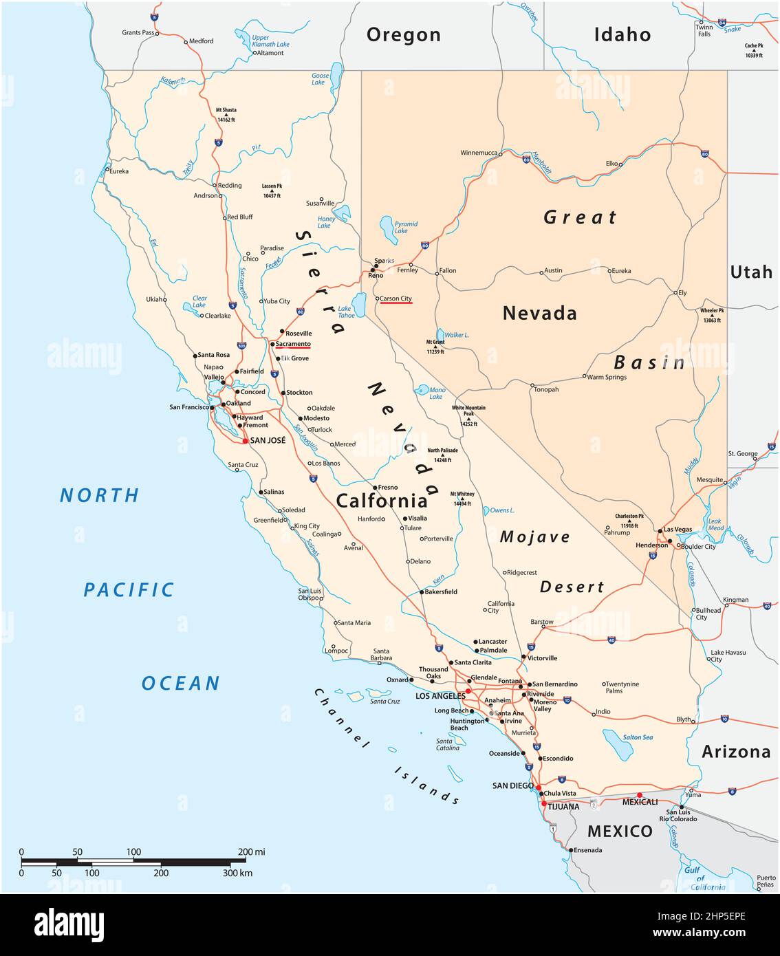 Vector road map of US states California and Nevada Stock Vectorhttps://www.alamy.com/image-license-details/?v=1https://www.alamy.com/vector-road-map-of-us-states-california-and-nevada-image461113366.html
RF2HP5EPE–Vector road map of US states California and Nevada
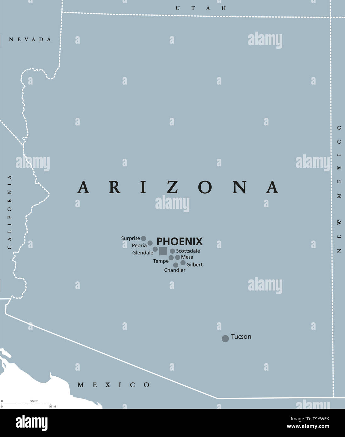 Arizona political map with capital Phoenix. State in southwestern region of United States, Part of Western and Mountain States. The Grand Canyon State Stock Photohttps://www.alamy.com/image-license-details/?v=1https://www.alamy.com/arizona-political-map-with-capital-phoenix-state-in-southwestern-region-of-united-states-part-of-western-and-mountain-states-the-grand-canyon-state-image247089799.html
RFT9YWFK–Arizona political map with capital Phoenix. State in southwestern region of United States, Part of Western and Mountain States. The Grand Canyon State
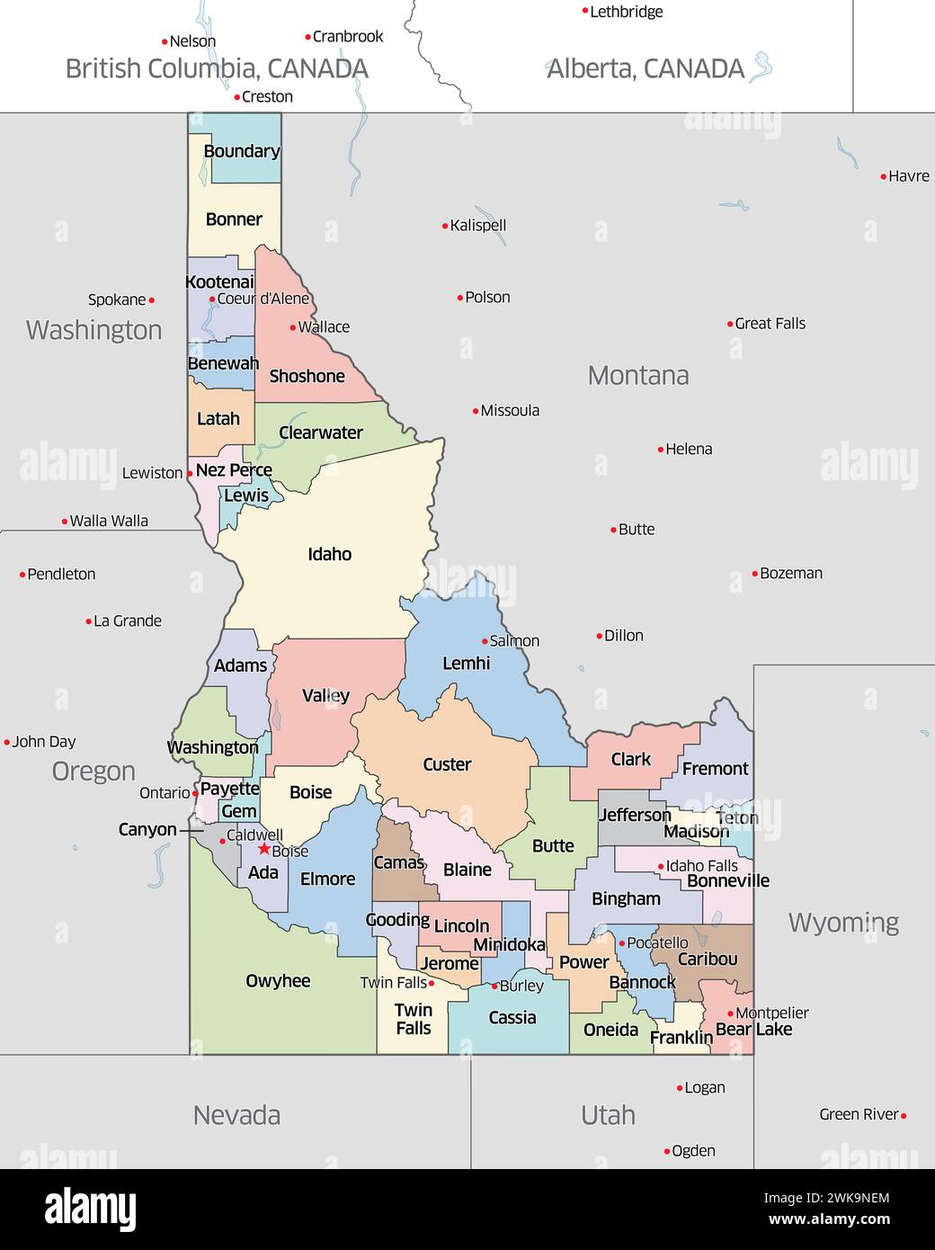 Political map showing the counties that make up the state of Idaho, located in the United States. Stock Photohttps://www.alamy.com/image-license-details/?v=1https://www.alamy.com/political-map-showing-the-counties-that-make-up-the-state-of-idaho-located-in-the-united-states-image597045420.html
RF2WK9NEM–Political map showing the counties that make up the state of Idaho, located in the United States.
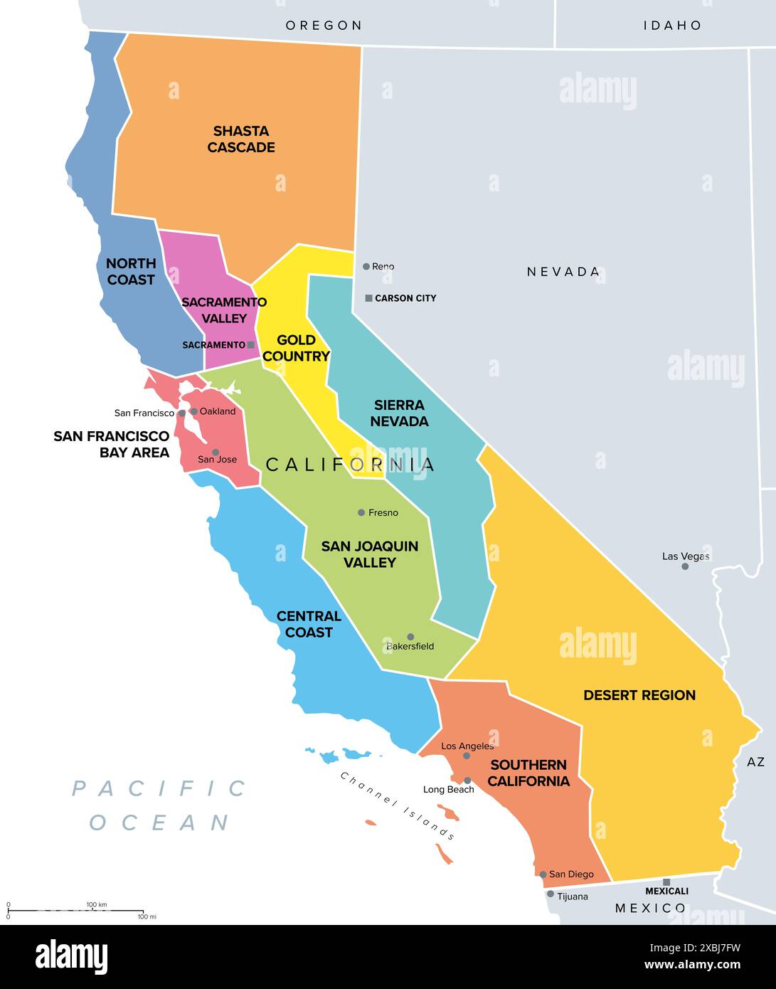 California, major regions, political map. State in the Western United States with capital Sacramento, lying on the Pacific Coast. Stock Photohttps://www.alamy.com/image-license-details/?v=1https://www.alamy.com/california-major-regions-political-map-state-in-the-western-united-states-with-capital-sacramento-lying-on-the-pacific-coast-image609525165.html
RF2XBJ7FW–California, major regions, political map. State in the Western United States with capital Sacramento, lying on the Pacific Coast.
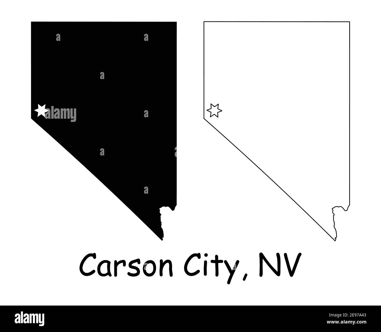 Nevada NV state Map USA with Capital City Star at Carson City. Black silhouette and outline isolated on a white background. EPS Vector Stock Vectorhttps://www.alamy.com/image-license-details/?v=1https://www.alamy.com/nevada-nv-state-map-usa-with-capital-city-star-at-carson-city-black-silhouette-and-outline-isolated-on-a-white-background-eps-vector-image401531987.html
RF2E97A43–Nevada NV state Map USA with Capital City Star at Carson City. Black silhouette and outline isolated on a white background. EPS Vector
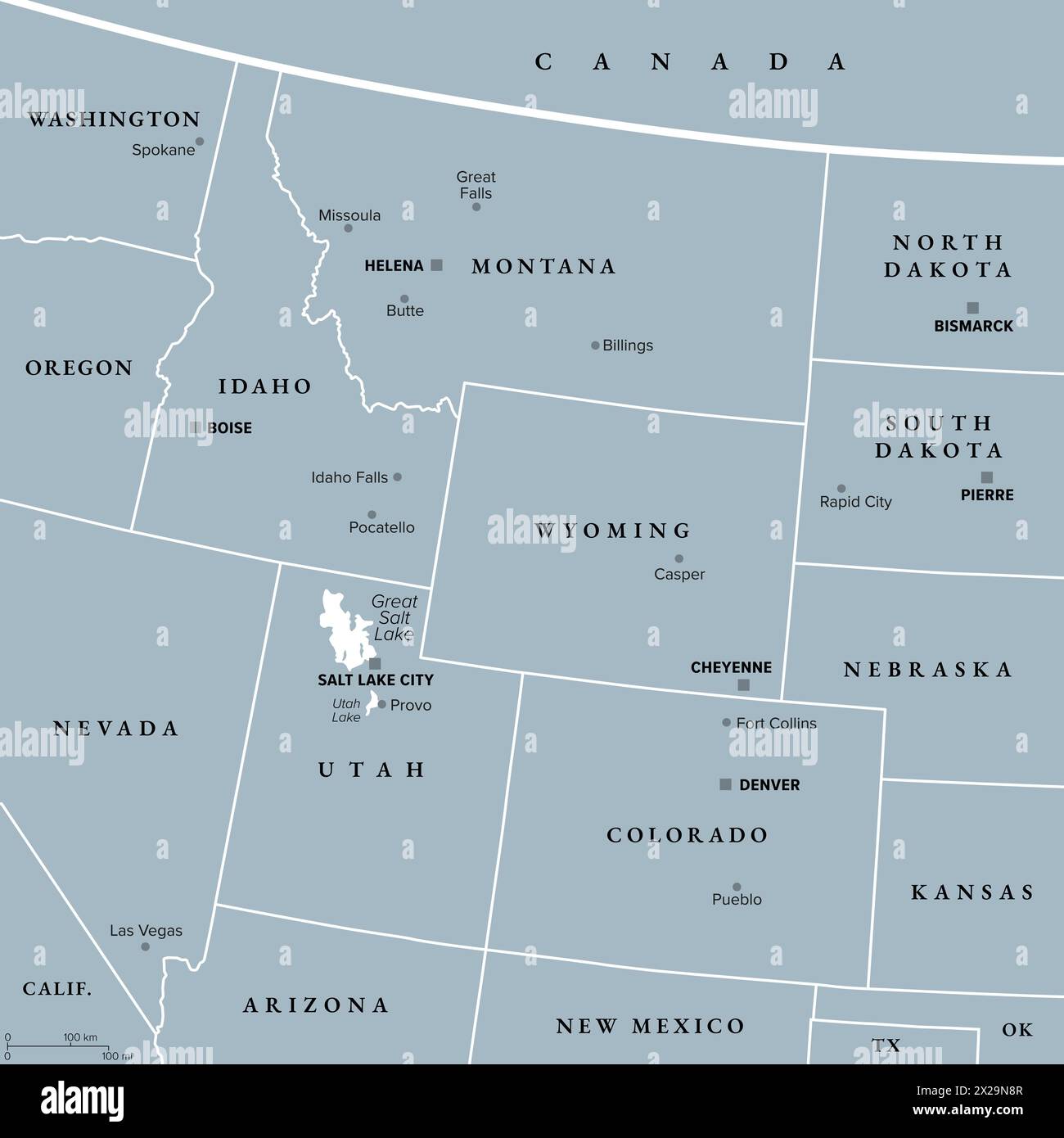 Rocky Mountain region of the United States, gray political map. Rocky Mountains, Rockies for short, divide western United States from the Great Plains. Stock Photohttps://www.alamy.com/image-license-details/?v=1https://www.alamy.com/rocky-mountain-region-of-the-united-states-gray-political-map-rocky-mountains-rockies-for-short-divide-western-united-states-from-the-great-plains-image603806471.html
RF2X29N8R–Rocky Mountain region of the United States, gray political map. Rocky Mountains, Rockies for short, divide western United States from the Great Plains.
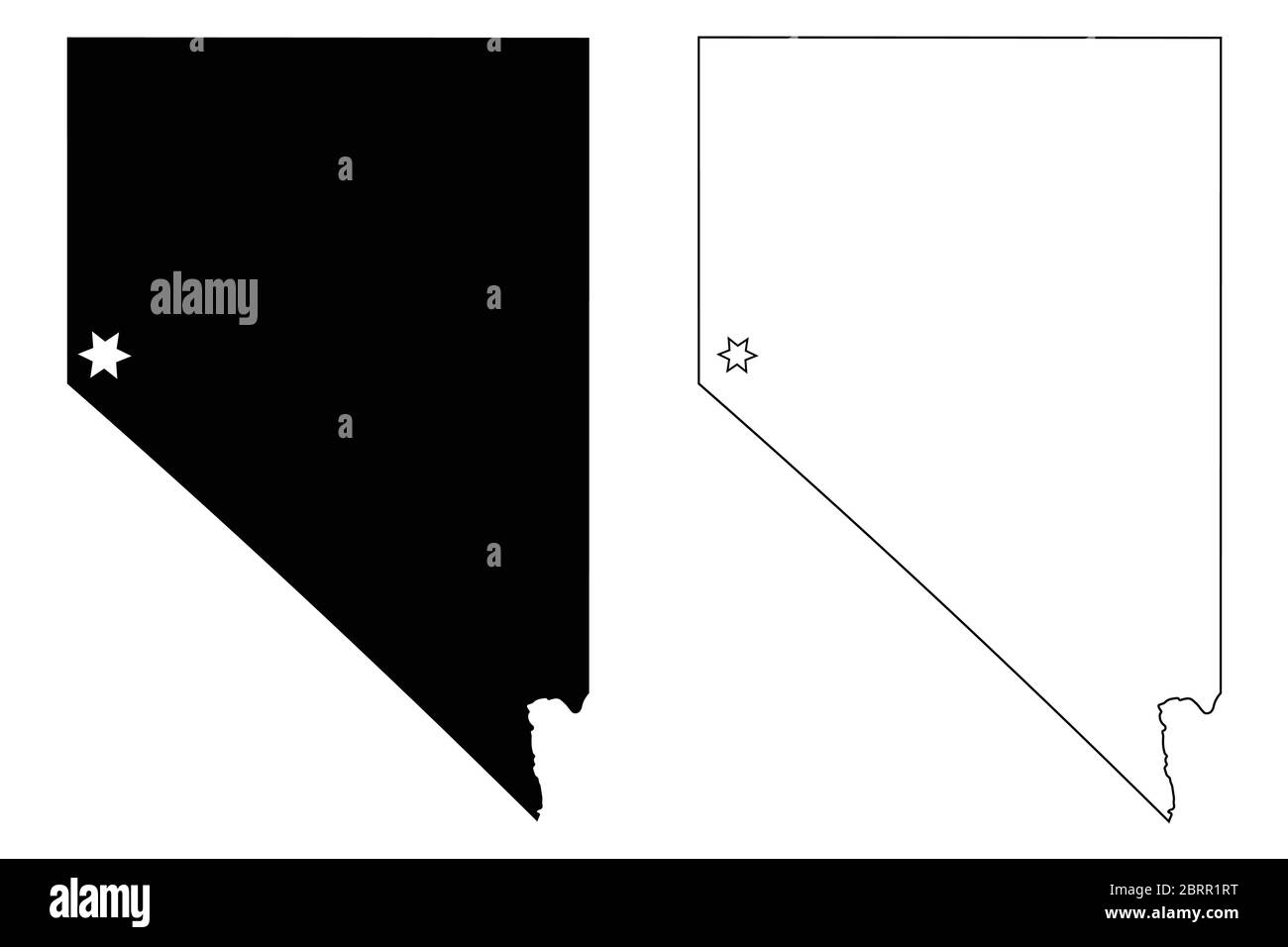 Nevada NV state Map USA with Capital City Star at Carson City. Black silhouette and outline isolated on a white background. EPS Vector Stock Vectorhttps://www.alamy.com/image-license-details/?v=1https://www.alamy.com/nevada-nv-state-map-usa-with-capital-city-star-at-carson-city-black-silhouette-and-outline-isolated-on-a-white-background-eps-vector-image358850796.html
RF2BRR1RT–Nevada NV state Map USA with Capital City Star at Carson City. Black silhouette and outline isolated on a white background. EPS Vector
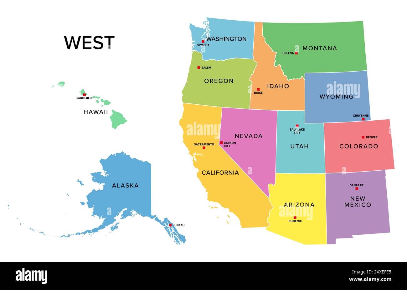 West, U.S. census region, multi colored political map. Census region 4 of the United States, consisting of 13 single states. Colored silhouettes. Stock Photohttps://www.alamy.com/image-license-details/?v=1https://www.alamy.com/west-us-census-region-multi-colored-political-map-census-region-4-of-the-united-states-consisting-of-13-single-states-colored-silhouettes-image618663421.html
RF2XXEFE5–West, U.S. census region, multi colored political map. Census region 4 of the United States, consisting of 13 single states. Colored silhouettes.
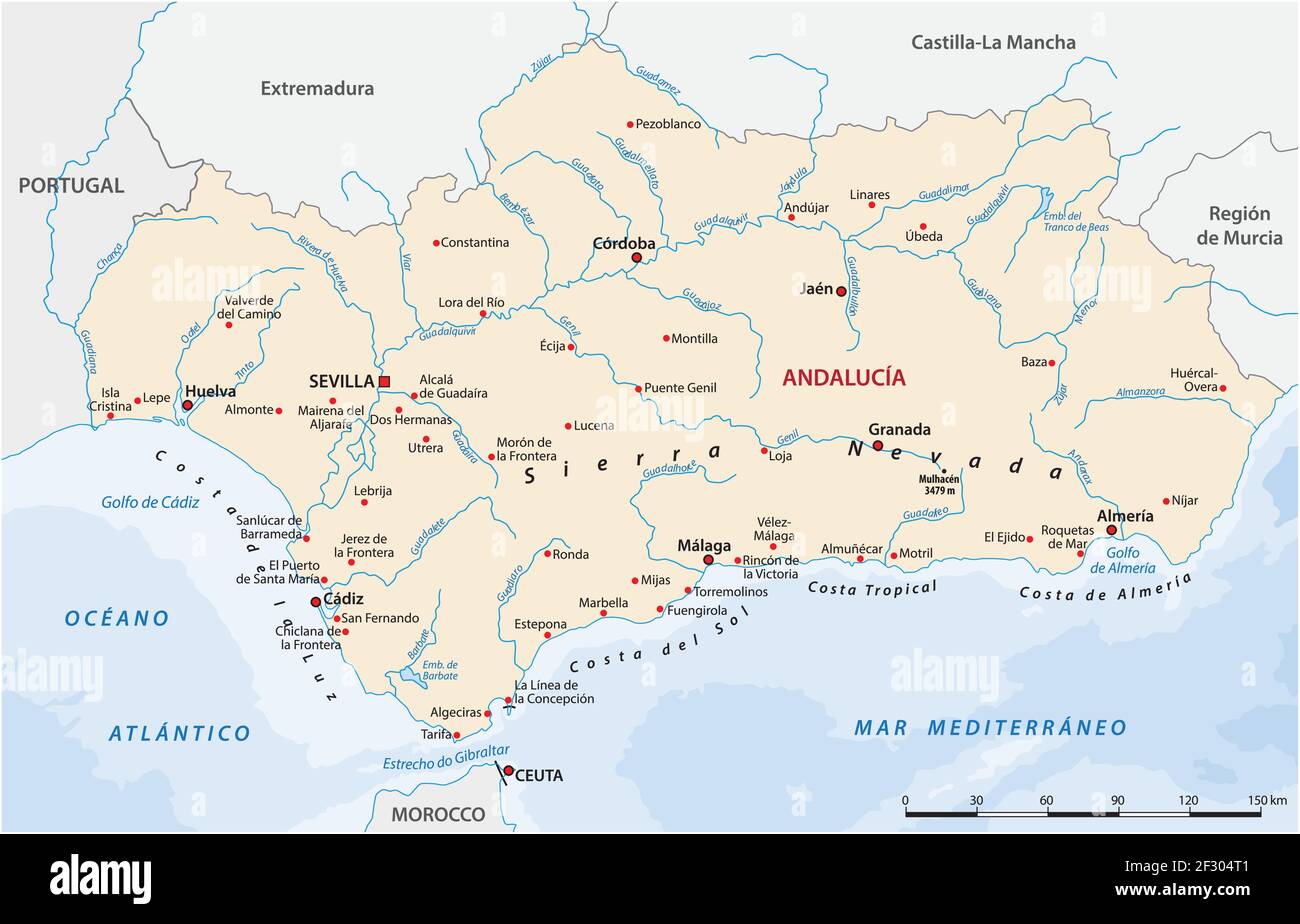 vector map of the Spanish autonomous communities of Andalusia Stock Vectorhttps://www.alamy.com/image-license-details/?v=1https://www.alamy.com/vector-map-of-the-spanish-autonomous-communities-of-andalusia-image414896609.html
RF2F304T1–vector map of the Spanish autonomous communities of Andalusia
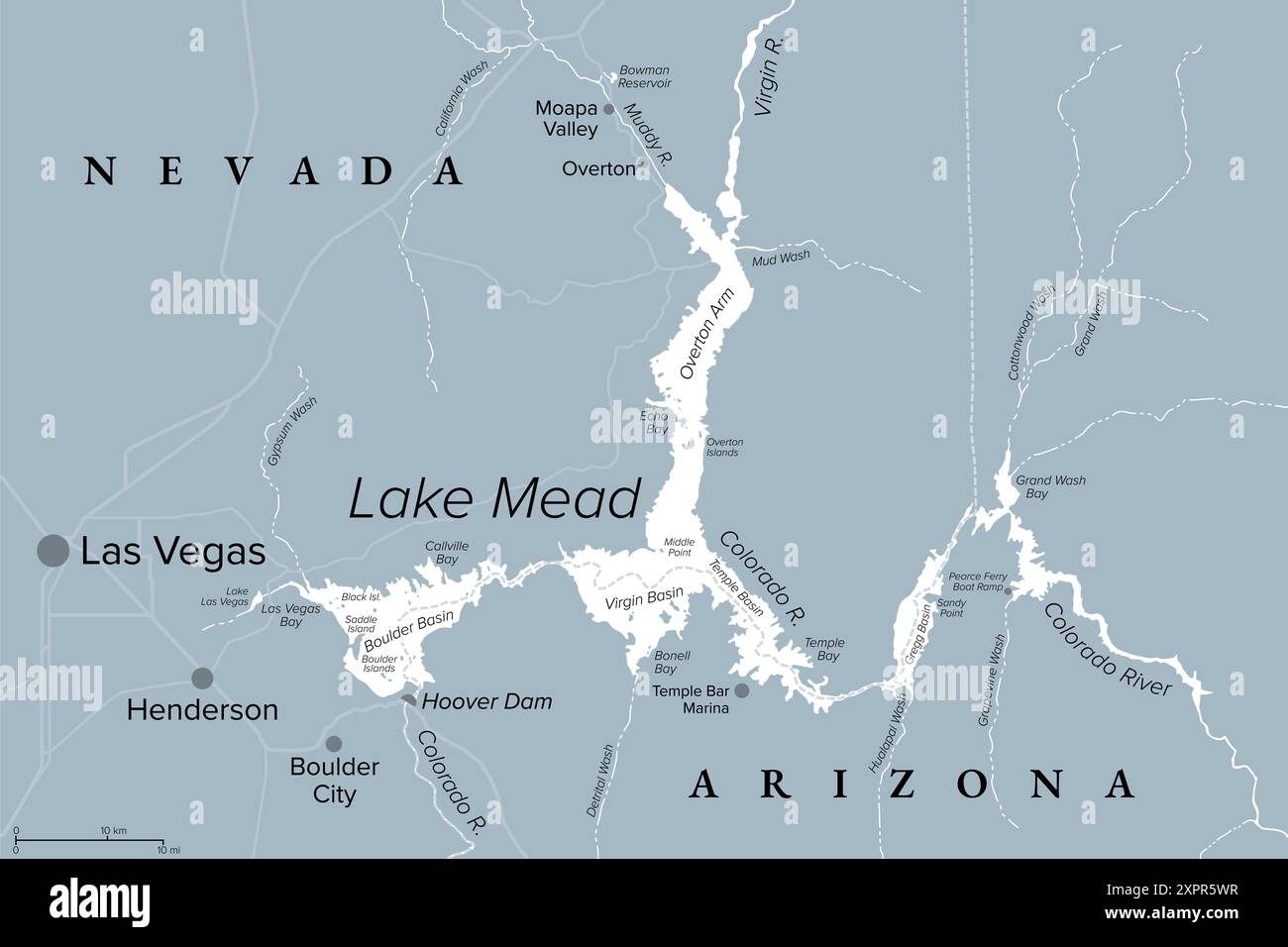 Lake Mead, largest reservoir in the United States, gray political map. Formed by the Hoover Dam on Colorado River in Southwestern USA. Stock Photohttps://www.alamy.com/image-license-details/?v=1https://www.alamy.com/lake-mead-largest-reservoir-in-the-united-states-gray-political-map-formed-by-the-hoover-dam-on-colorado-river-in-southwestern-usa-image616394851.html
RF2XPR5WR–Lake Mead, largest reservoir in the United States, gray political map. Formed by the Hoover Dam on Colorado River in Southwestern USA.
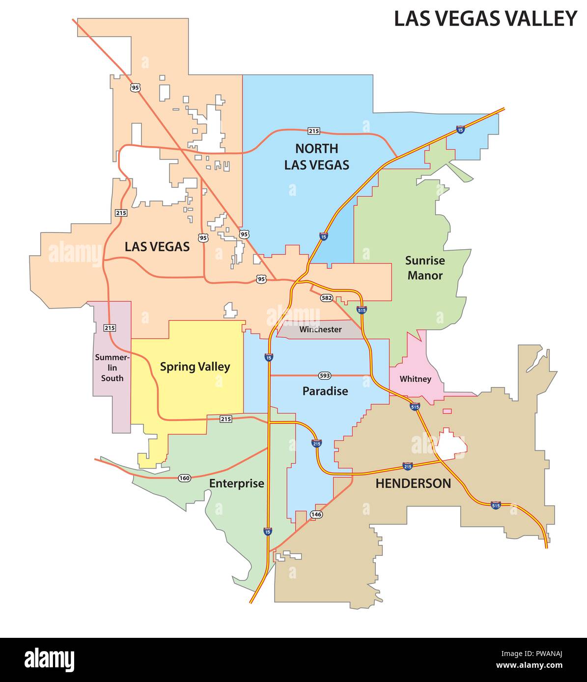 Las Vegas Valley road and administrative map. Stock Vectorhttps://www.alamy.com/image-license-details/?v=1https://www.alamy.com/las-vegas-valley-road-and-administrative-map-image222127098.html
RFPWANAJ–Las Vegas Valley road and administrative map.
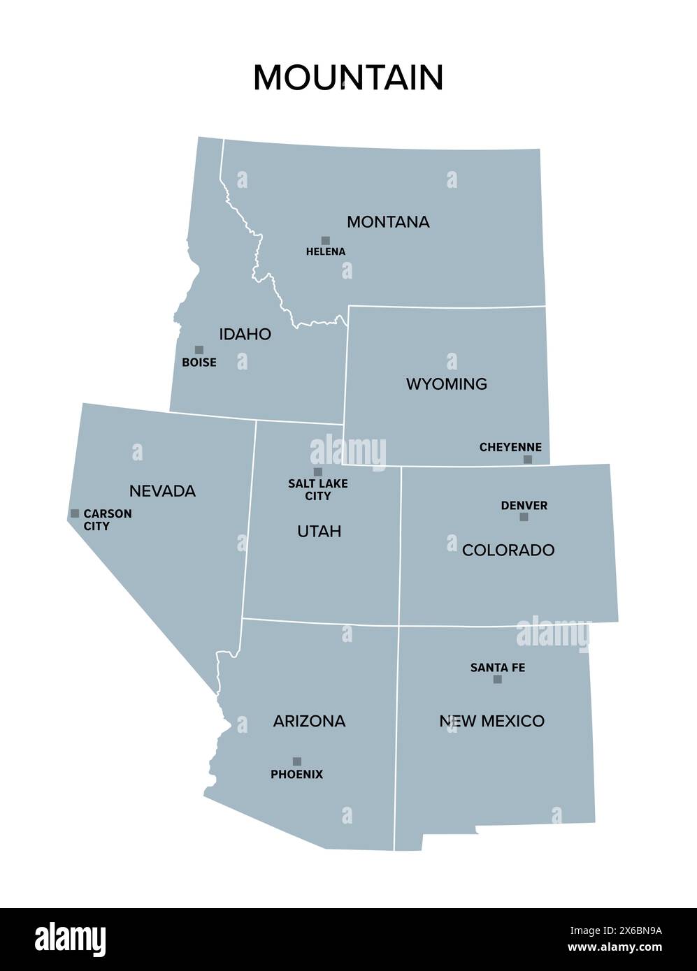 Mountain states, gray political map. United States Census division of the West region. Stock Photohttps://www.alamy.com/image-license-details/?v=1https://www.alamy.com/mountain-states-gray-political-map-united-states-census-division-of-the-west-region-image606309014.html
RF2X6BN9A–Mountain states, gray political map. United States Census division of the West region.
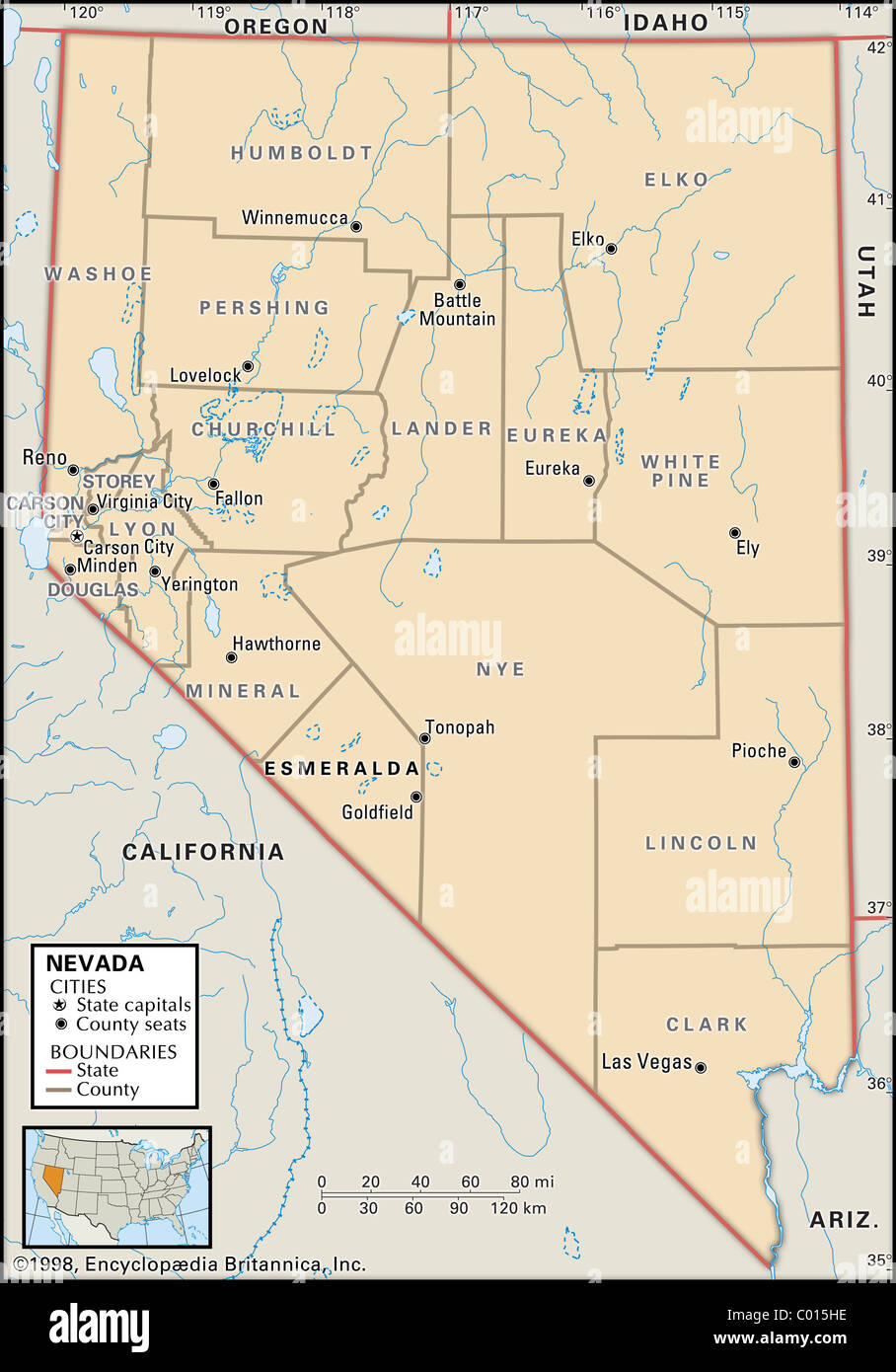 Political map of Nevada Stock Photohttps://www.alamy.com/image-license-details/?v=1https://www.alamy.com/stock-photo-political-map-of-nevada-34447098.html
RMC015HE–Political map of Nevada
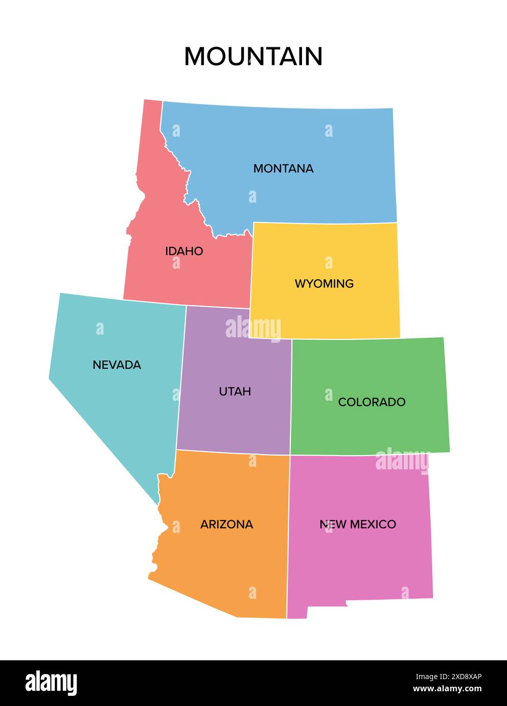 Mountain states, multi colored political map. United States Census division of the West region. Stock Photohttps://www.alamy.com/image-license-details/?v=1https://www.alamy.com/mountain-states-multi-colored-political-map-united-states-census-division-of-the-west-region-image610549710.html
RF2XD8XAP–Mountain states, multi colored political map. United States Census division of the West region.
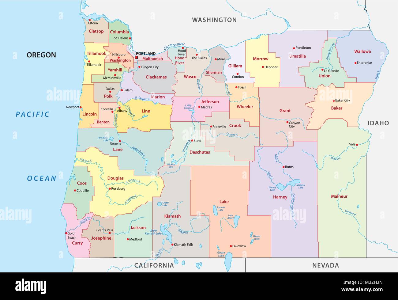 oregon administrative and political vector map Stock Vectorhttps://www.alamy.com/image-license-details/?v=1https://www.alamy.com/stock-photo-oregon-administrative-and-political-vector-map-174004985.html
RFM32H3N–oregon administrative and political vector map
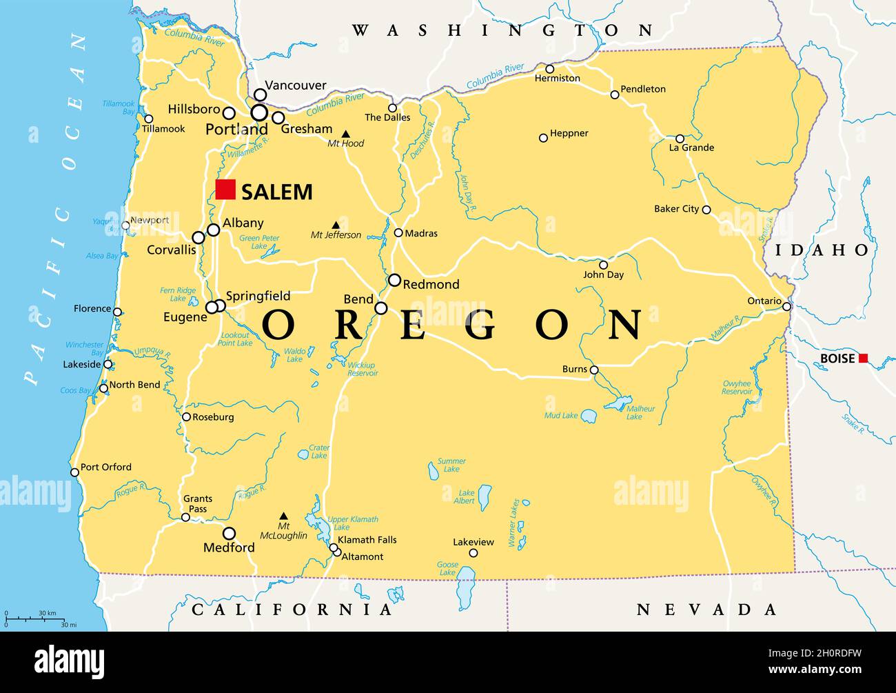 Oregon, OR, political map with the capital Salem. State in the Pacific Northwest region of the Western United States of America. Stock Photohttps://www.alamy.com/image-license-details/?v=1https://www.alamy.com/oregon-or-political-map-with-the-capital-salem-state-in-the-pacific-northwest-region-of-the-western-united-states-of-america-image447985101.html
RF2H0RDFW–Oregon, OR, political map with the capital Salem. State in the Pacific Northwest region of the Western United States of America.
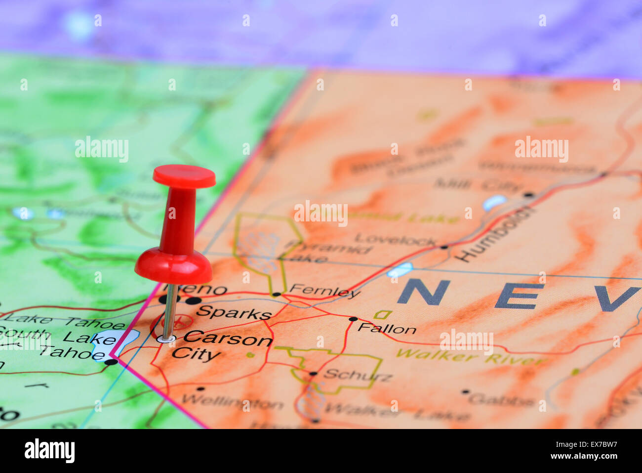 Carson City pinned on a map of USA Stock Photohttps://www.alamy.com/image-license-details/?v=1https://www.alamy.com/stock-photo-carson-city-pinned-on-a-map-of-usa-84985523.html
RFEX7BW7–Carson City pinned on a map of USA
 Map of Nevada, flag map, National colors background Stock Photohttps://www.alamy.com/image-license-details/?v=1https://www.alamy.com/map-of-nevada-flag-map-national-colors-background-image483942229.html
RF2K39D71–Map of Nevada, flag map, National colors background
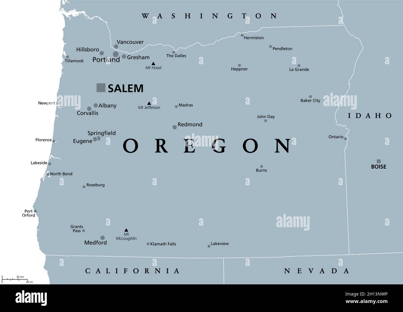 Oregon, OR, gray political map, with the capital Salem and borders. State in the Pacific Northwest region of the Western United States of America. Stock Photohttps://www.alamy.com/image-license-details/?v=1https://www.alamy.com/oregon-or-gray-political-map-with-the-capital-salem-and-borders-state-in-the-pacific-northwest-region-of-the-western-united-states-of-america-image448167266.html
RF2H13NWP–Oregon, OR, gray political map, with the capital Salem and borders. State in the Pacific Northwest region of the Western United States of America.
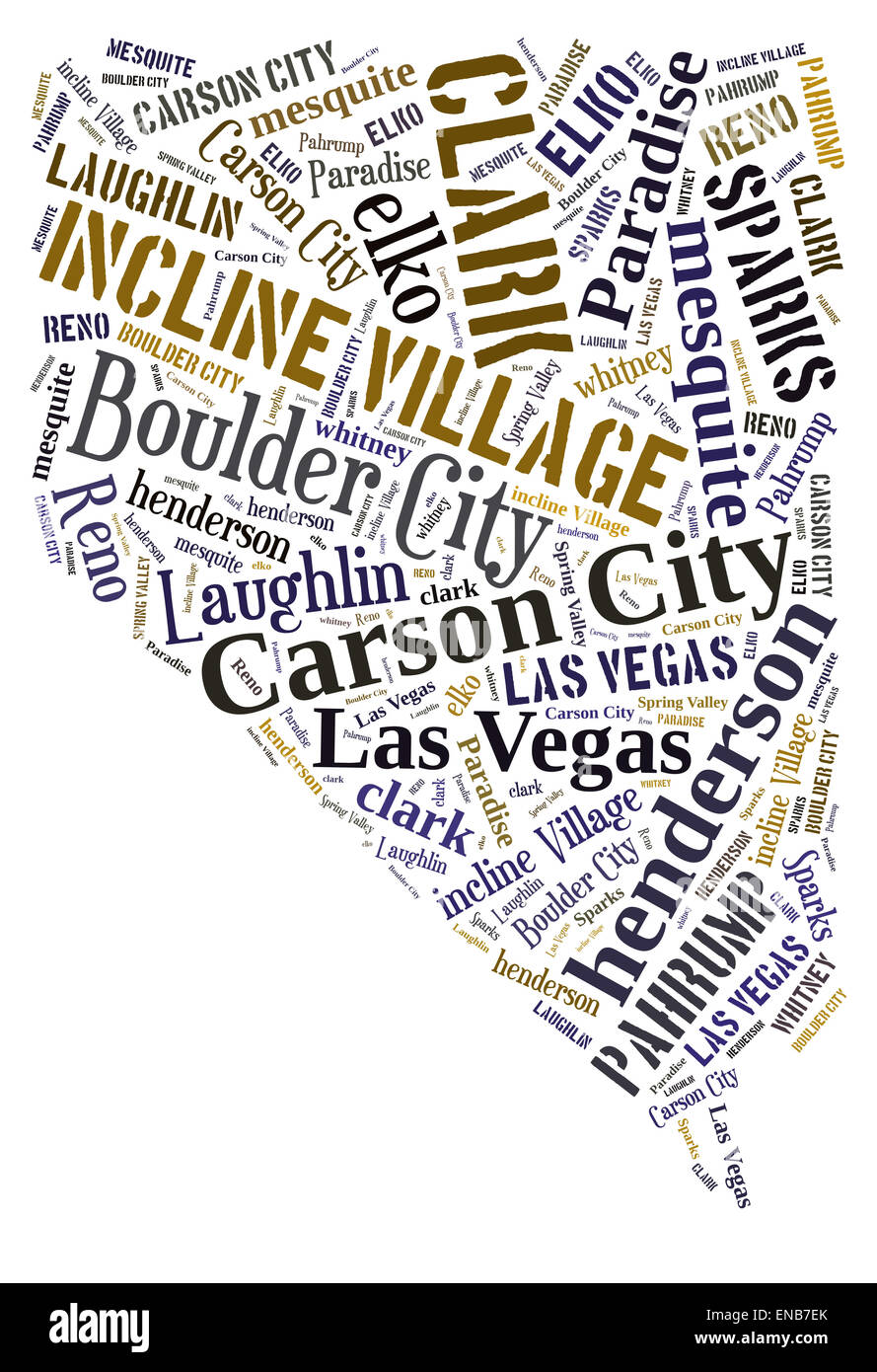 Word Cloud in the shape of Nevada showing some of the cities in the state Stock Photohttps://www.alamy.com/image-license-details/?v=1https://www.alamy.com/stock-photo-word-cloud-in-the-shape-of-nevada-showing-some-of-the-cities-in-the-81996619.html
RFENB7EK–Word Cloud in the shape of Nevada showing some of the cities in the state
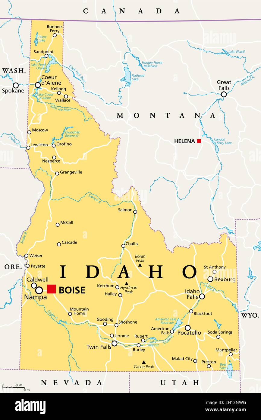 Idaho, ID, political map with the capital Boise, borders, important cities, rivers and lakes. State in the Pacific Northwest region of Western US. Stock Photohttps://www.alamy.com/image-license-details/?v=1https://www.alamy.com/idaho-id-political-map-with-the-capital-boise-borders-important-cities-rivers-and-lakes-state-in-the-pacific-northwest-region-of-western-us-image448167260.html
RF2H13NWG–Idaho, ID, political map with the capital Boise, borders, important cities, rivers and lakes. State in the Pacific Northwest region of Western US.
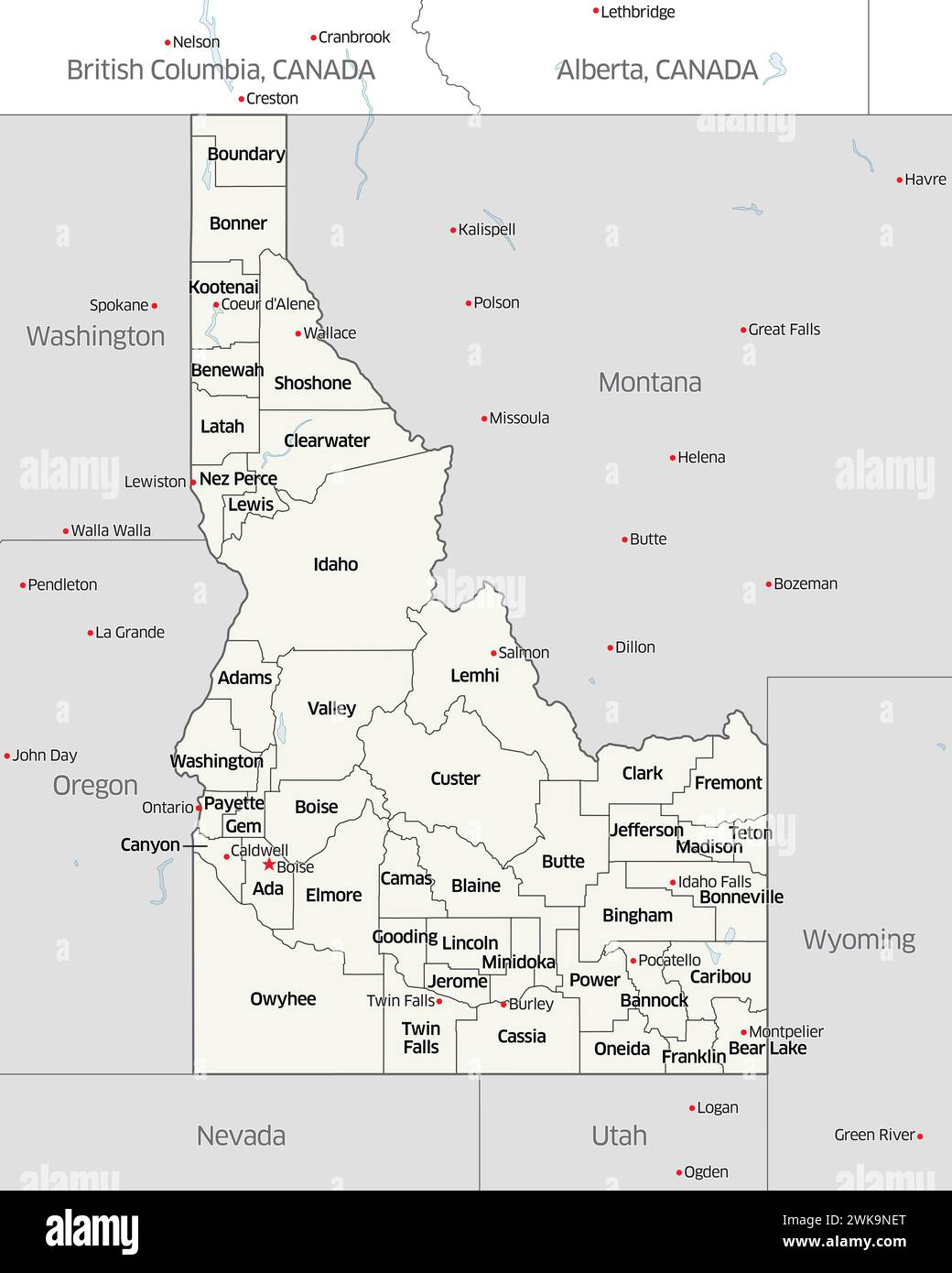 Political map showing the counties that make up the state of Idaho, located in the United States. Stock Photohttps://www.alamy.com/image-license-details/?v=1https://www.alamy.com/political-map-showing-the-counties-that-make-up-the-state-of-idaho-located-in-the-united-states-image597045424.html
RF2WK9NET–Political map showing the counties that make up the state of Idaho, located in the United States.
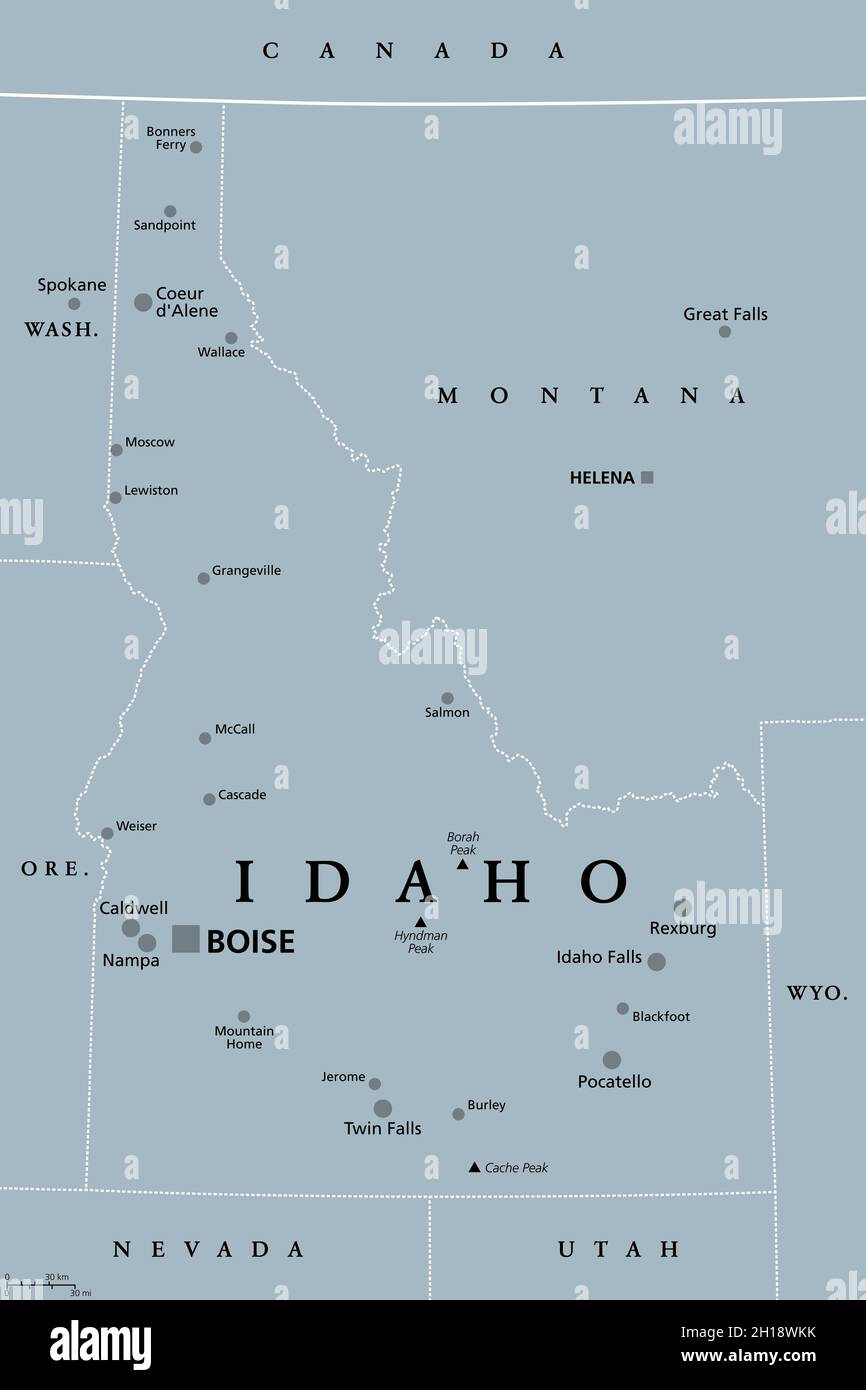 Idaho, ID, gray political map with capital Boise, borders, important cities, rivers and lakes. State in the Pacific Northwest region of Western USA. Stock Photohttps://www.alamy.com/image-license-details/?v=1https://www.alamy.com/idaho-id-gray-political-map-with-capital-boise-borders-important-cities-rivers-and-lakes-state-in-the-pacific-northwest-region-of-western-usa-image448279991.html
RF2H18WKK–Idaho, ID, gray political map with capital Boise, borders, important cities, rivers and lakes. State in the Pacific Northwest region of Western USA.
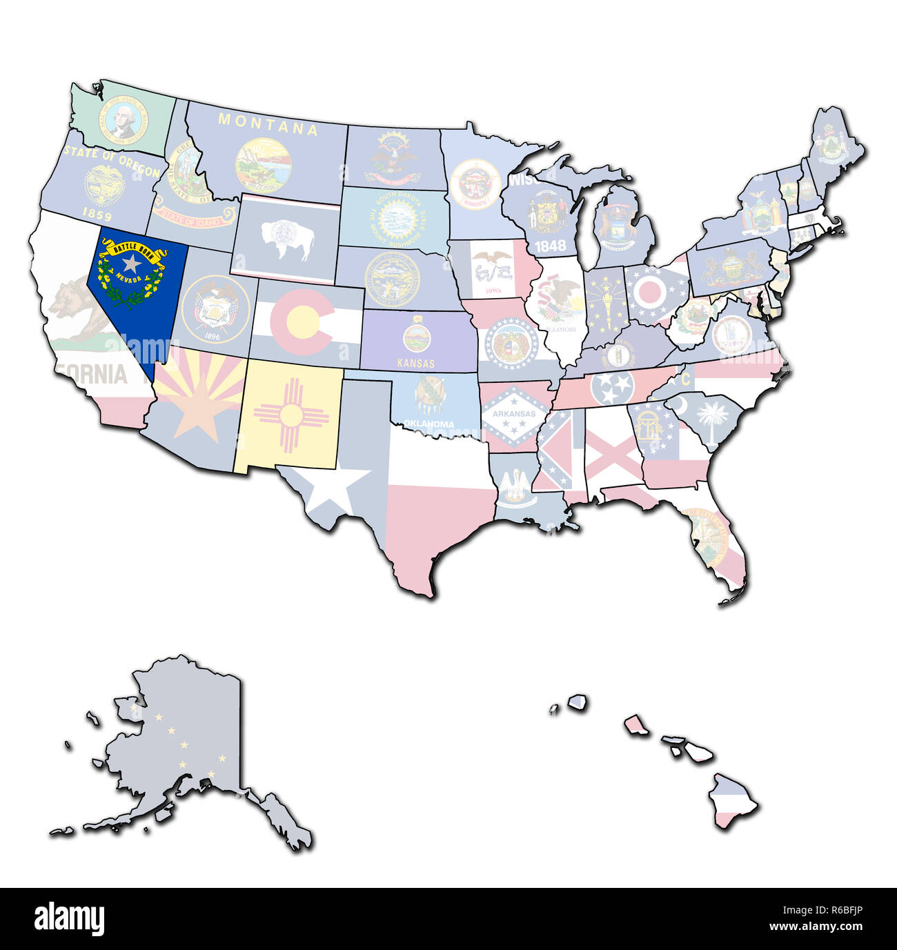 nevada on map of usa Stock Photohttps://www.alamy.com/image-license-details/?v=1https://www.alamy.com/nevada-on-map-of-usa-image227676478.html
RFR6BFJP–nevada on map of usa
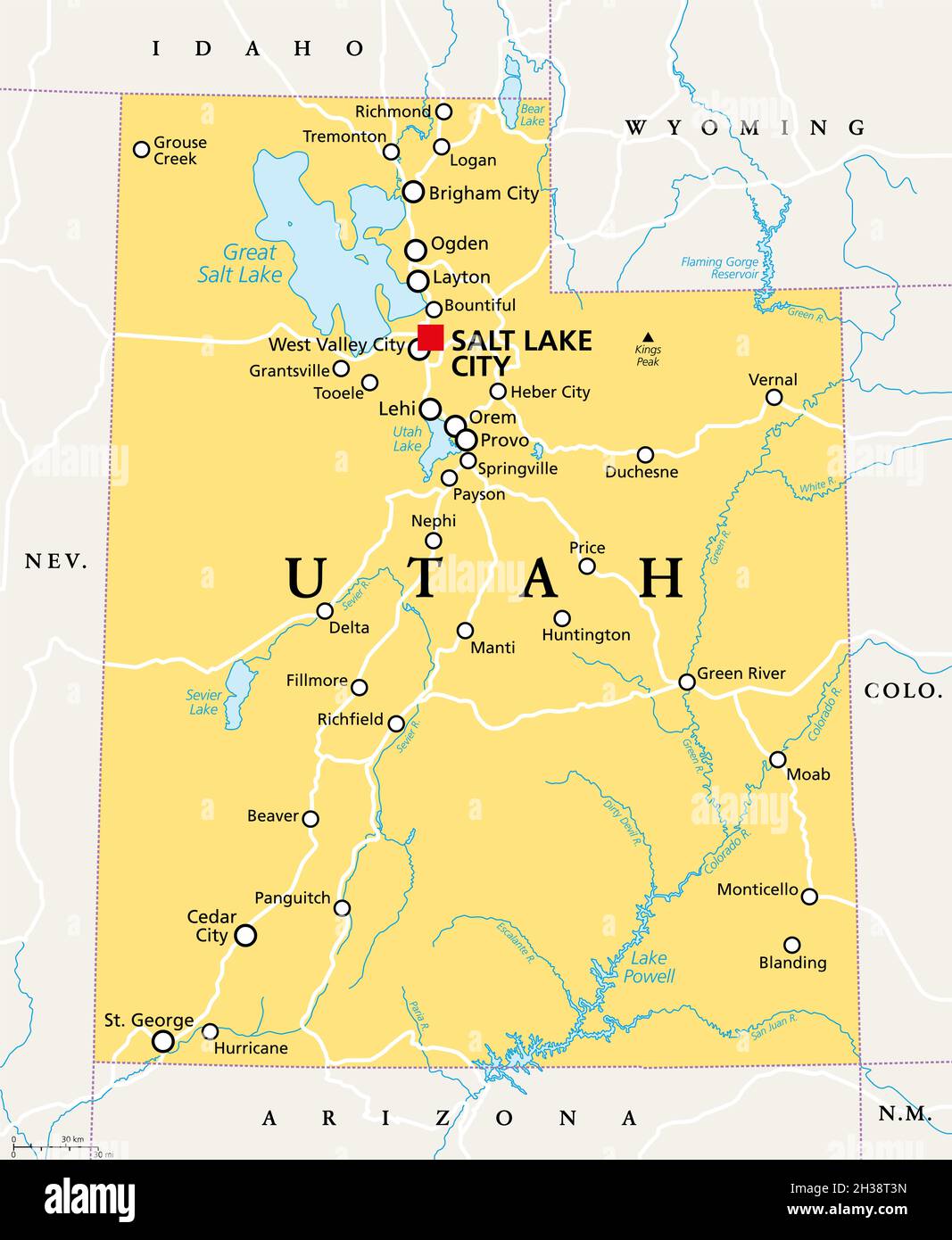 Utah, UT, political map, with the capital Salt Lake City. State in the Mountain West subregion of the Western United States of America. Beehive State. Stock Photohttps://www.alamy.com/image-license-details/?v=1https://www.alamy.com/utah-ut-political-map-with-the-capital-salt-lake-city-state-in-the-mountain-west-subregion-of-the-western-united-states-of-america-beehive-state-image449508073.html
RF2H38T3N–Utah, UT, political map, with the capital Salt Lake City. State in the Mountain West subregion of the Western United States of America. Beehive State.
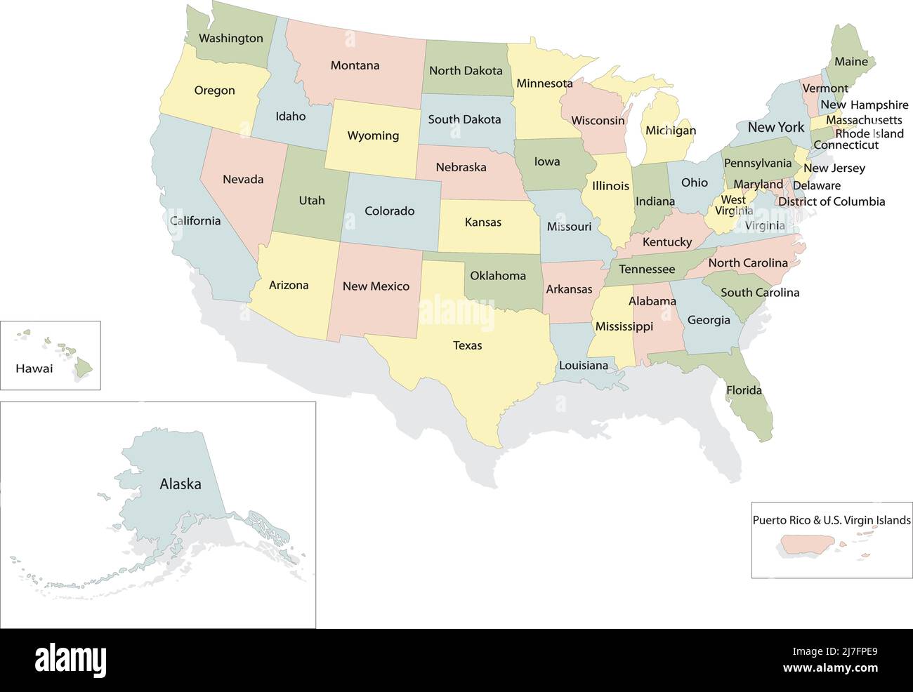 United states of America political map with drop shadow on white background Stock Vectorhttps://www.alamy.com/image-license-details/?v=1https://www.alamy.com/united-states-of-america-political-map-with-drop-shadow-on-white-background-image469329457.html
RF2J7FPE9–United states of America political map with drop shadow on white background
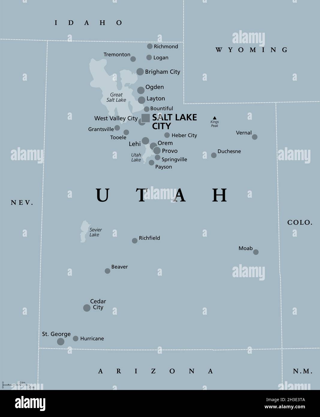 Utah, UT, gray political map, with capital Salt Lake City. State in the Mountain West subregion of the Western United States of America, Beehive State. Stock Photohttps://www.alamy.com/image-license-details/?v=1https://www.alamy.com/utah-ut-gray-political-map-with-capital-salt-lake-city-state-in-the-mountain-west-subregion-of-the-western-united-states-of-america-beehive-state-image449623898.html
RF2H3E3TA–Utah, UT, gray political map, with capital Salt Lake City. State in the Mountain West subregion of the Western United States of America, Beehive State.
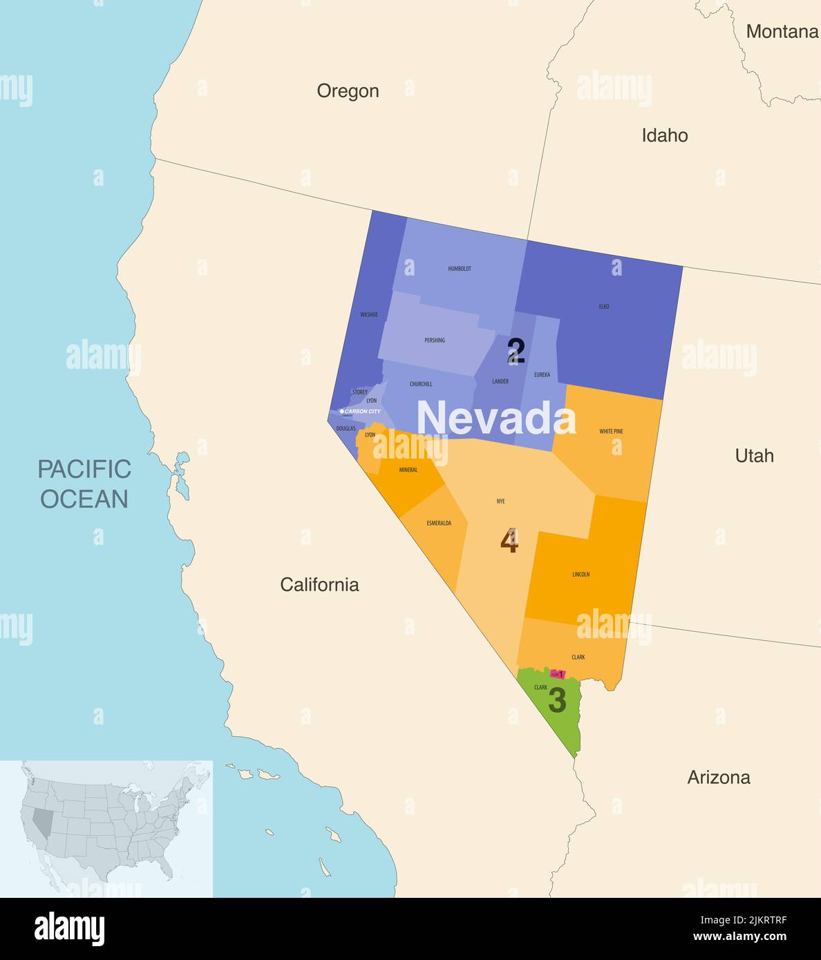 Nevada state counties colored by congressional districts vector map with neighbouring states and terrotories Stock Vectorhttps://www.alamy.com/image-license-details/?v=1https://www.alamy.com/nevada-state-counties-colored-by-congressional-districts-vector-map-with-neighbouring-states-and-terrotories-image476882771.html
RF2JKRTRF–Nevada state counties colored by congressional districts vector map with neighbouring states and terrotories
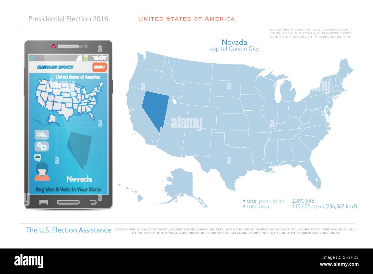 United States of America maps and Nevada state territory. vector USA political map. US election assistance app for smart phone. Stock Vectorhttps://www.alamy.com/image-license-details/?v=1https://www.alamy.com/stock-photo-united-states-of-america-maps-and-nevada-state-territory-vector-usa-113768959.html
RFGH2HD3–United States of America maps and Nevada state territory. vector USA political map. US election assistance app for smart phone.
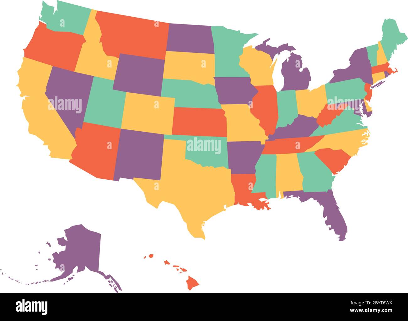 Political map of USA, United States of America, in four colors on white background. Vector illustration. Stock Vectorhttps://www.alamy.com/image-license-details/?v=1https://www.alamy.com/political-map-of-usa-united-states-of-america-in-four-colors-on-white-background-vector-illustration-image361335343.html
RF2BYT6WK–Political map of USA, United States of America, in four colors on white background. Vector illustration.
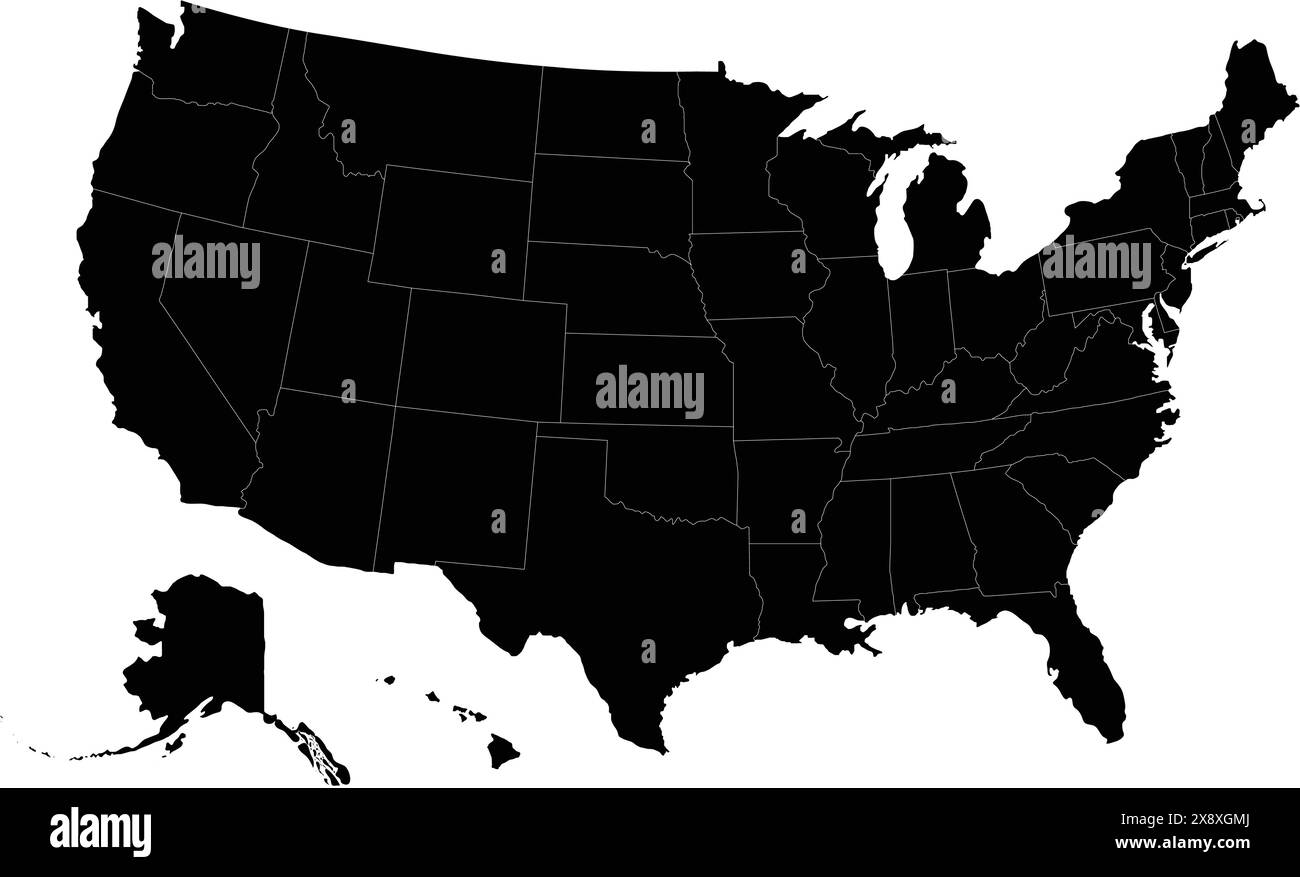 United States America country map vector Stock Vectorhttps://www.alamy.com/image-license-details/?v=1https://www.alamy.com/united-states-america-country-map-vector-image607864002.html
RF2X8XGMJ–United States America country map vector
 United States and Greenland flag ripped paper grunge background. Abstract USA and Greenland economics, politics conflicts concept texture background Stock Photohttps://www.alamy.com/image-license-details/?v=1https://www.alamy.com/united-states-and-greenland-flag-ripped-paper-grunge-background-abstract-usa-and-greenland-economics-politics-conflicts-concept-texture-background-image469873025.html
RF2J8CFRD–United States and Greenland flag ripped paper grunge background. Abstract USA and Greenland economics, politics conflicts concept texture background
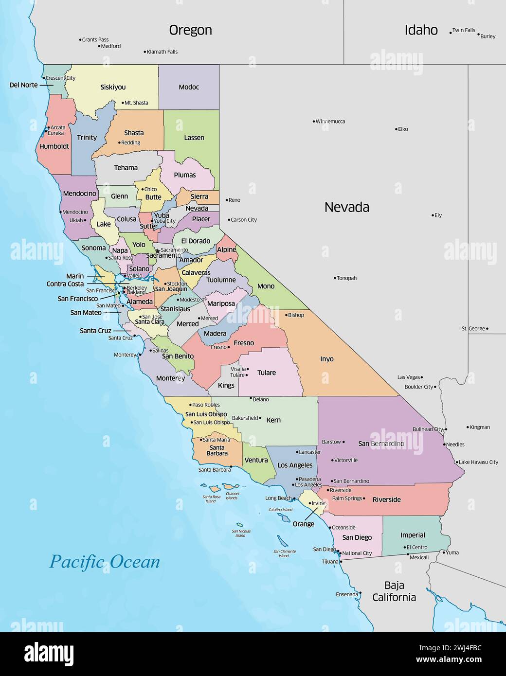 Colorful political map of the counties that make up the state of California located in the United States. Stock Photohttps://www.alamy.com/image-license-details/?v=1https://www.alamy.com/colorful-political-map-of-the-counties-that-make-up-the-state-of-california-located-in-the-united-states-image596316208.html
RF2WJ4FBC–Colorful political map of the counties that make up the state of California located in the United States.
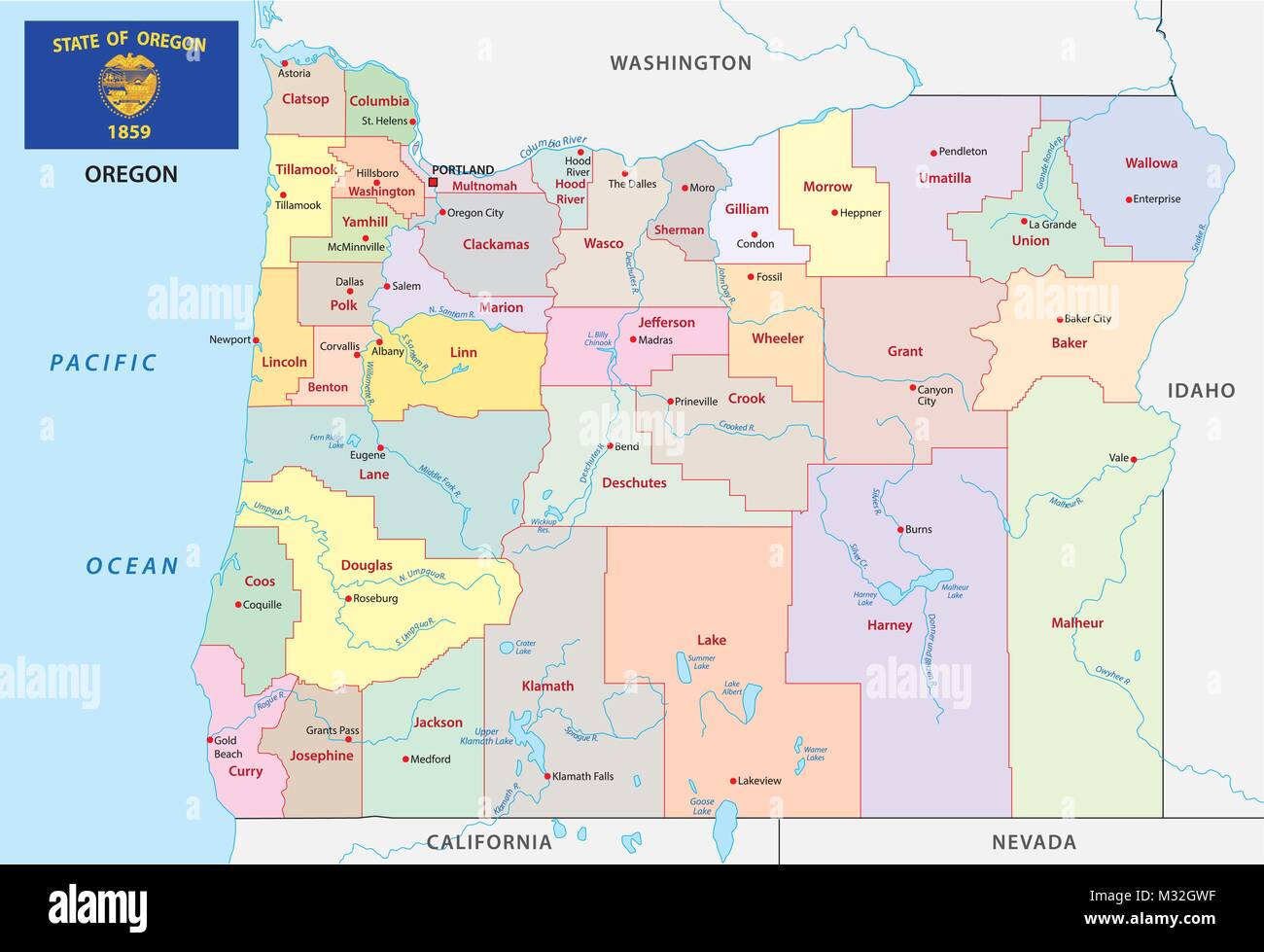 oregon administrative and political vector map with flag Stock Vectorhttps://www.alamy.com/image-license-details/?v=1https://www.alamy.com/stock-photo-oregon-administrative-and-political-vector-map-with-flag-174004811.html
RFM32GWF–oregon administrative and political vector map with flag