Scripts and tools I use daily for 3D computer vision research. Every script should be self-contained (not importing any local files) and using a limited number of external packages.
Following is a list of the scripts in this repository, roughly ordered by their functionality:
- blur_eval.py - Compute a blur metric (avg. of local std. dev.) for given images.
- img_img_psnr.py - Compute PSNR between two images.
- img_adj_gamma.py - Apply gamma correction on given a image.
- img_eqhist.py - Apply global histogram equalization or CLAHE on a given image.
- img_filt_bilat.py - Apply bilateral filter on a given image.
- img_filt_gauss.py - Apply Gaussian filter on a given image.
- img_filt_med.py - Apply median filter on a given image.
- color_view.py - Visualize a color in terminal based on RGB or HEX values.
- matplotlib_colormap.py - Get color samples from a Matplotlib colormap.
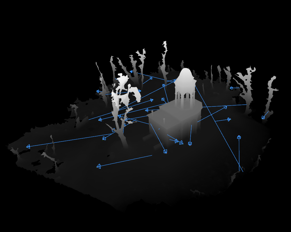
- cam_poses_environment.py - Sample camera poses for rendering of an outdoor or indoor environment 3D mesh model.
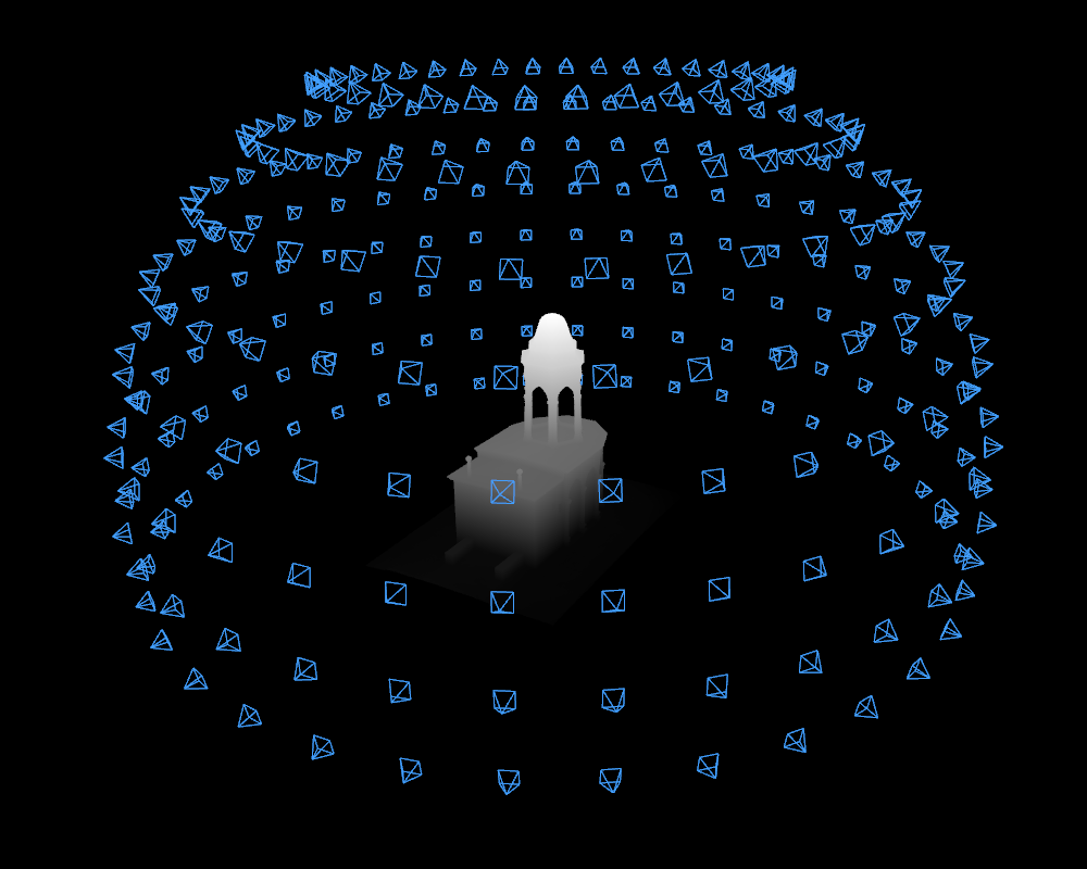
- cam_poses_object_centric.py - Sample camera poses for rendering of an object-centric 3D mesh model.
- depth_mode_change.py - Change the mode of a given depth map between distance from camera center and Z-distance from camera plane.
- depth_to_pc_in_colmap_frame.py - Convert depth map to point cloud, using the camera intrinsics and extrinsics from a given COLMAP model.
- noise_depth_maps.py - Add Gaussian noise (additive or multiplicative) to a given depth map.
- gpx_track2geojson_points.py - Convert a track in GPX file to time-labelled point set in GeoJSON format.
- img_gnss2geojson.py - Export GNSS data from EXIF to GeoJSON format.
- img_has_gnss.py - Check if given images have GNSS data in their EXIF.
- dji_srt_tools.py - Parse DJI SRT file (containing flight log data) and sample frames from a corresponding video. Export the spatio-temporal data in EXIF of the video frames and in GPX or GeoJSON format.
- mask_change_format.py - Change format of a given binary mask between formates accepted by I-NGP and Nerfstudio.
- mask_invert.py - Invert the given binary mask.
- mask_to_alpha.py - Move a given binary mask to the alpha channel of a given image.
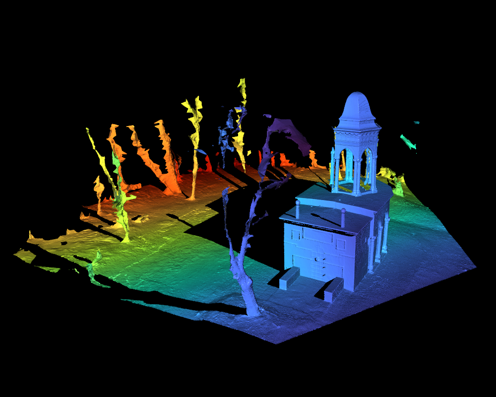
- mesh_dist.py - Visualize distances between two mesh models and report distance statistics.
- vis_cam_poses.py - Visualize camera poses in 3D space.
- vis_depth.py - Visualize and export a given depth map as a colored image or a 3D point cloud.
- compare_meshes.py - Visualize multiple 3D mesh models for easy visual comparison.
- model_centroid.py - Compute the location of center and parameters of bounding box of a given 3D mesh model.
- subsample_pc_meshlab.py - Subsample a given point cloud using Meshlab API.
- geotiff2ply.py - Convert a surface height map in TIFF format to a 3D mesh in PLY format.
- renderer_o3d.py - Render a 3D mesh model from given camera poses using Open3D.
- colmap/bundler2colmap.py - Convert a Bundler sparse SfM model to COLMAP format.
- colmap/nvm2colmap.py - Convert a VisualSFM NVM sparse SfM model to COLMAP format.
- colmap/colmap_basenames.py - Rename images in a given COLMAP model to their basenames.
- colmap/colmap_flatten_dirs.py - Flatten the directory structure of a given COLMAP model and images, moving the relative paths to the names of the images.
- colmap/colmap_undist.py - Undistort a given COLMAP model and images.
- colmap/colmap_resize.py - Change the size of the cameras in a given COLMAP model.
- colmap/colmap_change_cam_model.py - Change the camera model of all cameras in a given COLMAP model.
- colmap/colmap_merge_similar_cameras.py - Merge cameras in a given COLMAP model that are similar to each other.
- colmap/colmap_mult2single_cam.py - Replace multiple camera models in a given COLMAP model with a single one using the average of the original parameters.
- colmap/colmap_align_cam_sets.py - Take two sparse COLMAP models whose cameras are transformed by a common transformation relative to each other and align them to a common coordinate frame.
- colmap/colmap_covis_divide_scene.py - Divide a given COLMAP model into submodels based on the covisibility between the cameras.
- colmap/colmap_find_covis_cams.py - Return a subset of a given COLMAP model that contains only the cameras that are covisible with the given camera.
- colmap/colmap_subset.py - Create a subset of a given COLMAP model based on a list of image names or an image directory.
- colmap/imgs_subset_by_colmap.py - Create a subset of a given image directory based on the images in a COLMAP model.
- colmap/colmap_merge_models.py - Merge multiple COLMAP models into a single model.
- colmap/colmap_vis_rerun.py - Visualize a COLMAP model and optionally also a mesh model using Rerun SDK.
Example visualizations produced by the scripts:
| cam_poses_environment.py | cam_poses_object_centric.py |
 |
 |
| vis_cam_poses.py | compare_meshes.py |
 |
 |
| vis_depth.py depth map | vis_depth.py point cloud |
 |
 |
| mesh_dist.py | - |
 |
- |