Outbreak Navigator is an interactive map application that utilizes various Google APIs to provide real-time updates and information about essential locations during crisis situations, like the COVID-19 pandemic. This project was inspired by the crowdsourcing nature of mapping apps like Waze, but with a twist on the importance of crowdsourcing during a crisis.
- The initial map state is based on data filtered on the server from the Google Places API


- Each place contains a modal that reflects basic information about the place
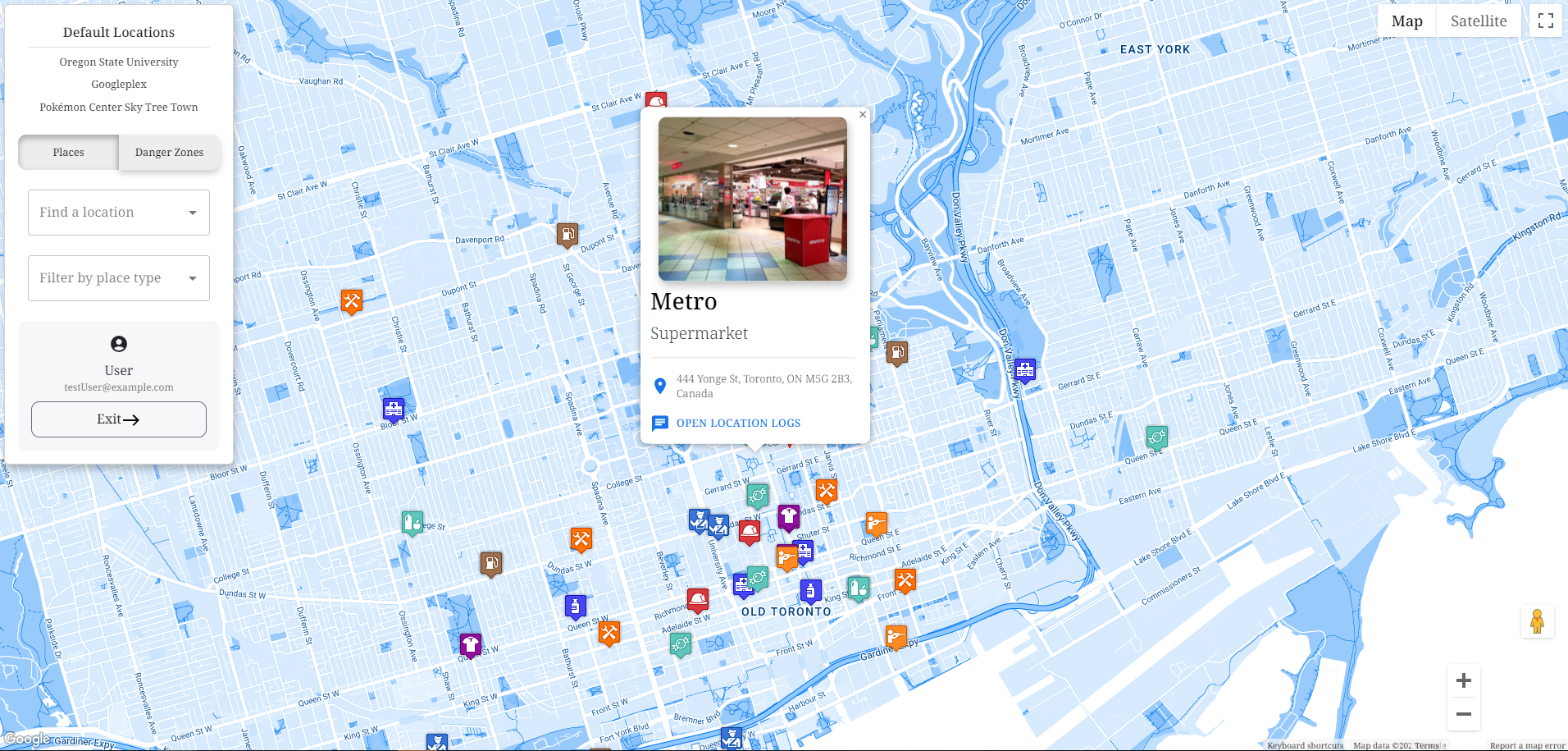

- A chat log appears with time stamped information from people at the location


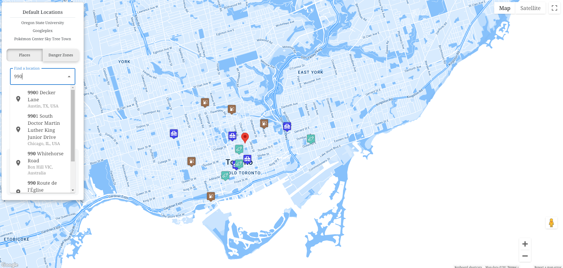
- Users can filter the map further on the client


- Populates the map with GeoJSON polygons based on worldwide population density data.


- Autocomplete Feature: For searching any global address.
- Default Locations: Includes places like the OSU campus, Googleplex offices, and major stores in Japan.
- Drag and Drop: Functional map pins for easy navigation.

- Frontend: React, Material UI, Bootstrap
- Backend: Node.js, Express.js
- APIs: Google Places, Google Maps, Google Geocode
- Database: MySQL
- Tools: Postman, Vite
- Reducing API costs by implementing caching.
- Enhancing data handling for better production efficiency.