Interactive maps using Mapbox GL and Deck.gl
install.packages("mapdeck")Version v0.1.006+ sees quite a lot of changes, so I need users to test their functions and report any errors.
To use the development version you need some other development dependant libraries
## install dependent libraries first
devtools::install_github("SymbolixAU/geojsonsf", force = T)
devtools::install_github("SymbolixAU/spatialwidget", force = T)
devtools::install_github("SymbolixAU/googlePolylines", force = T)

## then mapdeck
devtools::install_github("SymbolixAU/mapdeck")Mapdeck uses Mapbox maps, and to use Mapbox you need an access token.
Once you’ve generate a token you can use their maps.
Call mapdeck(token = 'your_token') to generate a basic map. Then start
adding layers by using one of the various add_*()
functions.
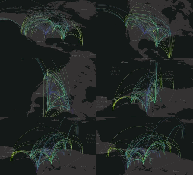
url <- 'https://raw.githubusercontent.com/plotly/datasets/master/2011_february_aa_flight_paths.csv'
flights <- read.csv(url)
flights$info <- paste0("<b>",flights$airport1, " - ", flights$airport2, "</b>")

mapdeck(token = key, style = mapdeck_style('dark')) %>%
  add_arc(
    data = flights
    , origin = c("start_lon", "start_lat")
    , destination = c("end_lon", "end_lat")
    , stroke_from = "airport1"
    , stroke_to = "airport2"
    , tooltip = "info"
    , layer_id = 'arclayer'
)- arc
- geojson
- grid
- hexagon
- line
- path
- pointcloud
- polygon
- scatterplot
- screengrid
- text
Mapdeck is also an htmlwidget, so will work in a shiny application.
Examples of all plots and shiny can be found in the vignette

