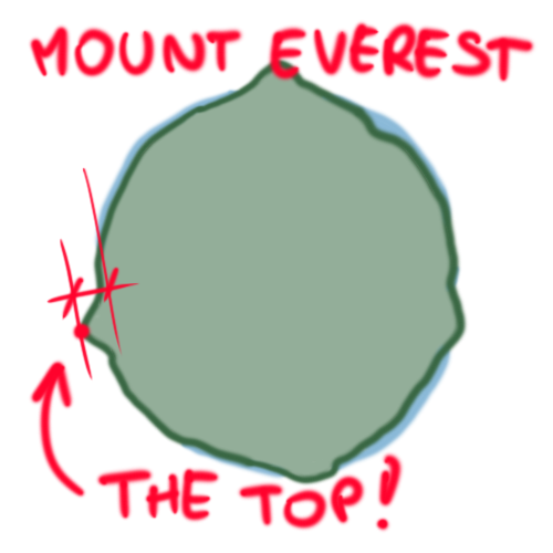
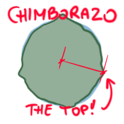
I just wanted to proof that your country is the top of the world. Do you know that the highest point of the Earth is Mount Everest? Yeah, you probably already know that. But did you know that the farthest point from the center of the Earth is NOT Mount Everest? It's Chimborazo in the Andes! And it's more than two kilometers lower than Mount Everest.
 |
 |
|---|
How is is possible? Earth's surface is not a perfect sphere. It's more like a football when you sit on it. Poles ale actually closer to the center of the Earth than some equator places.
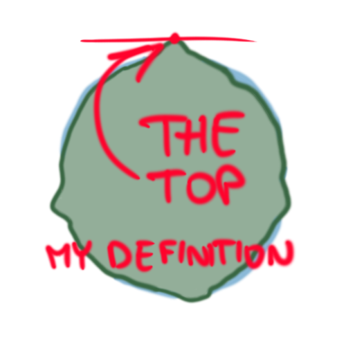
Okay! But how that will make your country the top? See, there are already at least two definitions of the top of the world. Let's see my definition!
 |
 |
|---|
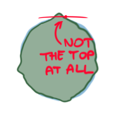
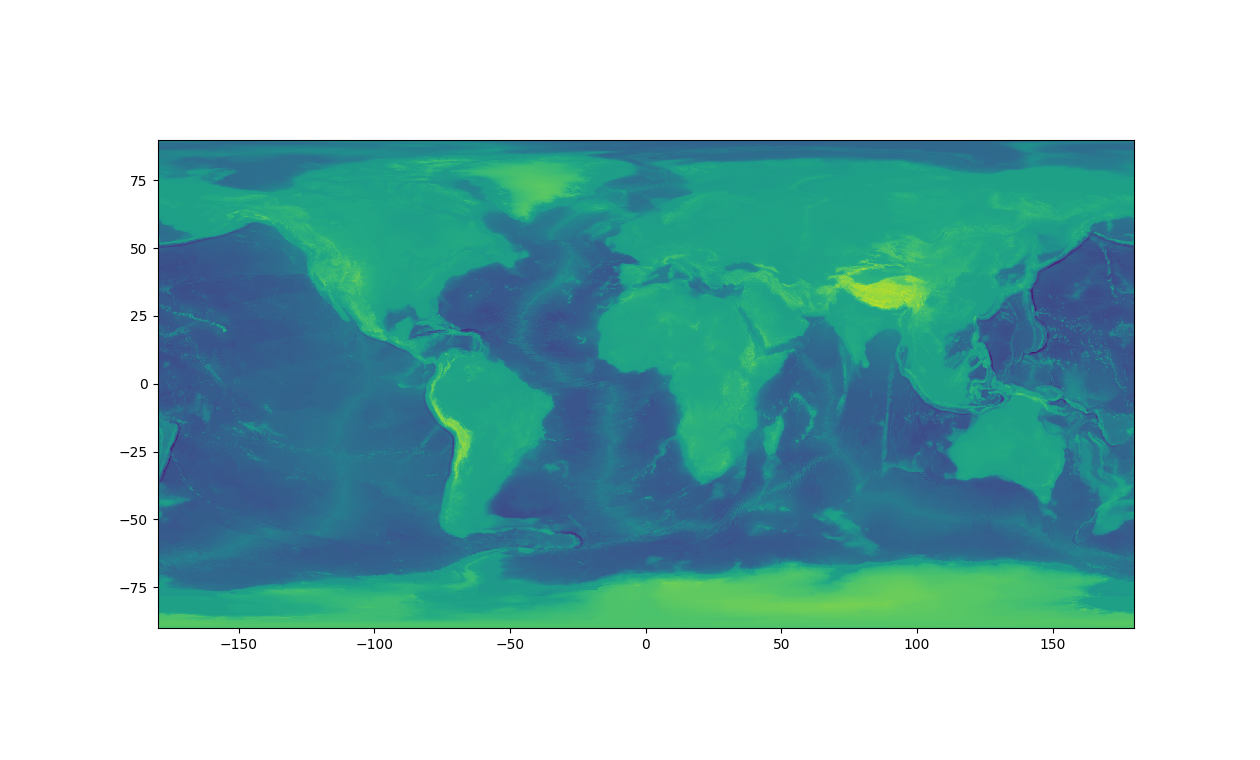
If someone stands at some point of the Earth and all of other points are literally below them it makes this point the top. It seems like the easiest top definition you can imagine.
Points on the map marked with yellow square could be interpreted as the tops of the world.
 |
 |
|---|
My computer cannot handle higher resolution (it already took about an hour to compute). It seems that the Earth is much rounder than spiky. I mean almost all the land here could be interpreted as the top of the world. Let's dig deeper!
 |
 |
|---|
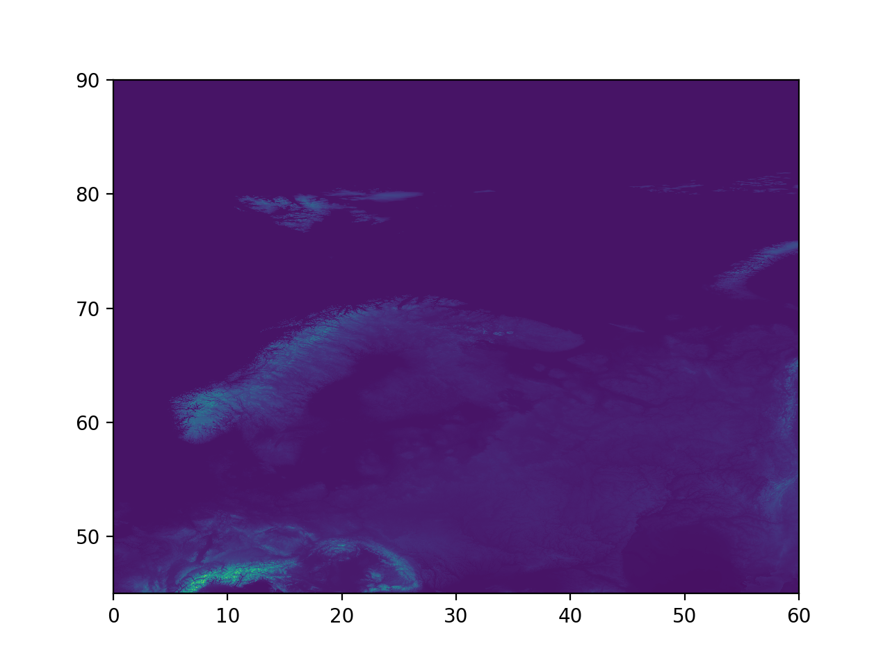
On the Europe map we can see some mountains and their shadows. If there is some point near the mountain it cannot be the top. The mountain (or the land on the other side) is always higher.
 |
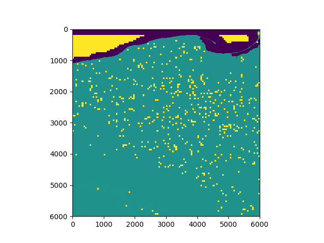 |
|---|
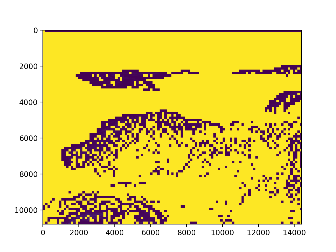
There is a piece of Poland map. We can see that some higher parts (bottom-left) are the tops - you can see some few yellow boxes here. Around the upland there are no tops. This part of land is in the shadow of the hills. Not far away we can see multiple of yellow boxes. It means that Earth is round enough to stay here and be at the top of the world. The hills are below this points.
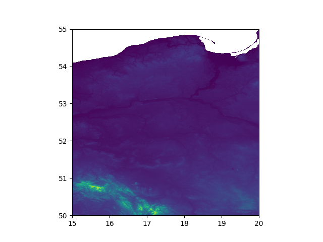
Look also at the coeast area! See how close to the coast the sea could be interpreted as the top!
If you can see some bug or bad habit, tell me! It's my first Python script so just tell me how it should be done to match the best practises. Feel free to create some issue.
If you want to check also your country just load the GeoTIFF image with a map of your country. Here are some resources: