AVIATOR is an open-source app related to aviation. It consists of various statistics and visualization tools, based on web scraping (mainly) wikipedia.com. Additionally, it features a simple flight-tracker that runs on a local host.
Currently AVIATOR is under development.
In order to run the flight-tracking app, run the module 'flight_tracker.py' (e.g. in your console) and select the following input parameters at the end of the file:
- api = 'flightradar' (the API which is used to get the airplane data, currently only flightradar is implemented)
- dt = 5000 (the time delta that is used to update the API data)
- port = 9999 (any unused port will do)
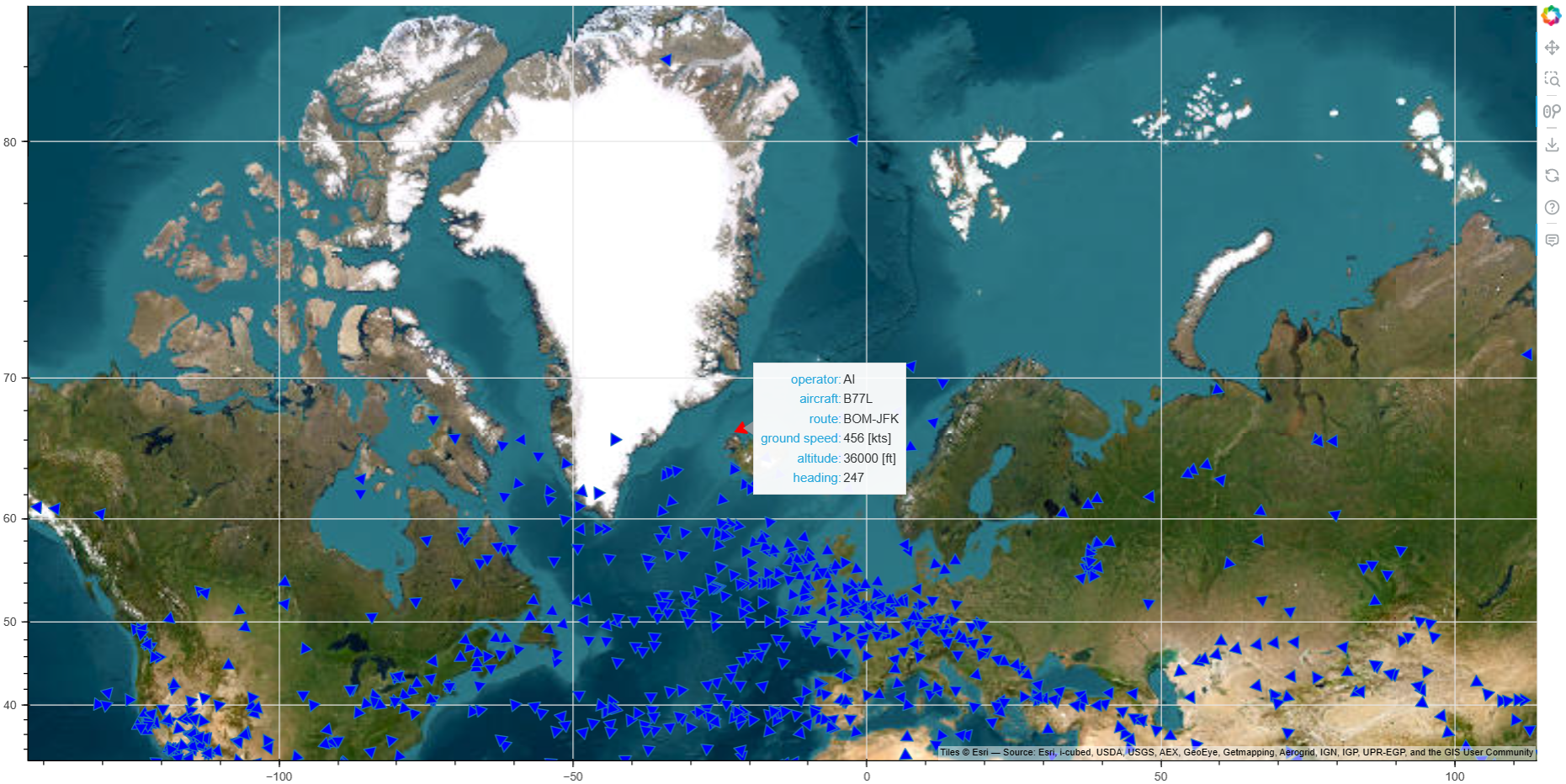
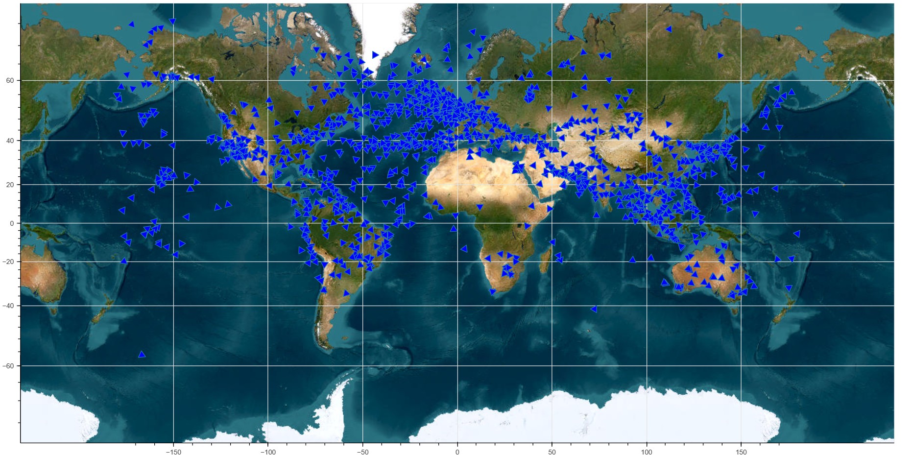
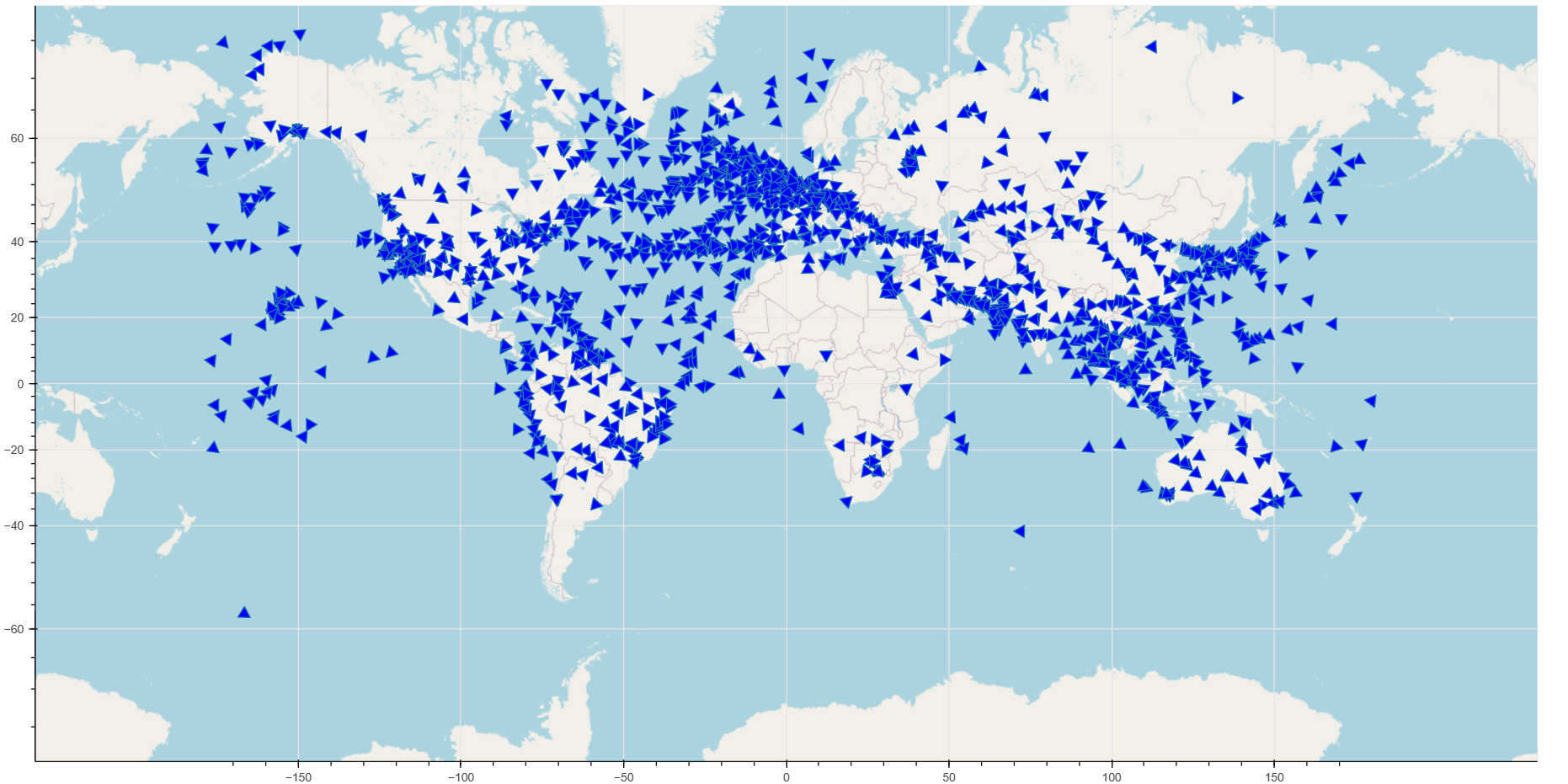
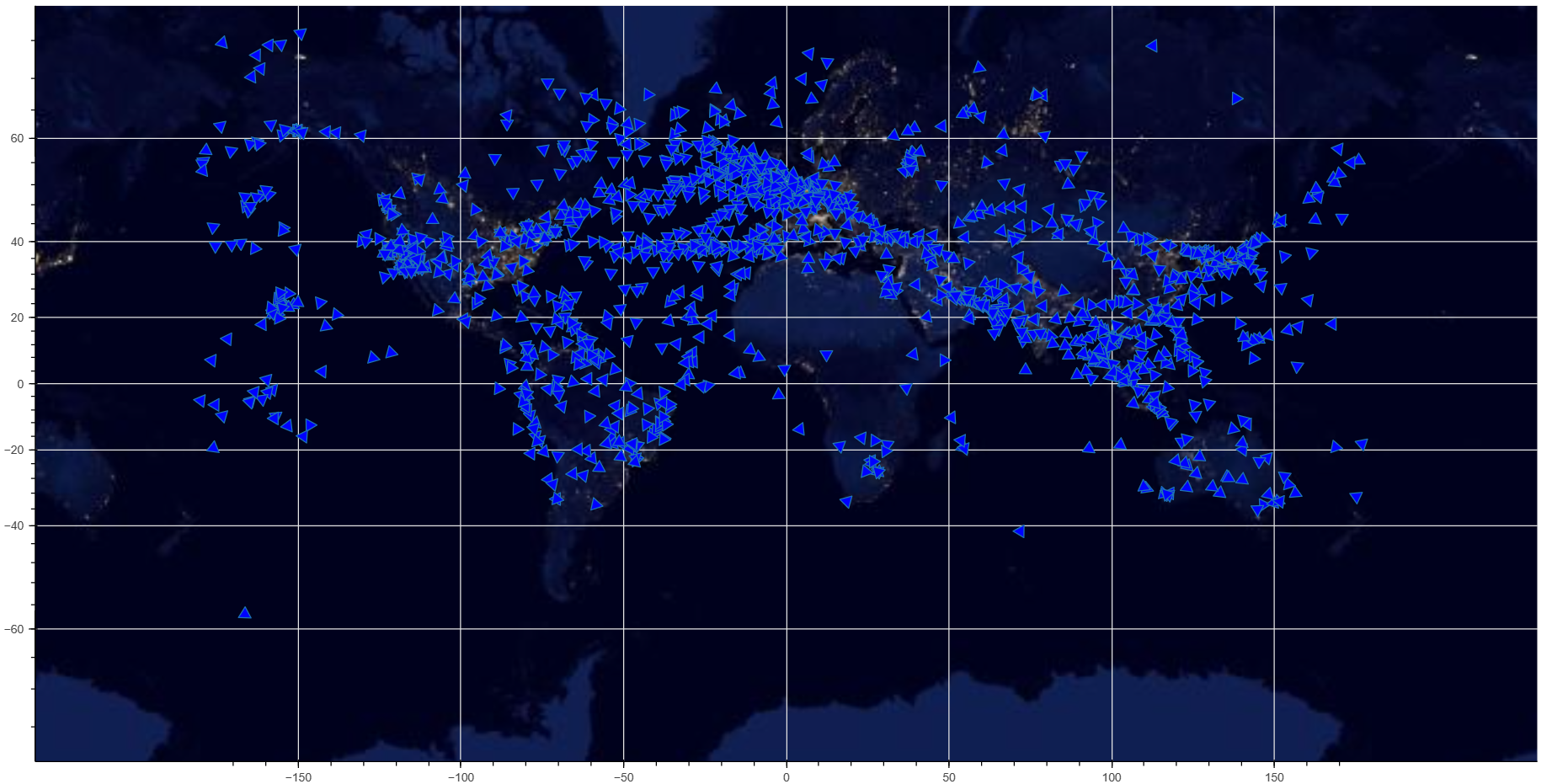
- worldmap = 'esri' (alternatively you can use 'osm' or 'nasa', examples see below)
Then your default browser should open automatically showing the corresponding worldmap and the airplanes' movements.
Hovering over a triangle highlights the flight in red, showing some flight data. In this example, the operator AI stands for Air India and the flight is from Mumbai (Bombay) to New York (JFK). The aircraft is a Boeing jet 777-200LR/777F (ICAO designation B77L), currently close to Iceland while heading 247° (south-west), with a ground speed of 456 kts at an altitude of 36,000 ft.

In order to use the visualization data, run the module 'airport_map.py' in your console. This module shows the selected airports on a world map. Specify the airports you want to see on your map by adding the IATA airport code (e.g. 'SIN' for Singapore Changi in the 'airport_list' ('_01' or '_02' or rename as you wish) and make sure that this list is taken as argument in one of the following commands:
- plot_airport_map_basic
- plot_airport_map_enhanced
- plot_airport_map_basic_interactive
Note that an empty list will plot all available airports (available in the file 'data/airport_list_with_stats.csv' in the data-folder). The function 'plot_airport_map_enhanced' offers the possibility to visualize the amount of passengers, aircraft operations, and cargo (by specifying type_ = 'PAX' or 'OPs' or 'Cargo'). The function 'plot_airport_map_basic_interactive' will use the folium-module for the map. Specifying the option 'savefig' = True or False will either plot or save the desired figure.
The data is scraped from wikipedia.com. The web scrapers are located in the files
- aircraft_data.py (for aircraft data)
- airlines_data.py (for airline data)
- airport_data.py (for airport data).


