Home Page
Welcome to the aerial-image-segmentation wiki!
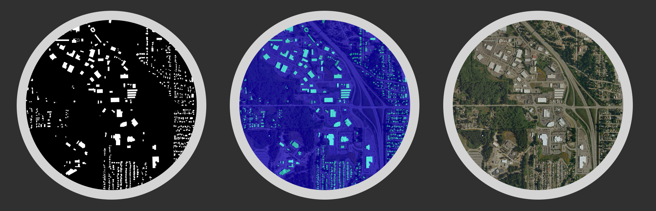
Aerial-Image-Segmentation-with-PyTorch
Aerial Image Labeling addresses a core topic in remote sensing: the automatic pixel-wise labelling of aerial imagery. The UNet leads to more advanced design in Aerial Image Segmentation. Future updates will gradually apply those methods into this repository.
This repo used only one sample (kitsap11.tif ) from the public dataset (Inria Aerial Image Labelling ) to demonstrate the power of deep learning.
Data processing steps and codes can be find in this file. The original sample has been preprocessed into 1000x1000 with 1.5 meter resolution.