This project is maintain no longer if you want to work or used it please contact me. In order to get insight of this project check out the presentation
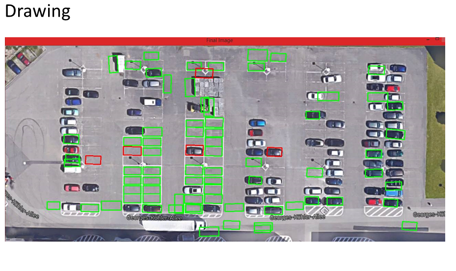
This is the code to detect the parking space for the car given 2D image from the google maps and 3D point Cloud data of the current enivornment.
This project was made for the purpose of the AIS LAB.
This repository contains:
- 2D Lane Detection
- 3D parking detection
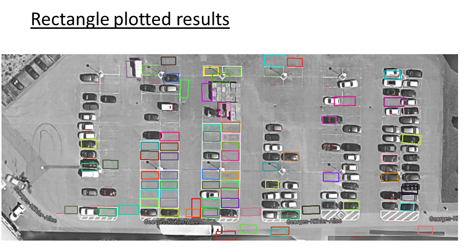
- Initial data 2D image taking from the google image and plotting the lines using OpenCV

-
Applying filters to enhance the lines of the parking spots
-
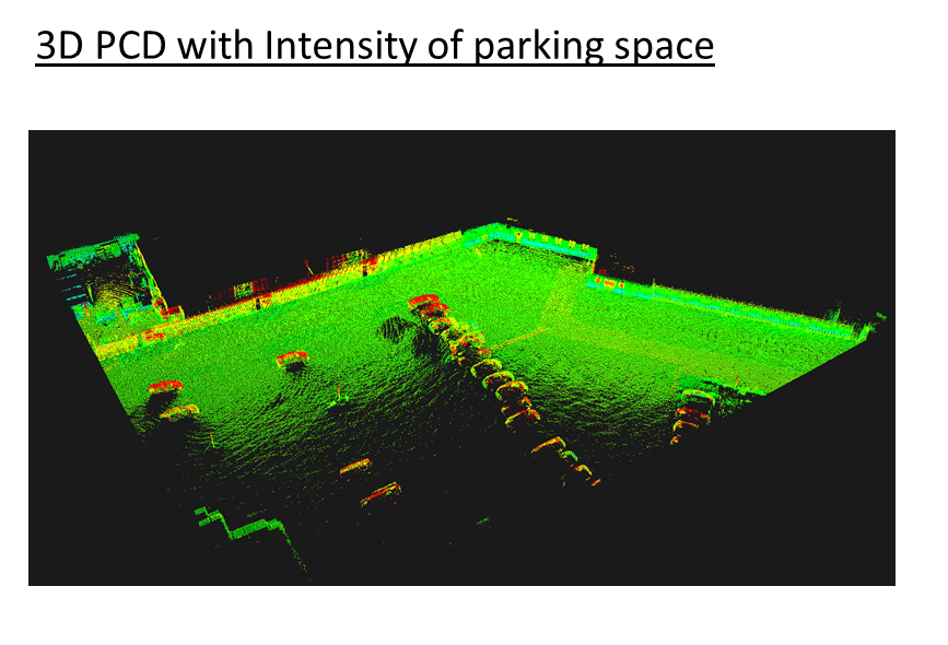
3D data of the parking area collected by laser sensors and then used using Point Cloud Library
-
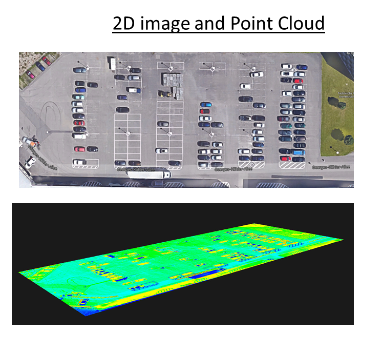
Converting 2D image to 3D space so later it can be combine with 3D data
-
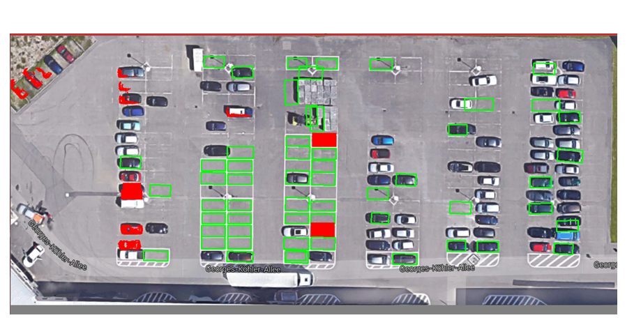
Applying machine learning algorithm, linear regression to detect parking spots in 3D space and combining it with the 2D image data
-
Enchancing result by Applying logistic regression


For this project to run you need:
- Visual Studio 2012
- OpenCV 3.0
- Point Cloud Library