Mentor: Ing. Ondřej Ploc, Ph.D. (ODZ ÚJF AV ČR)
How is cosmic radiation detected on aircraft? What is the relationship between radiation intensity, altitude, and geographical location? How is the radiation exposure of aircraft crews evaluated? During this mini-project, we will attempt to answer these questions and more. If weather conditions permit, the project will include a measurement flight with a radiation detector reaching an altitude of 4000 meters.
- To understand the detection methods of cosmic radiation on aircraft.
- To analyze the variation of radiation intensity with altitude and geographical location.
- To assess the radiation exposure of aircraft crews using collected data.
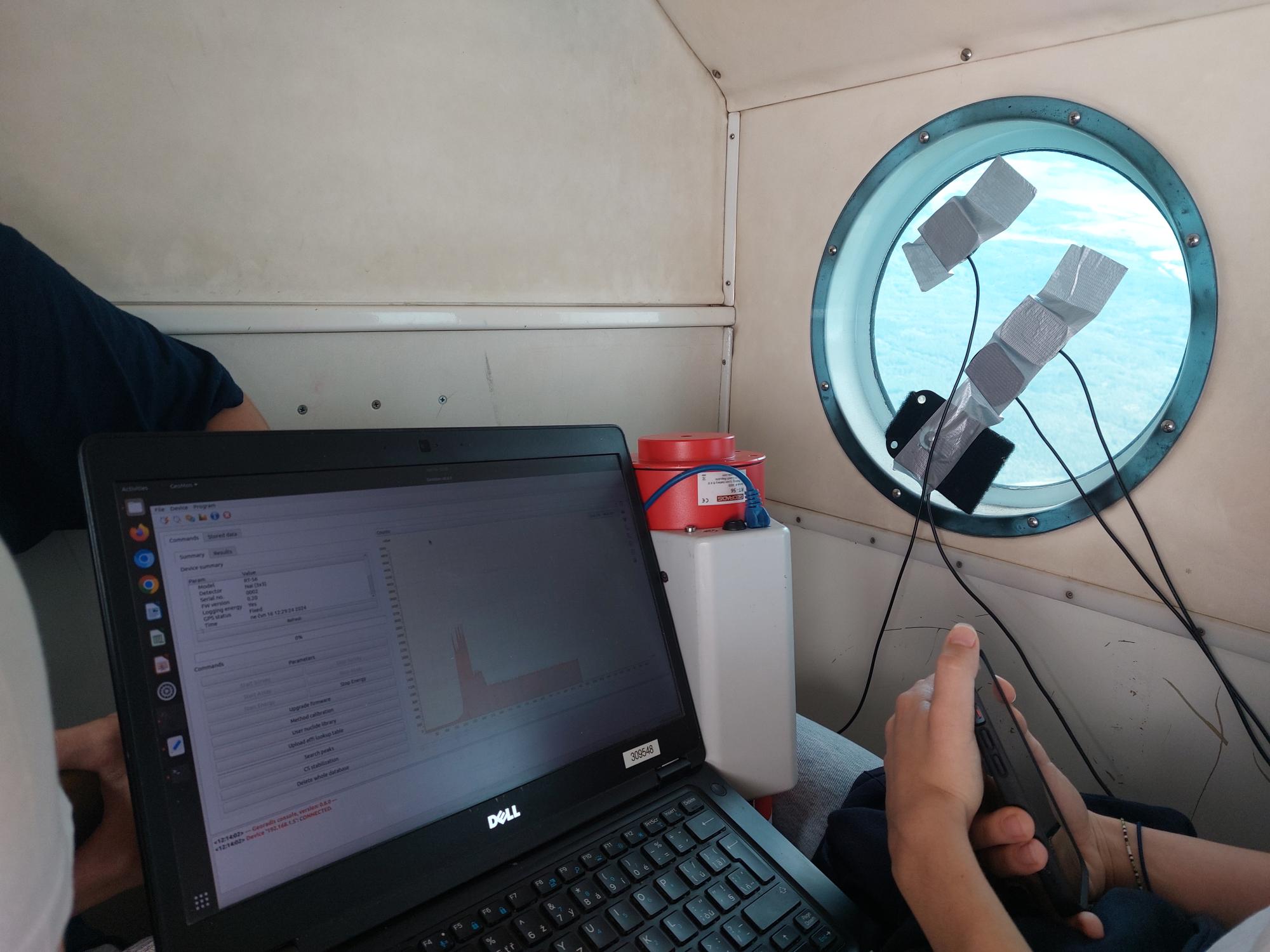
Several instruments were onboard to measure cosmic radiation:
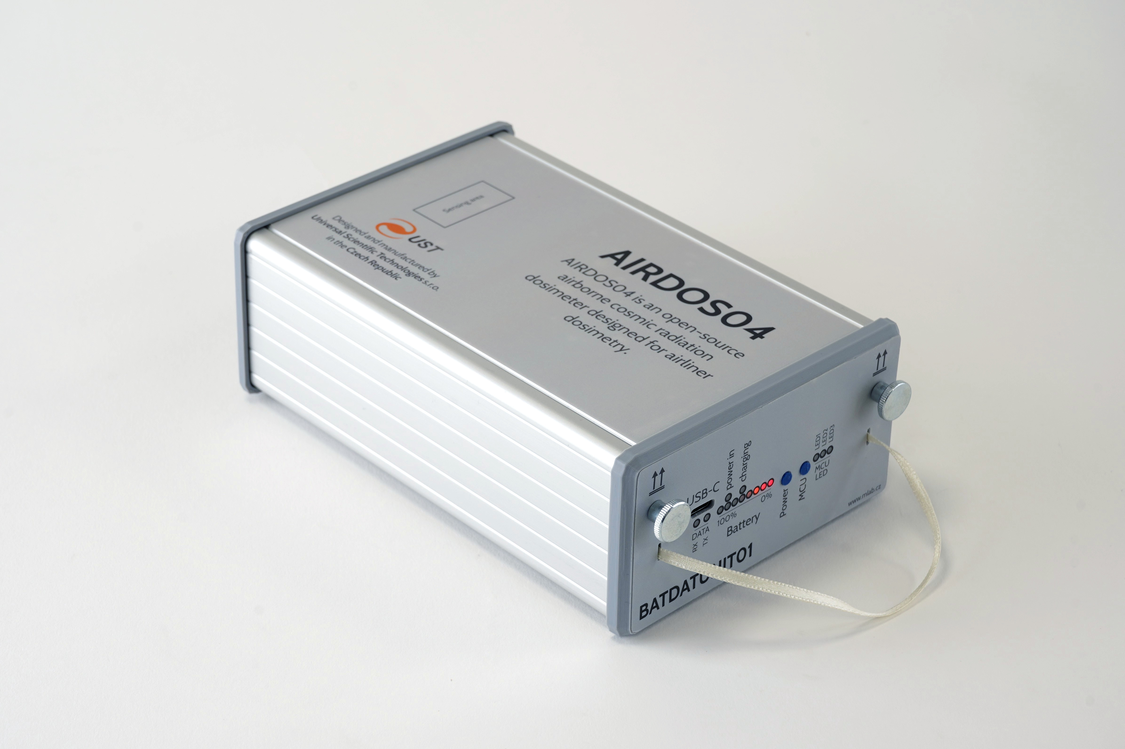
The AIRDOS04 is a dosimeter specifically designed for measuring ionizing radiation in aviation environments. This device is tailored to monitor radiation levels encountered during flights at high altitudes, providing essential data for assessing the exposure of both passengers and crew. The AIRDOS04 is capable of detecting various forms of ionizing radiation, including gamma rays, and is built to operate reliably under the conditions found in aircraft. Its measurements help in understanding the radiation environment at different flight levels and can be used to evaluate the potential health risks associated with prolonged exposure to cosmic radiation during flights.
LABDOS01 is a versatile dosimeter used for the precise measurement of ionizing radiation. While it is often used in laboratory settings, its robust design makes it suitable for field use, including on aircraft. During the flight, LABDOS01 units were used to gather additional data alongside the AIRDOS04 devices.
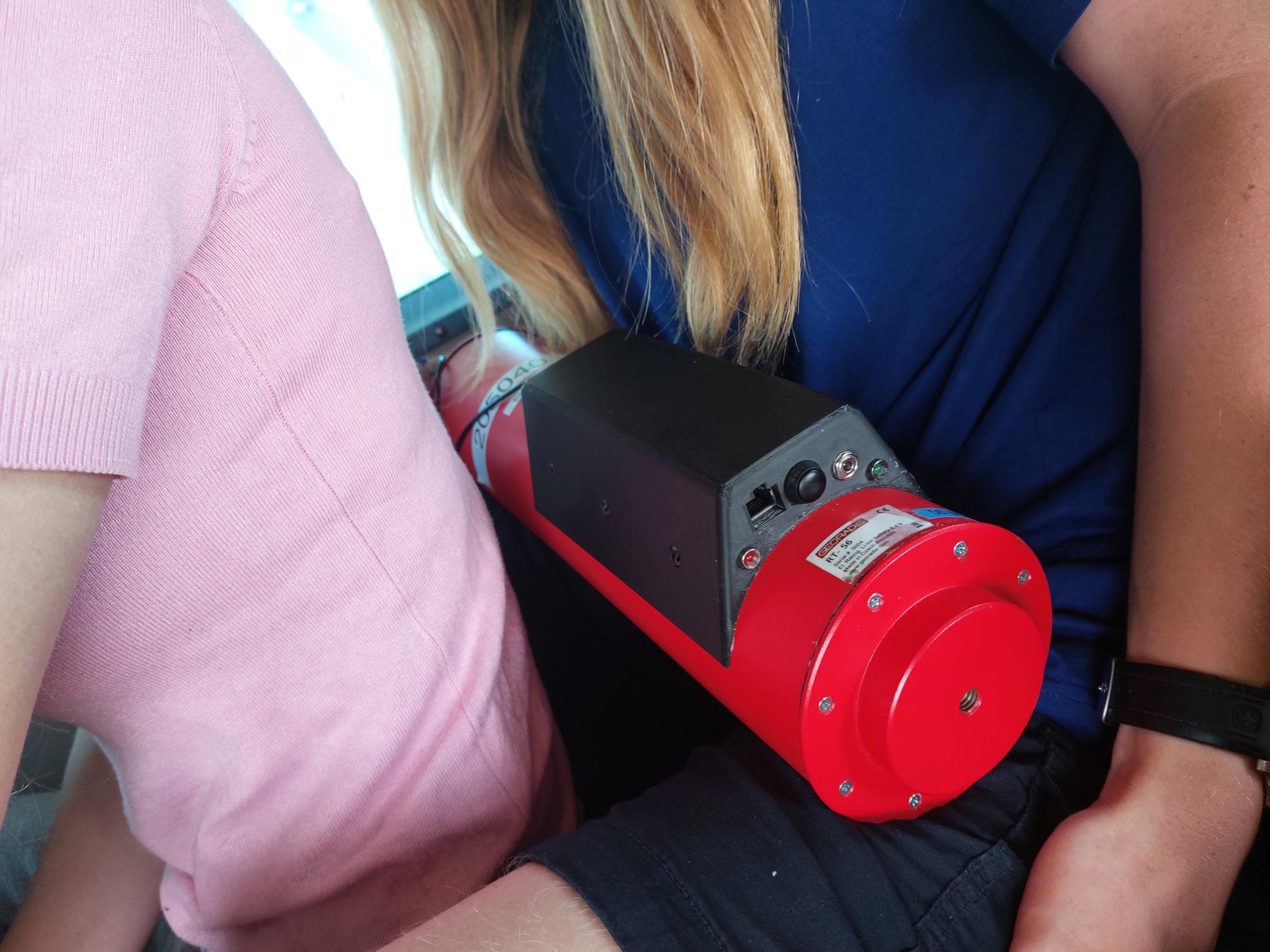
The Georadis RT-56 is an scintilator based gamma-ray spectrometer designed for long-term gamma radiation monitoring. It includes a CPU for data acquisition, and communication. The device is able to work from internal batteries, which is useful for long duration measurements on various sites.
The HAWK detector is an aerial gamma spectrometer designed for locating radionuclide sources and estimating their activity. It is part of a calibration model that includes the D230A spectrometer with two NaI(Tl) 2 × 2 inch detectors. The device has been calibrated for various radionuclides at flight altitudes ranging from 1 to 25 meters.
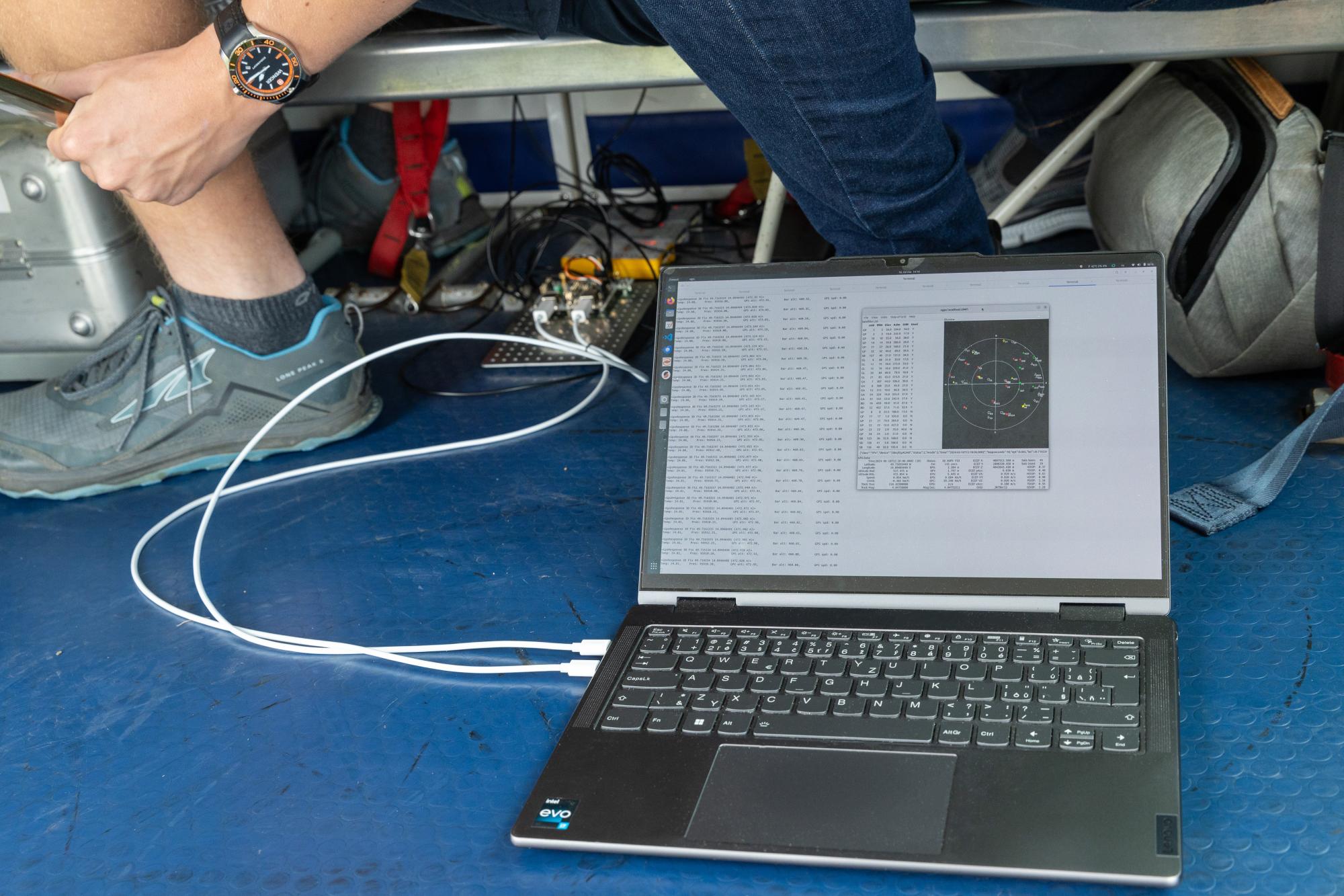
The barometric pressure was measured using the MLAB I2C sensor ALTIMET01. This sensor is designed to accurately measure atmospheric pressure, which can be used to determine altitude. The ALTIMET01A provides high-resolution pressure readings, making it suitable for applications requiring precise altitude calculations, such as aviation.
In addition to the barometric sensor, the flight data included positional information provided by the MLAB GPS sensor GPS02B. This GPS module offers accurate geographic coordinates, including latitude, longitude, and altitude, which are essential for tracking the flight path and correlating with the barometric altitude measurements. The GPS02B ensures that the positional data is accurate and reliable, supporting comprehensive analysis of the radiation measurements in relation to the aircraft's altitude and location.
The data from the barometric sensor ALTIMET01A and the GPS module GPS02B were logged using a computer with Python script, using PyMLAB python library.
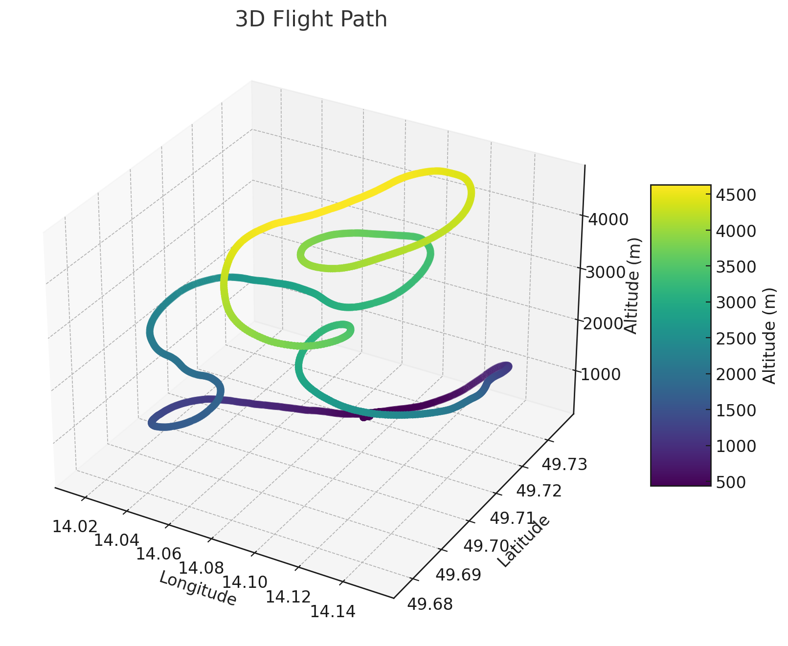
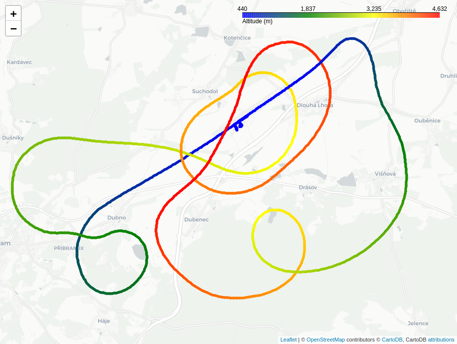
This measurement flight was conducted on June 16, 2024, 14:25:50 CEST (12:25:50 UTC; takeoff-time), from the Příbram Airport. Dlouhá lhota, near to Příbram city. This flight resembled those typically used for skydiving jumps. The aircraft ascended to an altitude of approximately 4000 meters, providing an ideal environment for detecting cosmic radiation. Used aircraft was Pilatus PC-6 Turbo-Porter. All participants of the experiment were asked to switch their phones to airplane mode and verify that all transmitters were turned off.
The graph below illustrates the altitude profile of the flight, showcasing data from both barometric (BAR) and GPS measurements. Profile with a peak altitude of around 4000 meters.
The desired outcome of the "Týden Vědy Na Jaderce" project is a article written by the participating students. This article, written in Czech, encapsulates their findings and experiences from the experiment. You can view the article as a PDF here.


