Massive airborne laser altimetry (ALS) point cloud and digital elevation model (DEM) processing library.
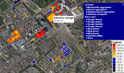
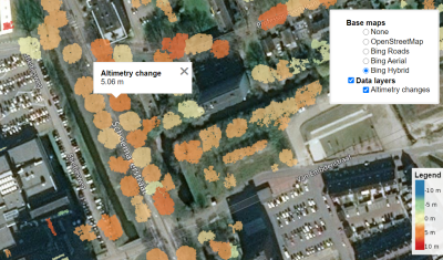
The toolset supports change detection of the built-up area and vegetation, tested primarily on the study dataset AHN - Actueel Hoogtebestand Nederland.
The project is continuously built and tested on Windows 10/11 and Ubuntu 20.04/22.04 LTS.
See the Build instructions for a detailed guide.
An interactive visualization of changes in buildings and vegetation for the Dutch AHN point clouds is available at:
https://gis.inf.elte.hu/ahn/
- Máté Cserép, Roderik Lindenbergh: Distributed processing of Dutch AHN laser altimetry changes of the built-up area, International Journal of Applied Earth Observation and Geoinformation, Vol. 116 , Article 103174, 2023, DOI: 10.1016/j.jag.2022.103174
- Anett Fekete, Máté Cserép Tree segmentation and change detection of large urban areas based on airborne LiDAR, Computers & Geosciences, Vol. 156 , Article 104900, 2021, DOI: 10.1016/j.cageo.2021.104900
Please read CONTRIBUTING.md for details on coding conventions.
This project is licensed under the BSD 3-Clause License - see the LICENSE file for details.

