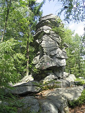
Teufelstisch (Bavarian Forest)
Appearance
You can help expand this article with text translated from the corresponding article in German. (June 2010) Click [show] for important translation instructions.
|
| Teufelstisch | |
|---|---|
 Teufelstisch. | |
| Highest point | |
| Elevation | 901 m (2,956 ft) |
| Geography | |
 | |
| Location | Bavaria, Germany |
Teufelstisch is a mountain of Bavaria, Germany.
48°56′N 13°04′E / 48.933°N 13.067°E
