Awaruwaunau Airport
Appearance
Awaruwaunau Airport | |||||||||||
|---|---|---|---|---|---|---|---|---|---|---|---|
| Summary | |||||||||||
| Serves | Awarewaunau | ||||||||||
| Elevation AMSL | 797 ft / 243 m | ||||||||||
| Coordinates | 2°38′50″N 59°11′40″W / 2.64722°N 59.19444°W | ||||||||||
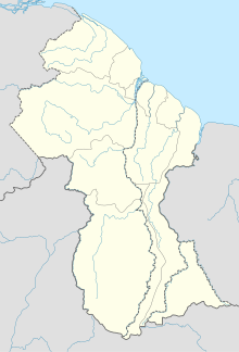
| Map | |||||||||||
 | |||||||||||
| Runways | |||||||||||
| |||||||||||
Awaruwaunau Airport (ICAO: SYAW) is an airport serving the village of Awarewaunau, an Amerindian village[3] in the Upper Takutu-Upper Essequibo Region of Guyana. The grass-surface runway is merely 570 meters long.
See also
[edit]References
[edit]- ^ Bing - Awaruwaunau
- ^ Airport information for SYAW at Great Circle Mapper.
- ^ "Indigenous Villages | Ministry of Amerindian Affairs". Retrieved 2021-02-13.
External links
[edit]

