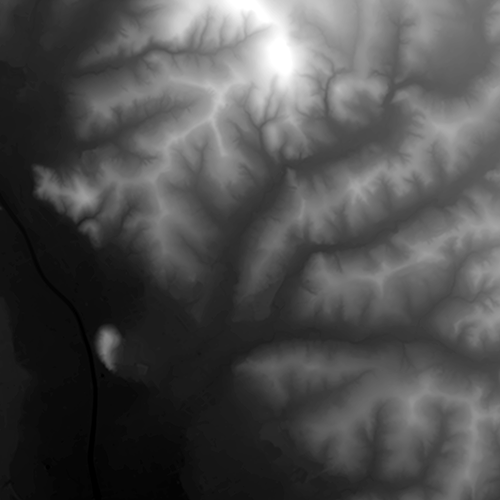
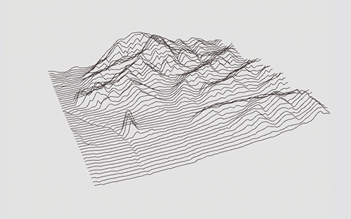
heightmap_lines uses open source libs and open data to work properly:
- processing.org - code within the context of the visual arts
- Tangrams Heightmapper - Easily export heightmaps from Openstreetmaps to use in heightmap_lines
Simply run this sketch in your favorite processing IDE :)
Move the sketch around
Rotate the sketch on the X-axis
Enable auto-rotation on the Z-axis
Rotate the sketch 90-degree clock-wise
Reset the rotated sketch
Increase/decrease the scale/resolution of the heightmap
Increase/decrease the space between the lines
Incease/decrease the stroke boldness of the lines
Toggle drawing the heightmap mesh
Toggle between lines and curves mode. Curve tightness is interactively based on the mouse cursor X-axis position.
Record the current sketch as .svg
Record the current sketch as .dxf
Record the current sketch as .tif
Recordig the current sketch as .png
Shift the peaks and lines around for fine-adjust of the generated lines
Have fun!
MIT
Free Software, Hell Yeah!

