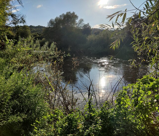
SO7679 : The River Severn at Eyemore Wood

taken 3 months ago, near to Upper Arley, Worcestershire, England

The River Severn at Eyemore Wood
The River Severn

The River Severn is the longest river in Britain, at about 354 kilometres (220 miles). Its source is on Plynlimon near Llanidloes, Powys, in the Cambrian Mountains. It then flows through Shropshire, Worcestershire and Gloucestershire. The Severn is the greatest river in terms of water flow in England and Wales.

Severn Way

The Severn Way is a long-distance footpath which follows the course of the River Severn through mid Wales and western England. It is 210 miles (340 kilometres) in length.


Creative Commons Licence [Some Rights Reserved]   © Copyright Mat Fascione and licensed for reuse under this Creative Commons Licence.
Geographical Context: Lowlands Rivers, Streams, Drainage Woodland, Forest River: River Severn Long Distance Path: Severn Way Primary Subject: River other tags: Woodland Click a tag, to view other nearby images.
1:50,000 Modern Day Landranger(TM) Map © Crown Copyright
+
+
1:50,000 Modern Day Landranger(TM) Map © Crown Copyright
TIP: Click the map for more Large scale mapping
Grid Square
SO7679, 634 images   (more nearby 🔍)
Photographer
Mat Fascione   (more nearby)
Date Taken
Wednesday, 28 August, 2024   (more nearby)
Submitted
Friday, 1 November, 2024
Subject Location
OSGB36: geotagged! SO 7677 7944 [10m precision]
WGS84: 52:24.7477N 2:20.5767W
Camera Location
OSGB36: geotagged! SO 7679 7943
View Direction
West-northwest (about 292 degrees)
Clickable map
+
NW N NE
W Go E
SW S SE
Image Type (about): geograph 
This page has been viewed about 8 times
You are not logged in login | register