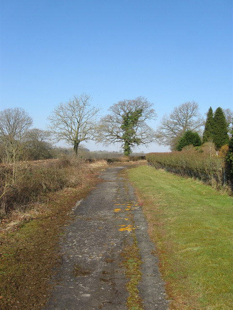
TQ1317 : Old Course of Billingshurst Road
taken 12 years ago, near to Ashington, West Sussex, England

Ashington is a parish in West Sussex that lies to the north and west of Washington, east of Thakeham, and south of Shipley and West Grinstead. The original parish dates from the 12th century when it was separated from Washington and bordered on Ashington Common. To this small area was added other detached parts, that to the east centred around Brownhill Farm and was squeezed between Washington and Wiston. A further strip between the two parishes, little more than the length of a field wide ran southwards to what is now the A283. Other small detached areas lay to the south of Lower Chancton Farm, whilst in the 15th century the former parish of Buncton was added. The parish remained fragmented until the end of the 19th century when the two small detached portions were added to Washington and Buncton was transferred to Wiston. Further adjustments were made in 1933 when the large northern detached portion around Brownhill was split between Washington and Wiston. However, in return the parish gained the small western parish of Warminghurst and some small detached portions of Thakeham, one of which contained Muttons Farm. Further changes occurred in 1960 when the area to the immediate east of Ashington church containing much of the modern village that grew up around London Road on the old common was transferred from Washington.
Ashington itself was for centuries little more than a straggling small hamlet that abutted Ashington Common to the west, any coalescing of dwellings occurred around the water mill on the south west edge of the common. The rest of the parish, including the detached portions, contained no settlements of any note though Buncton had been the site of a medieval village which had been deserted a number of years prior to its transfer. This changed in 1816 when the common was enclosed and the main road across it was clearly marked out. Three minor roads heading west; Mill Lane, Church Lane and Rectory Lane were also added to connect the new road to existing highways on the edge of the common or to provide new access to the church. The main road itself was turnpiked in the early 19th century and formed an important route between London and Worthing which later became the A24. Around this road began the slow development of the modern village of Ashington which began to gather pace during the 1920s and 30s and continued after the Second World War. Much of this development was west of the main road that to the east did not begin until after the construction of the bypass in 1994 when the narrow strip of land between old and new roads was filled with a number of cul de sacs. Development still continues with another recent development added on the site of Meiros Farm on the road to Warminghurst.
Part of the southern boundary with Washington runs along the course of an old Roman road, the Sussex Greensand Way, which ran between Hardham station on Stane Street and modern day Barcombe Mills. What is now the A24 was an old droving road running from Findon to Wealden pastures near Horsham. By the 18th century it had become the main route between London and the newly developed resort of Worthing, consequently turnpiked in the early 19th century and given a straight route across Ashington Common when that was inclosed in 1816. Its importance highlighted by the existence of two coaching inn, the Red Lion and Swan, by 1820. The road became the A24 after the First World War and the southern part was dualled in the 1960s though remained single lane through the village causing all kinds of misery until a new bypass was opened in 1994. At the northern end of the village is the junction with the B2133 which heads north westwards to Billinghurst. At the southern end of the village at Kensett's Corner is the road to Wiston via Hole Street, another minor route, Rectory Lane, heads west to the shrunken village of Warminghurst.
Ashington lies on Wealden clay with much of the detached portions originally woodland. One major stream, called the Yokebourne during the medieval period, a tributary of the River Adur runs through the village and for many centuries powered a water mill. Another, Lancing Brook, formed part of the north western boundary with Warminghurst.
