Grid reference NT7517
near to Chatto, Scottish Borders, Scotland
Coverage
We have
9 images
in grid square NT7517
Contribute
Explore gridsquare NT7517
Surrounding area
We have
9 images
for NT7517

|
From Dere Street towards the Cheviot
The stand of Scots Pine across the moor adds interest to the middle distance. The Cheviot dominates the distant view,
|

|
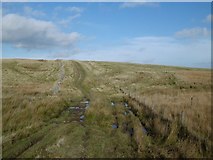
Dere Street, Rashy Knowe
by Richard Webb
|

|
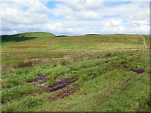
Boggy grassland south of Hare Law |

|
Cunzierton Hill
by Richard Webb
A hill fort to the west of Dere Street.
|

|
Pasture beside Dere Street
by Richard Webb
Here there is only a dyke on the west side of the road. On the east, an electric fence.
|

|
Dere Street
by Richard Webb
A damp bit.
|

|
Dere Street near Rashy Knowe |

|
View over Dere Street to Cunzierton Hill |

|
Gate, Dere Street
by Richard Webb
With an electrified slinky on the south side.
|
|
