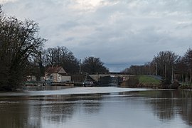
Gurgy
Tools
General
Print/export
In other projects
Appearance
From Simple English Wikipedia, the free encyclopedia
The printable version is no longer supported and may have rendering errors. Please update your browser bookmarks and please use the default browser print function instead.
Gurgy | |
|---|---|
 | |
| Coordinates: 47°52′01″N 3°33′40″E / 47.8669°N 3.5611°E / 47.8669; 3.5611 | |
| Country | France |
| Region | Bourgogne-Franche-Comté |
| Department | Yonne |
| Arrondissement | Auxerre |
| Canton | Seignelay |
| Area 1 | 13.12 km2 (5.07 sq mi) |
| Population (2006) | 1,695 |
| • Density | 130/km2 (330/sq mi) |
| Time zone | UTC+01:00 (CET) |
| • Summer (DST) | UTC+02:00 (CEST) |
| INSEE/Postal code | 89198 /89250 |
| Elevation | 82–144 m (269–472 ft) |
| 1 French Land Register data, which excludes lakes, ponds, glaciers > 1 km2 (0.386 sq mi or 247 acres) and river estuaries. | |
Gurgy is a commune. It is found in the Yonne department in the center of France.
References


