The Pytorch implementation is coming soon on [yhlleo/DeepSegmentor]!
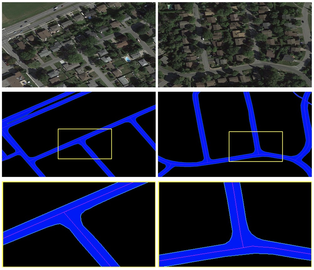
A multi-task benchmakr dataset for the paper: RoadNet: Learning to Comprehensively Analyze Road Networks in Complex Urban Scenes from High-Resolution Remotely Sensed Images, IEEE Transactions on Geoscience and Remote Sensing (TGRS), 2018.
We collected several typical urban areas of Ottawa, Canada from Google Earth. The images are with 0.21m spatial resolution per pixel (zoom level 19).
Download link:
- BaiduYun(Password: h2zt)
- GoogleDrive
Training files:
- 2,3,4,5,6,7,8,9,10,11,12,13,14,15
Testing files:
- 1,16,17,18,19,20
We take an example with the folder "1":
| Filename | Explaination |
|---|---|
Ottawa-1.tif |
original image |
segmentation.png |
manual annotaion of road surface |
edge.png |
manual annotation of road edge |
centerline.png |
manual annotation of road centerline |
extra.png |
roughly mark the heterogeneous regions with a single pixel width brush (red) |
extra-Ottawa-1.tif |
the Ottawa-1.tif is overlaid with the extra.png |
Please cite this paper if you use this dataset:
@article{liu2018roadnet,
  title={RoadNet: Learning to Comprehensively Analyze Road Networks in Complex Urban Scenes from High-Resolution Remotely Sensed Images},
  author={Liu, Yahui and Yao, Jian and Lu, Xiaohu and Xia, Menghan and Wang, Xingbo and Liu, Yuan},
  journal={IEEE Transactions on Geoscience and Remote Sensing},
  volume={57},
  number={4},
  pages={2043--2056},
  year={2018},
  doi={10.1109/TGRS.2018.2870871}
}
If you have any questions, please contact me: yahui.liu AT unitn.it without hesitation.


