A demonstration of national-scale thematically-detailed land cover mapping using automated methodology, cloud computing, and crowdsourcing in Indonesia
This repository contains the Google Earth Engine Javascript scripts to produce the national-scale land cover/land use map datasets for the given requirements of thematically-detailed national-scale restoration assessment in Indonesia under the RESTORE+ project. See the full ATBD at link, GeoForGood 2020 presentation at link.
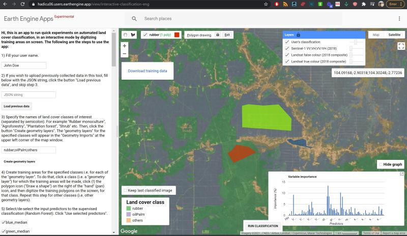
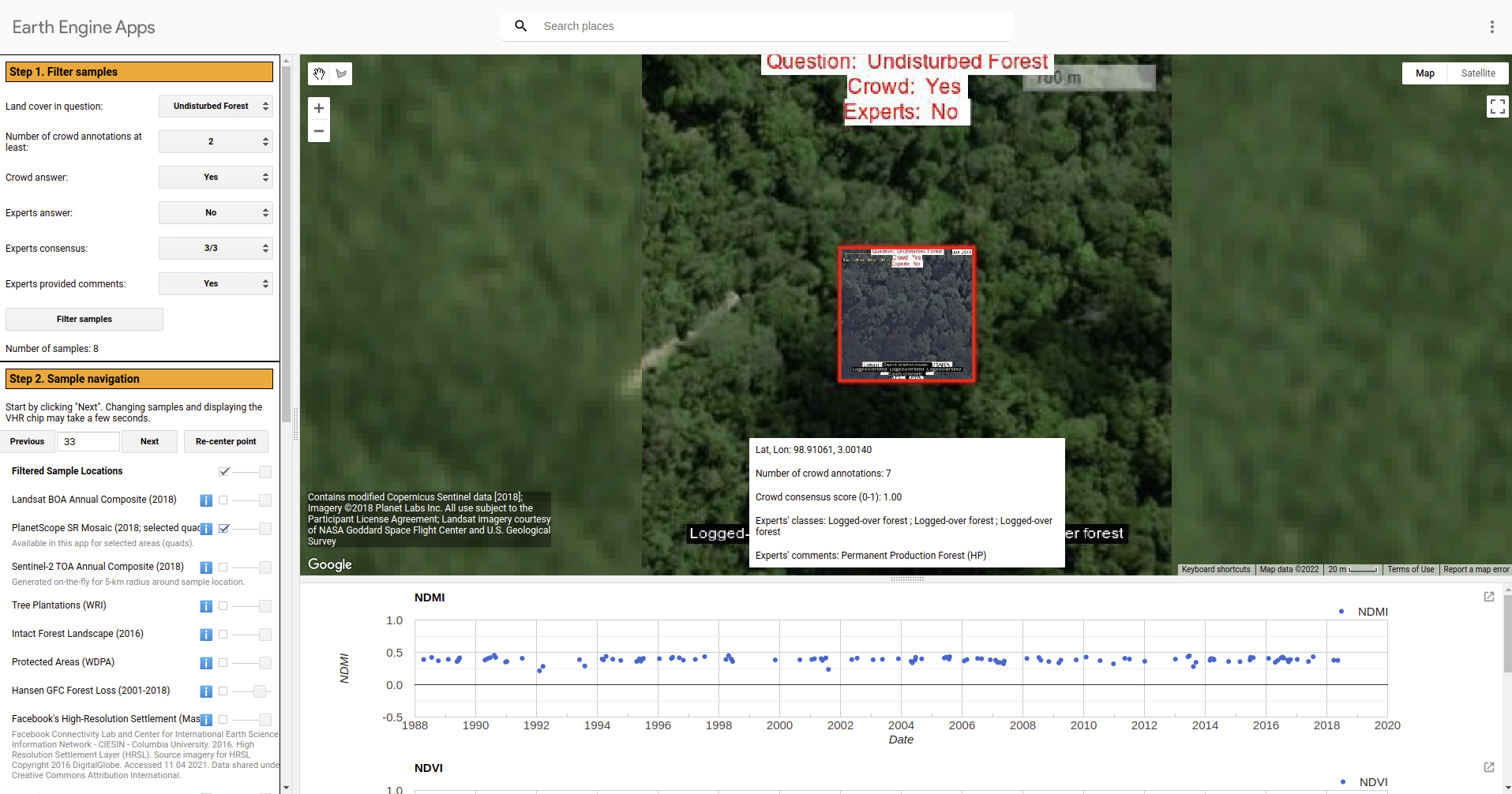
Earth Engine apps developed to support training data collection and algorithm design:
https://hadicu06.users.earthengine.app/view/interactive-classification-eng
https://www.loom.com/share/3872a78a2e854c288302e98411b98ee7

https://hadicu06.users.earthengine.app/view/composites-explorer

https://hadicu06.users.earthengine.app/view/inspect-crowd-vs-experts-interpretation

