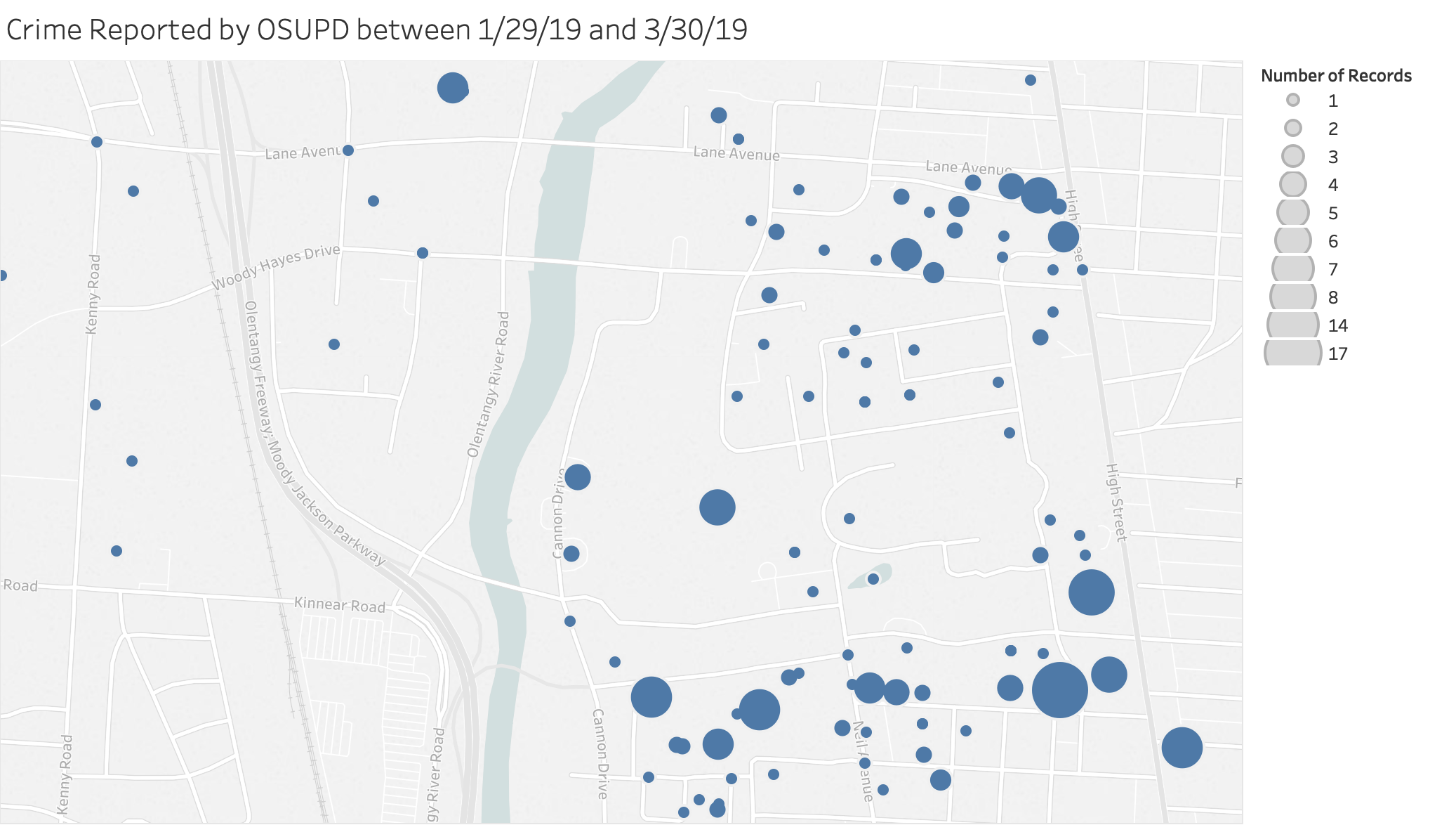
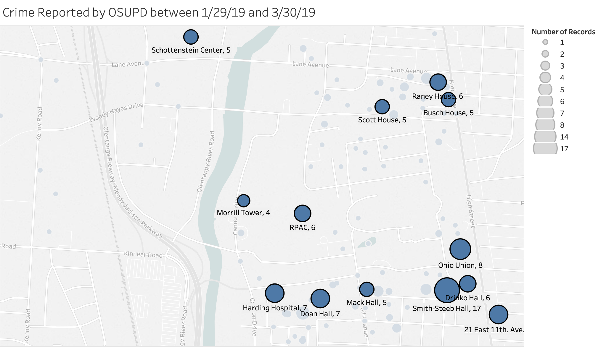
This sub-repository contains OSU crime data from the OSU daily crime log from January 29, 2019 to March 30, 2019.
The data was scraped from the PDF, and converted to a .csv using Python. Some manual data adjustment was required due to formatting inconsistencies in the PDF.
Latitude and Longitude was pulled from the Google Maps geocode API.
| field | description |
|---|---|
case_num |
The internal case number |
reported_at |
The datetime that the crime was reported to OSU PD |
start_datetime |
The start time of the crime, or the time the crime was reported if unknown |
end_datetime |
The end time of the crime |
offenses |
A summary of what occurred |
location |
The building or general location the crime happened |
status |
One of ['Closed', 'Closed - Arrest', 'Open - Arrest', 'Open - Pending Investigation', 'CSA Victim Declined to Make Report', 'Unfounded'] |
lat |
The latitude of the location (0.0 if unavailable). |
lon |
The longitude of the location (0.0 if unavailable). |